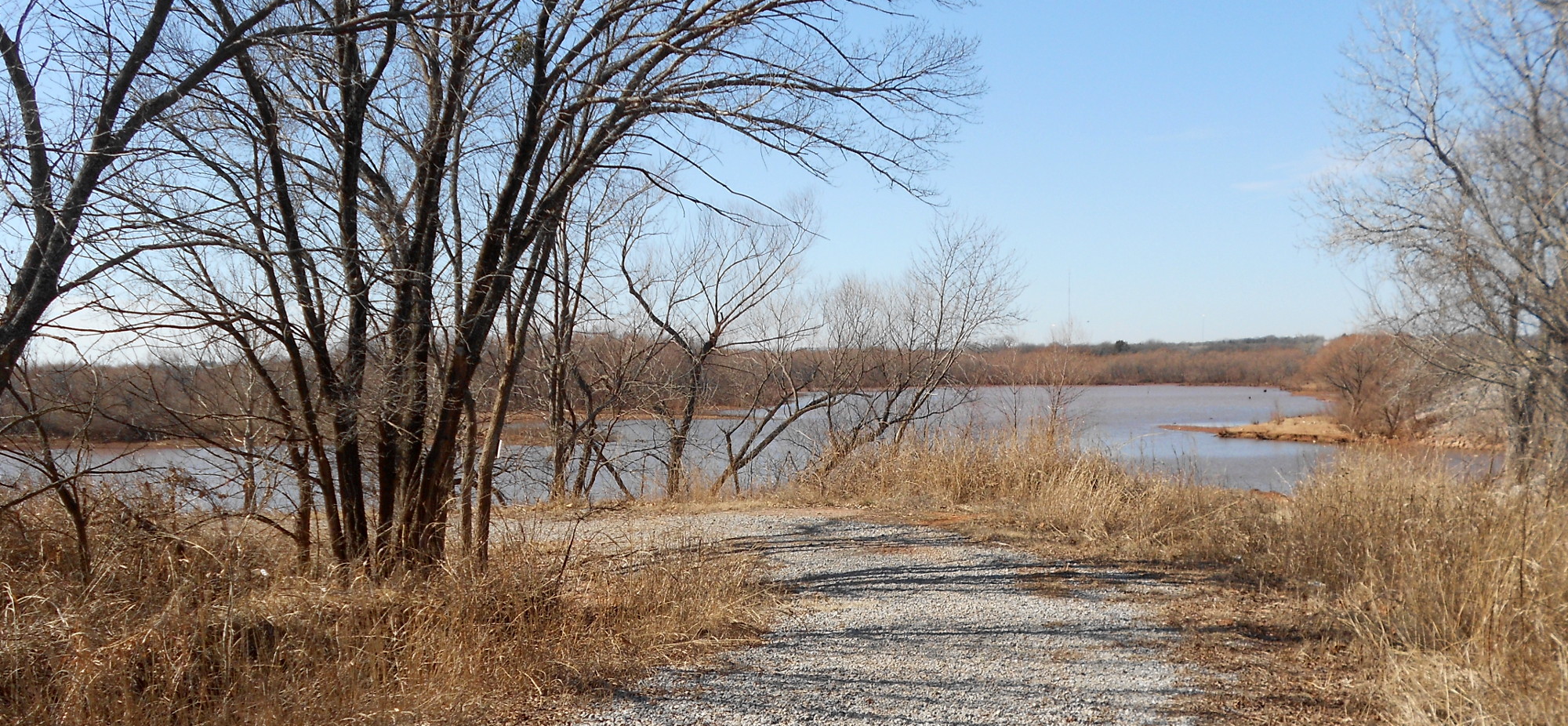
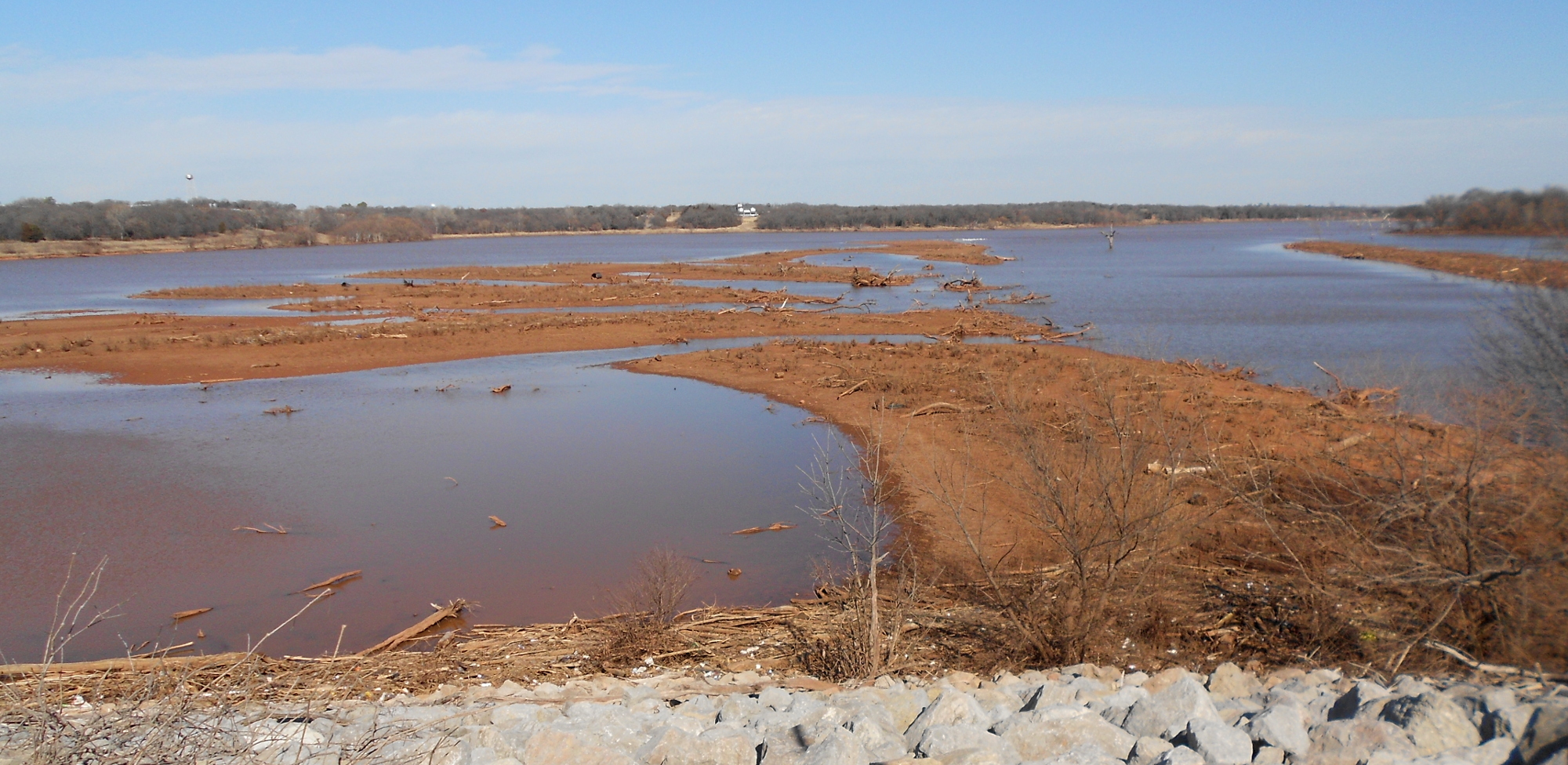
This was not the best day for pictures. Much of where I went offered precious little photogenic view. The ride was my typical run north on Midwest Boulevard up to Memorial Road, but this time I turned left. It’s just a short distance to the upper end of Arcadia Lake. This time of year the water level is low.
It was largely uneventful riding over the hilly stretch of Memorial Road westward toward what we call the Broadway Extension, a section of old Highway 66 connecting downtown OKC with Edmond. What I hoped to see wasn’t there; the Cain’s Coffee warehouse no longer shows their brand and it looks like their retail front is now office space.
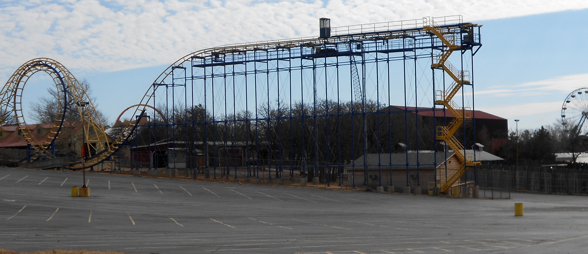
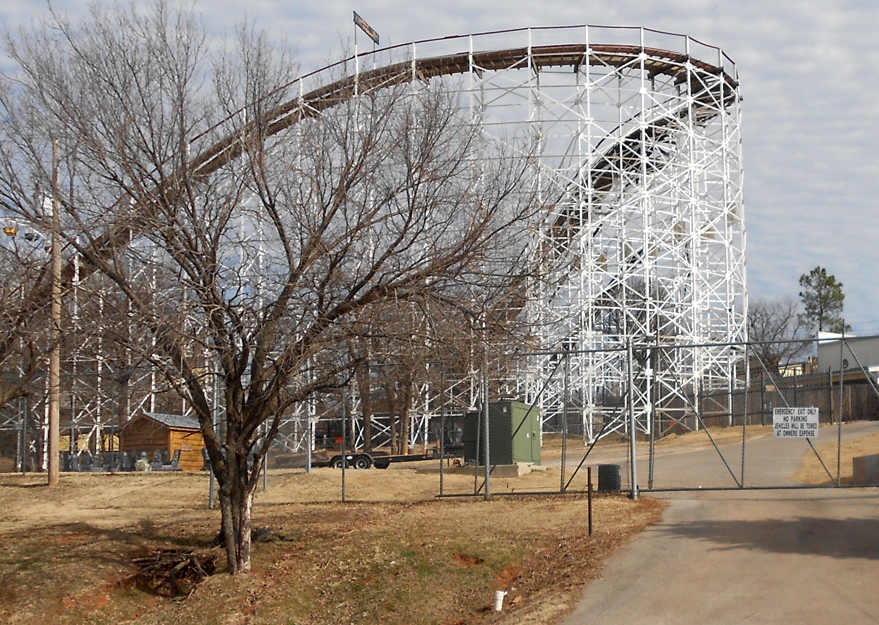
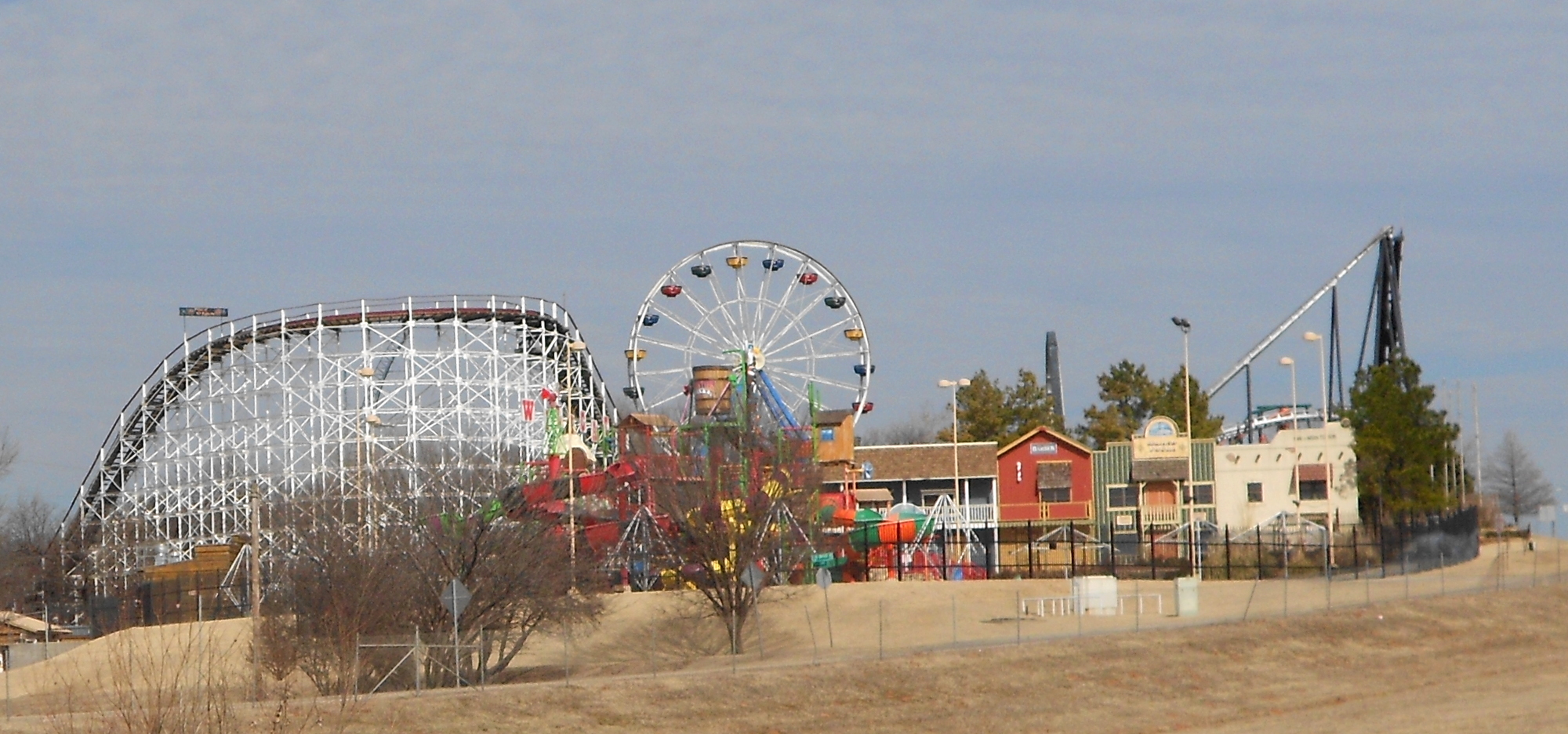
![]() But the way they have decorated the overpass where Memorial runs under the highway you would think it was some kind of gateway to a park. Nope, just the gaudy stuff Okies do. So I rode back over hill and dale on the south side of Edmond until I got to Coltrane. You have to understand that this area is the roof of the county; this is out where all the TV stations and some radio stations have their towers. It’s called “The Antenna Farm” for that reason. Sadly, the brutal high crest on Coltrane had trees close to the edge of the pavement and enough traffic that I was reluctant to stop for a photo. So I rolled on down a couple more miles to the backside of Frontier City. This was a big deal forty-five years ago, and was still kind of nice as they expanded over the decades, but now it’s dying.
But the way they have decorated the overpass where Memorial runs under the highway you would think it was some kind of gateway to a park. Nope, just the gaudy stuff Okies do. So I rode back over hill and dale on the south side of Edmond until I got to Coltrane. You have to understand that this area is the roof of the county; this is out where all the TV stations and some radio stations have their towers. It’s called “The Antenna Farm” for that reason. Sadly, the brutal high crest on Coltrane had trees close to the edge of the pavement and enough traffic that I was reluctant to stop for a photo. So I rolled on down a couple more miles to the backside of Frontier City. This was a big deal forty-five years ago, and was still kind of nice as they expanded over the decades, but now it’s dying.
I’ll let WordPress worry about the final placement of these images. If you look on any mapping service where I-35 runs between OKC and Edmond, you can see it right along the Interstate and I simply rolled down along the backside to the south end to Hefner Road. Most of what I saw was the old roller coaster tracks.
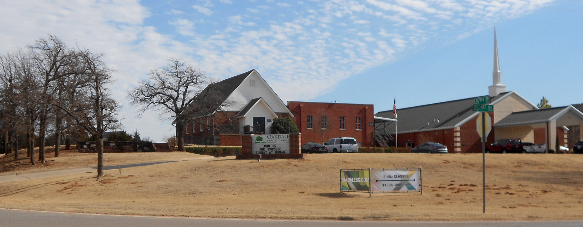
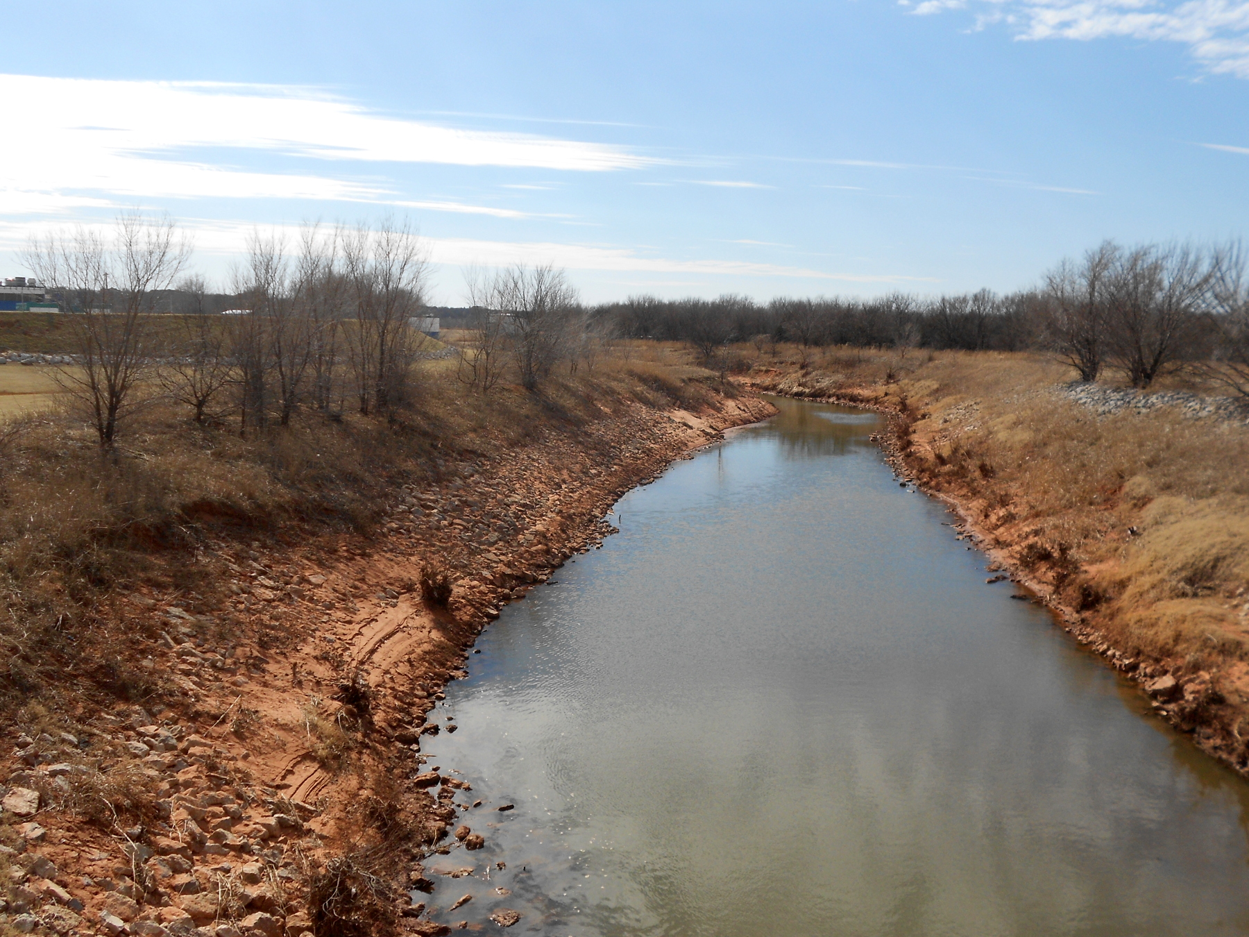 I headed back east on Hefner Road, where I crossed the Deep Fork a couple miles upstream from Arcadia Lake. To my south (facing into the sun) about a mile away was a high spot where a construction crew was working on what looked like a private home, but it was so large the roof was measured in acres. My poor pocket camera just couldn’t pick it up. However, I did stop by what was once called Witcher Baptist Church, something older than most living humans. The old Witcher community had a tiny school that now occupies a quarter-section of land. It’s still under construction and totally ugly. The church has also grown and their new building must not be enough, because it looks like they plan to move east a ways on Hefner to the front side of a very expensive subdivision. I can’t guess how they’ll use the old building.
At Air Depot I turned south for a few quiet hilly miles. It was an odd mixture of palatial homes that gave way to very old horse and cattle ranches that had been whittled down to a few acres each. At NE 63rd I turned back east. This is a very rough asphalt surface. In places you can see three layers down and the topmost is already pretty old. But my reward was seeing the old Sunnyside school again. The new owner has done serious work clearing the lot of underbrush.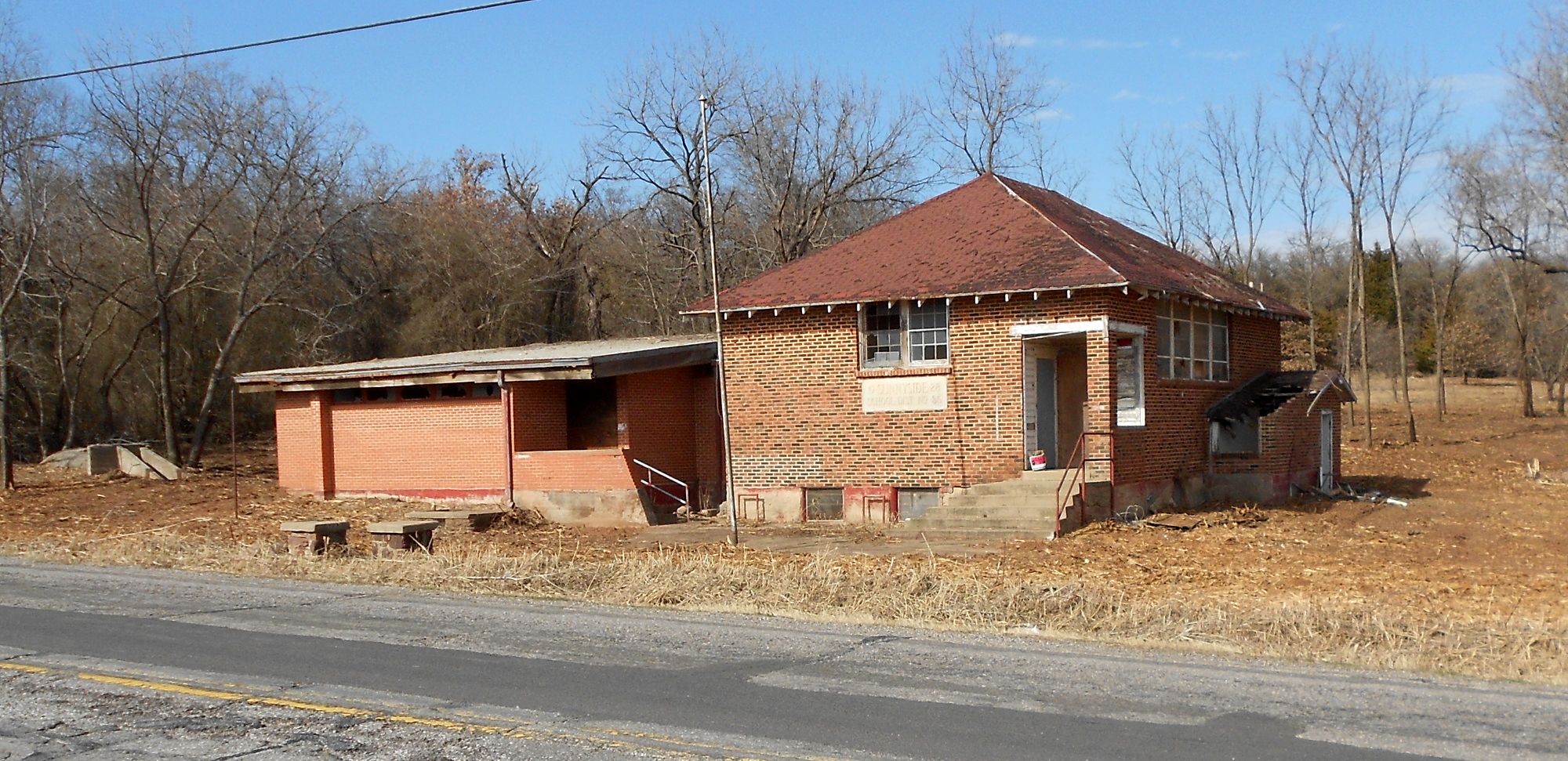 It was just a short way from Midwest Boulevard where I turned south back toward home.

