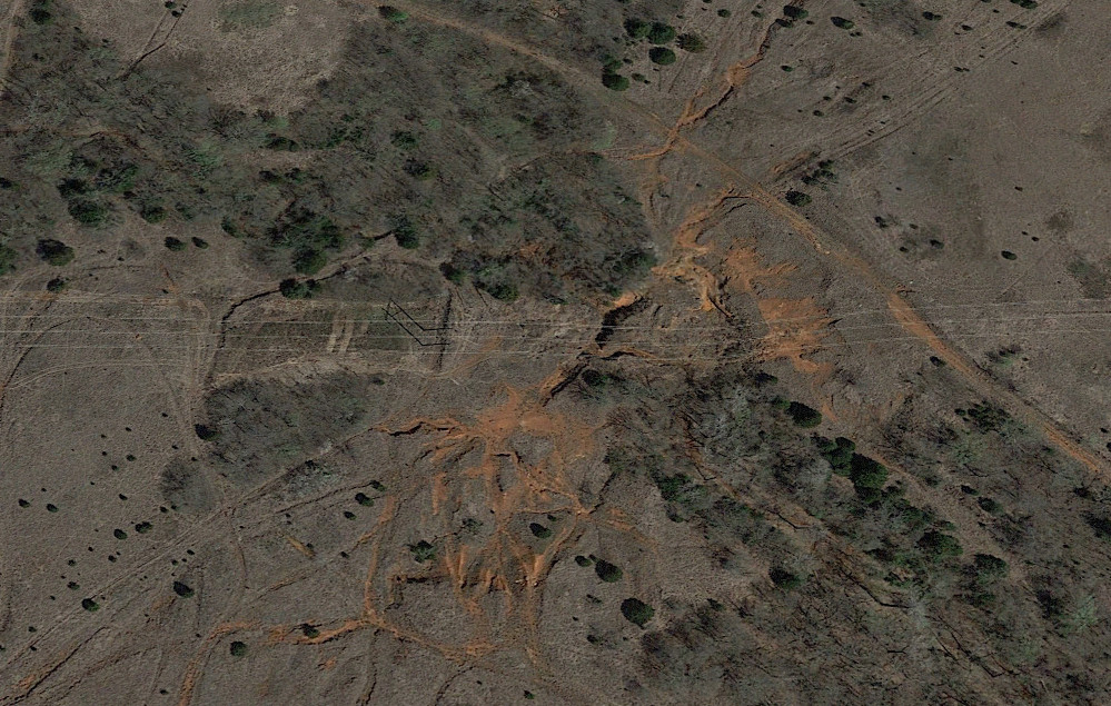
When using a mapping service with satellite view, you often can’t really get a good image, even when the service tries enhancements to make it more 3D. This image from Google Earth shows a patch of ground from several years ago near the NW corner of Draper Lake. 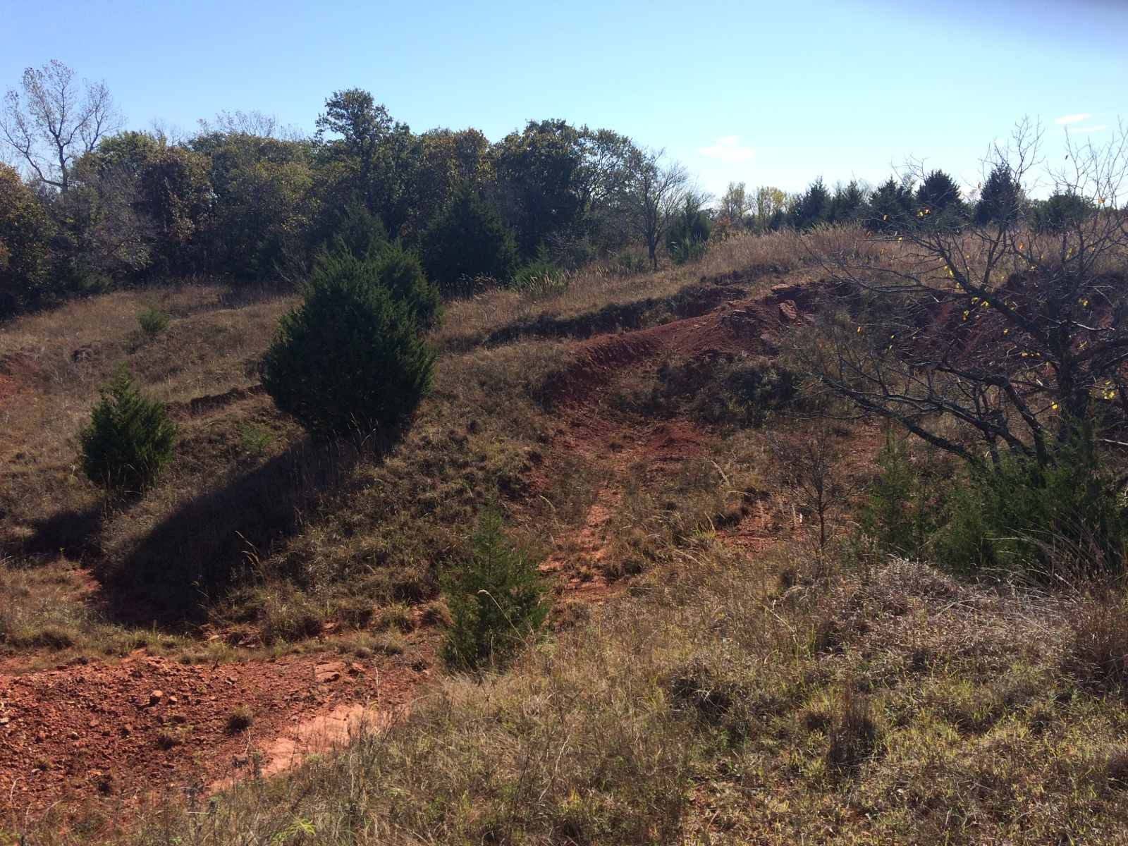 It should be obvious that this was pretty popular with motocross riders at one time. However, not all the exposed red clay is their handiwork. It became a popular spot because it was already quite rough and featured a lot of exposed rosy sandstone formation.
  Access for me was hardly so easy as the image suggests, since there has been a heavy regrowth of the native grass and shrubs, and there are more trees now. I pulled off the main road under the power lines, pushed my bike through the first head-high screen of grass and parked it there. The rest of it was tromping through more of that high grass and over several deep washouts (we call them gullies).
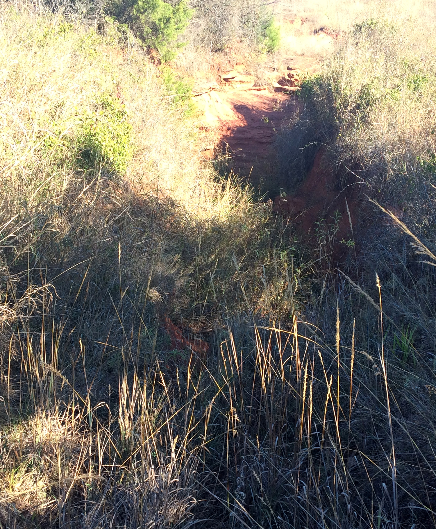
 The first image I shot at ground level is on the southern edge out from under the power lines. Heading back to the north I encountered a washout that ran down into a very deep bottom, but in the second image (above right) it’s partly obscured by the tall grass. It’s a steep climb over sandstone ledges up the other side. I could not have walked through that. In the satellite view this is represented as a darkly shadowed, black gash running SW-NE in the center of the image and right under the power lines. Looking eastward from the high side of this gash I shot the third image facing up the steep slope that isn’t so obvious on the satellite image.
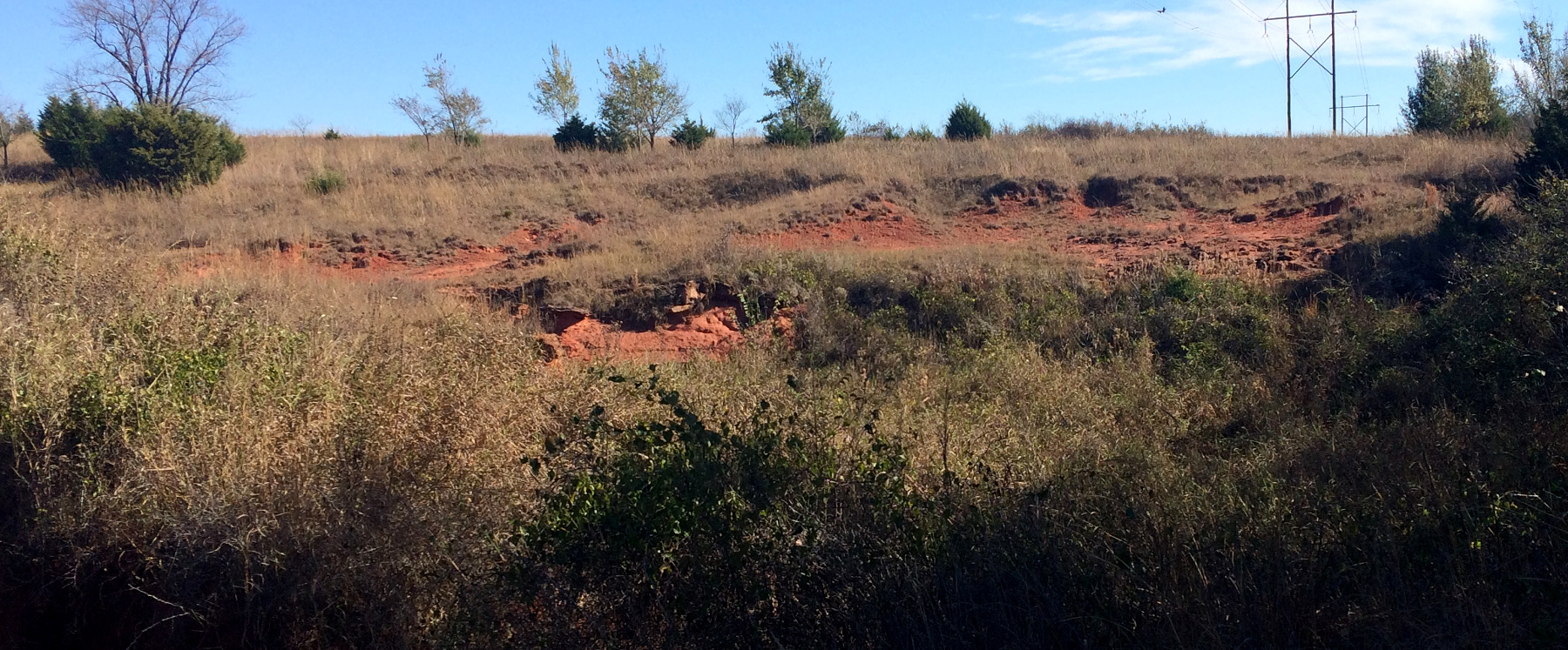
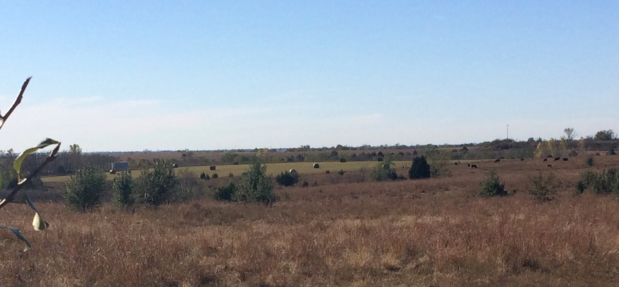 In this final shot I was heading back out by way of the bike trail west of the lake and looked back south over the gullies running across this pasture land. I’m told the lake level obscures some lovely canyons and gullies just like this, and when they finally build the West Elm Creek Reservoir, it will be a similar story.

