 This is less about the park and more about the terrain. Not all of Oklahoma is flat.
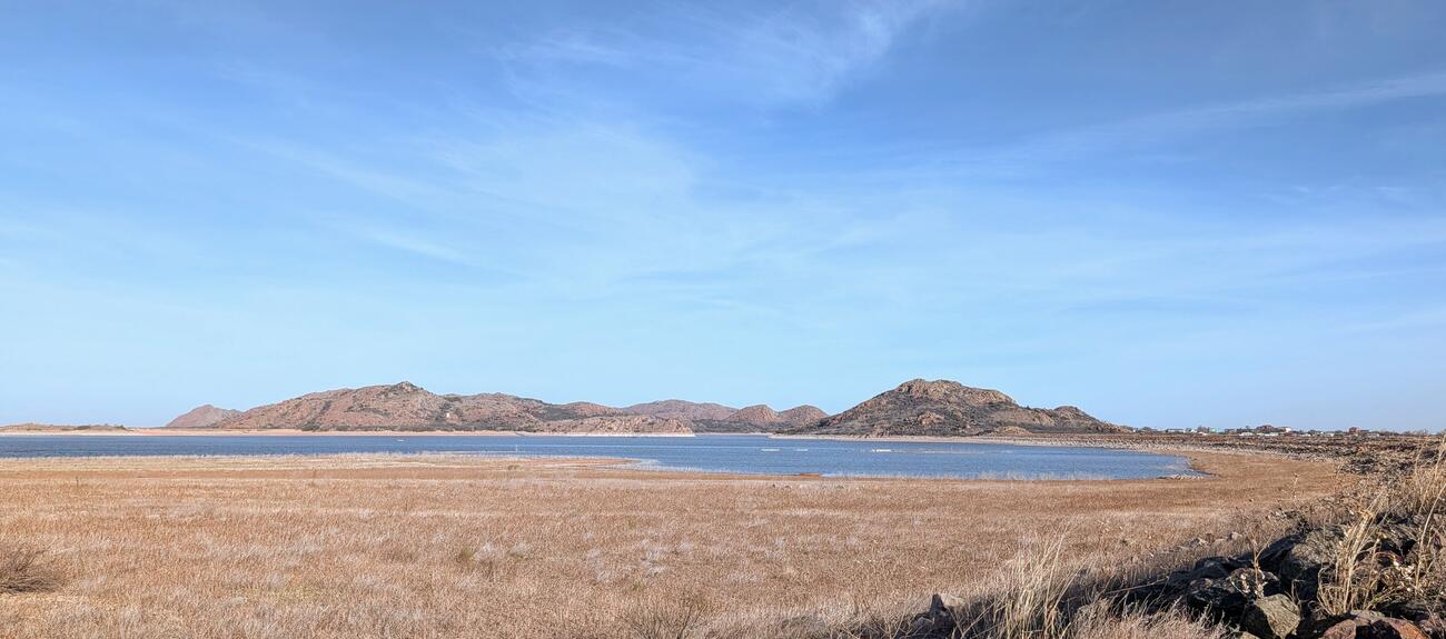
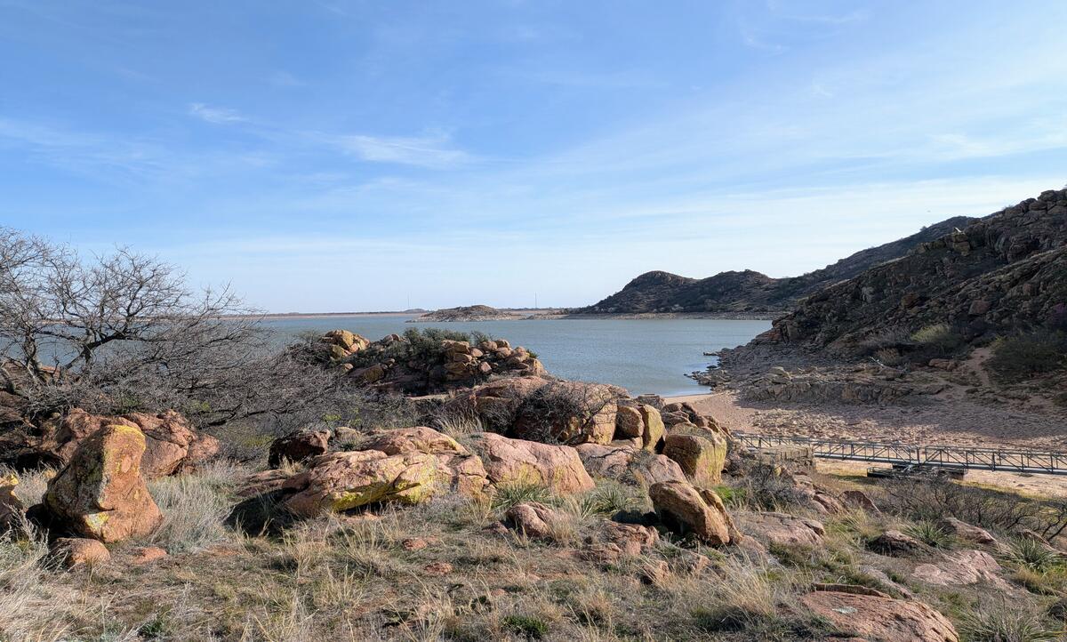
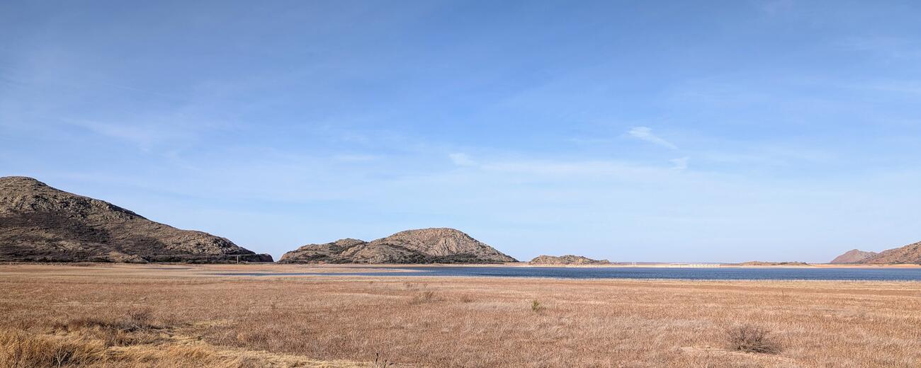 These hills are made entirely of granite, and there are some pockets of quartz scattered around. These first three shots are a view of the Altus-Luggert Lake from the eastern side, outside the park.
 I was hoping to create a panorama from these shots but the Hugin program choked on the images. As a side note, so did GIMP. I had to use Image Magic.
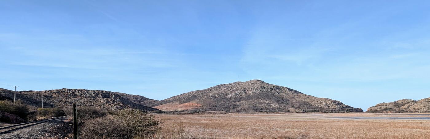
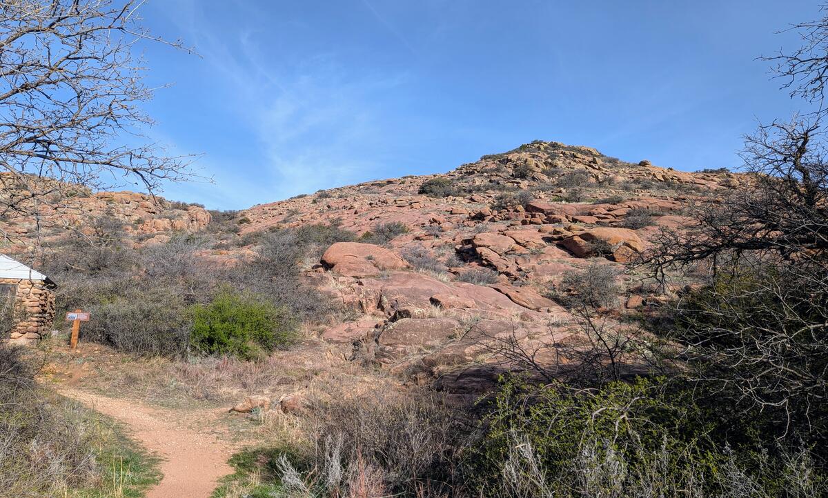 One of the main trails climbs up what they call Baldy Peak. There is no trail, per se, but you can pick your way over the granite boulders to the top. I saw some little kids with their parents above me.
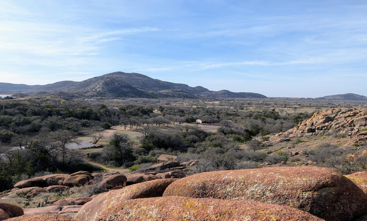 I managed to climb a third of the way up before my knee started complaining. This next image is the view just from that much of a climb.
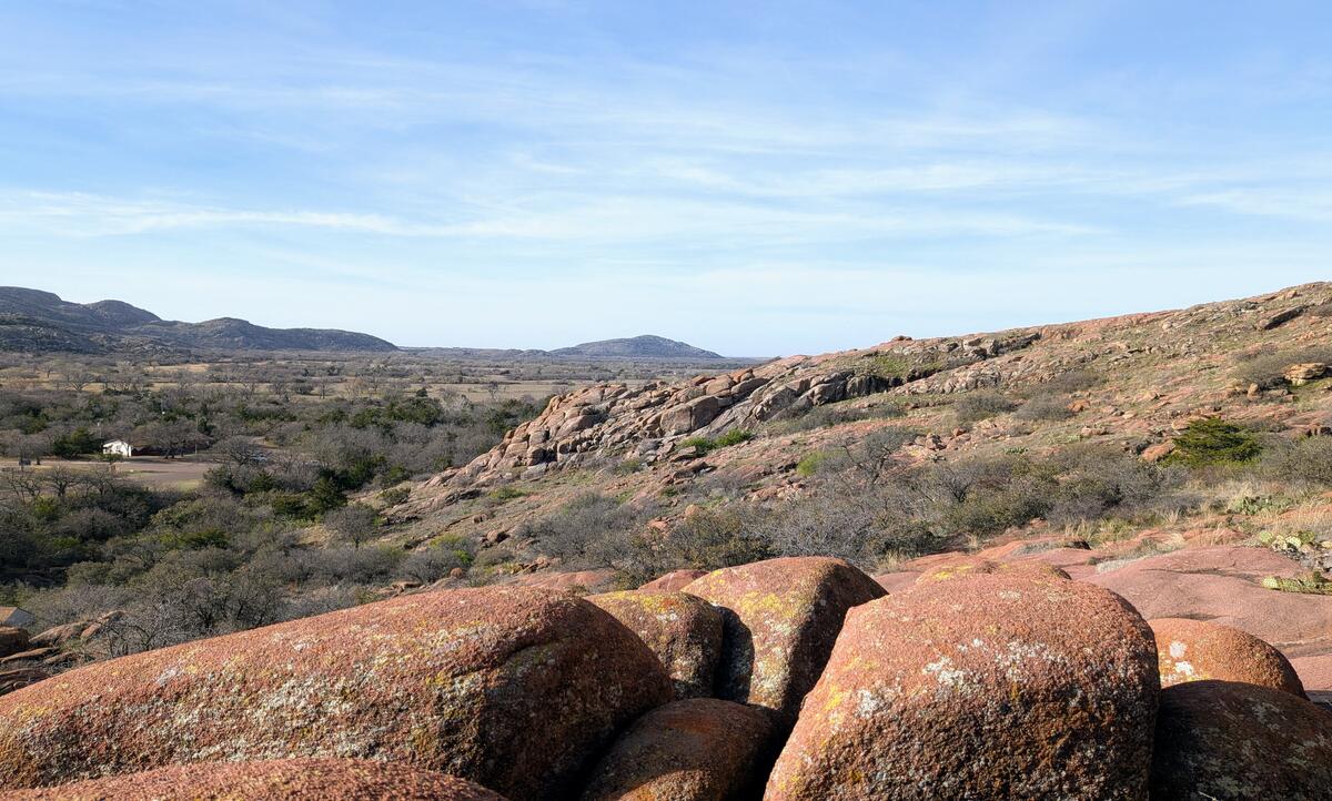 Turning to the south (image below), you can see that I am standing on the western end of the ridgeline of this granite formation. Most of the hills are actually on private property, from what I understand.
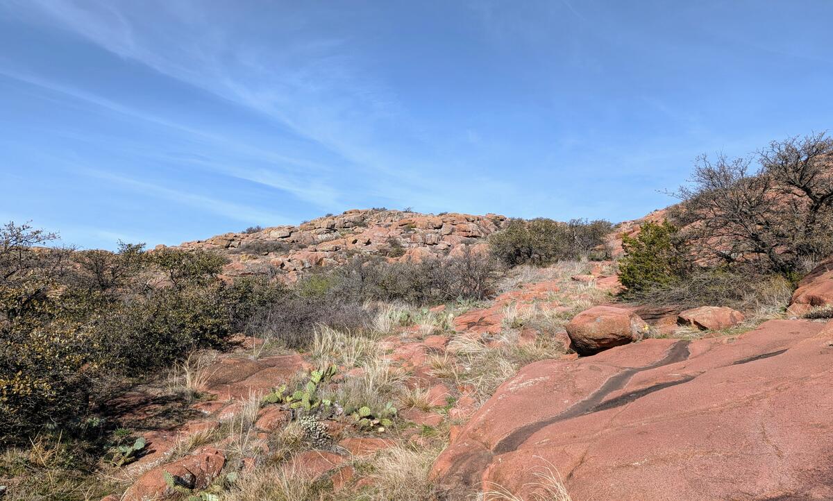 Almost behind me was this view farther up Baldy and the attached ridgeline (image below). It made me miss the old days when I could climb this stuff with ease.
 The boat ramp area sits astride an isthmus between hills. This is the view across the cove near the ramp, showing that the water level is a bit low (below left).
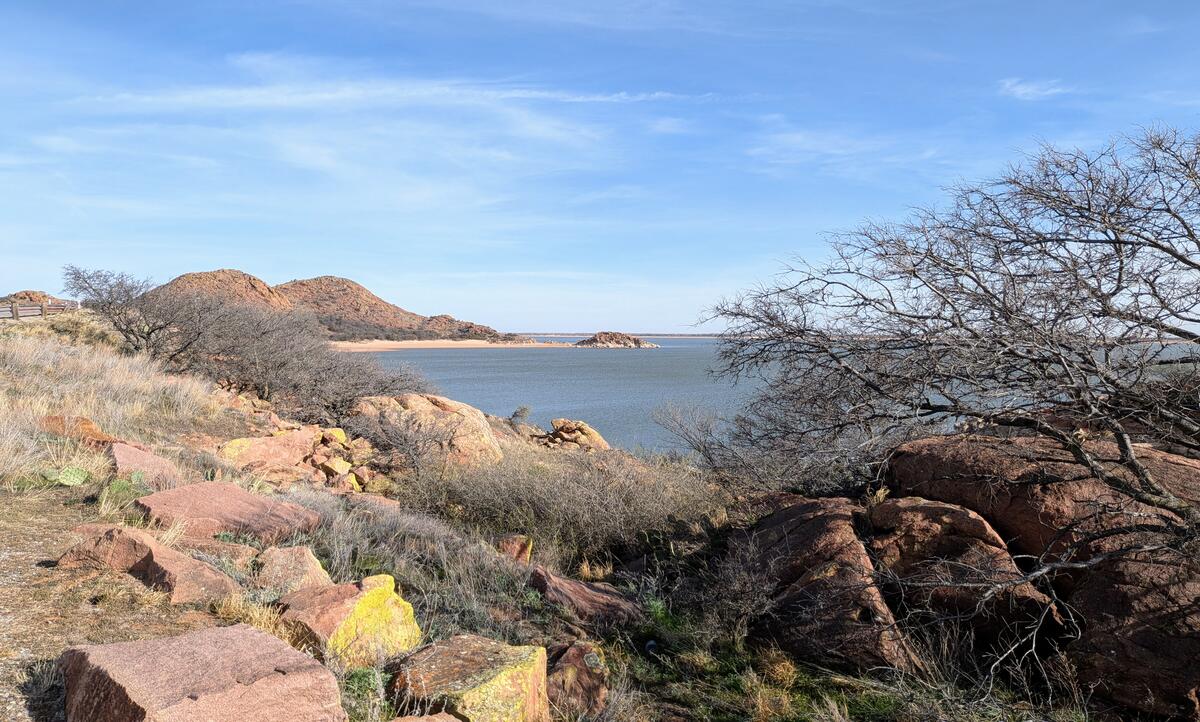 On the road to the lodge, there is one pullout for this view. The lower water level exposes sandy deposits around the granite humps. (The text here loses synchronization with the images.)
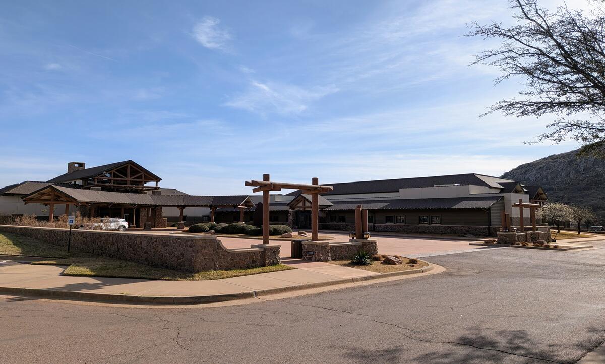 The lodge is really quite nice. Not so nice is that internal politics within the agency keeps killing any contractors’ interest in running the restaurant. Nobody can keep it open with the tight-fisted budget without raising prices so high that no customers will eat there.
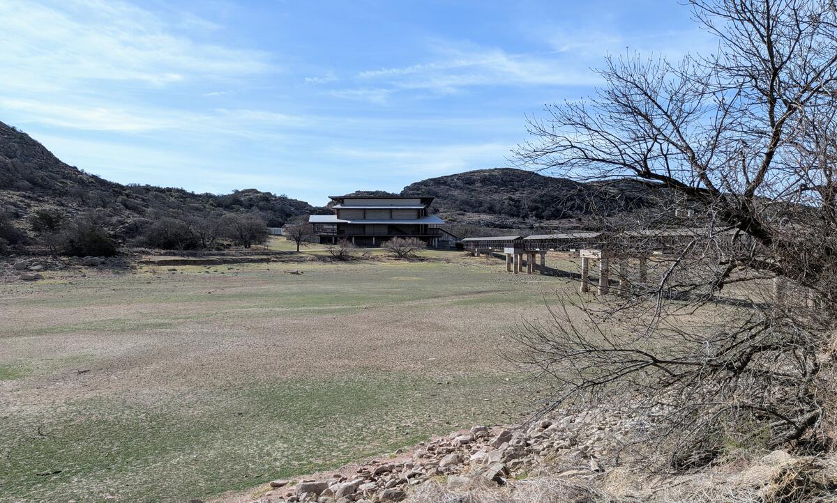 This is where the low water level really shows. The performance venue across the cove doesn’t see much use, either.
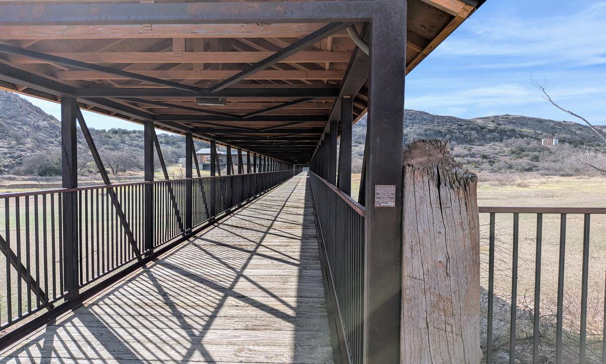 I found the view along the bridge quite interesting by itself.