 Today’s ride was ostensibly aimed at Lake Overholser on the far western edge of Oklahoma County. I had passed it once on that giant loop with Lake Hefner but today I wanted see the rest of Overholser. This was just a standard start from the apartment up Reno, over the NE 4th and up to Bricktown. Heading south toward the Chesapeake Boathouse I stayed on the north bank of the Oklahoma River Trail until I got to Portland and made the crossover to south bank. From there it was just another mile to Meridian.
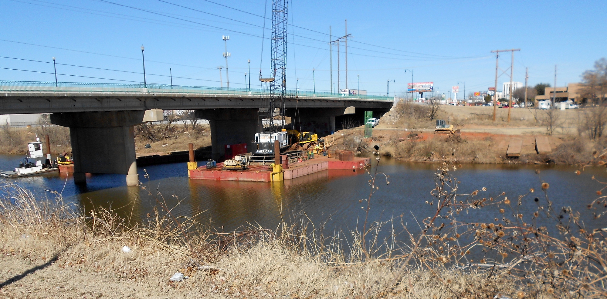
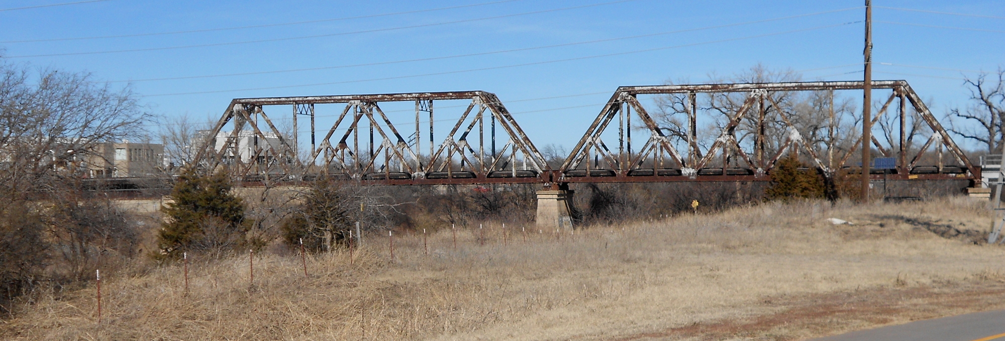 While the recreational additions are still under construction (image above left), there was actually nothing happening up on top of the bridge. The apron matching the road to the bridge deck is still unfinished on the east lanes, but it was easily navigable on my bike. I had a safe and clear passage to the far side, where the construction crew carefully avoided blocking the Overholser Bike Trail, just visible running under the bridge on the far side (north bank of the North Canadian). I passed only a few cyclists, one of whom was a bicycle cop, all the way upriver and around north toward Overholser. To your upper right is the old railroad bridge across the North Canadian at the Mustang Road Electric Plant.
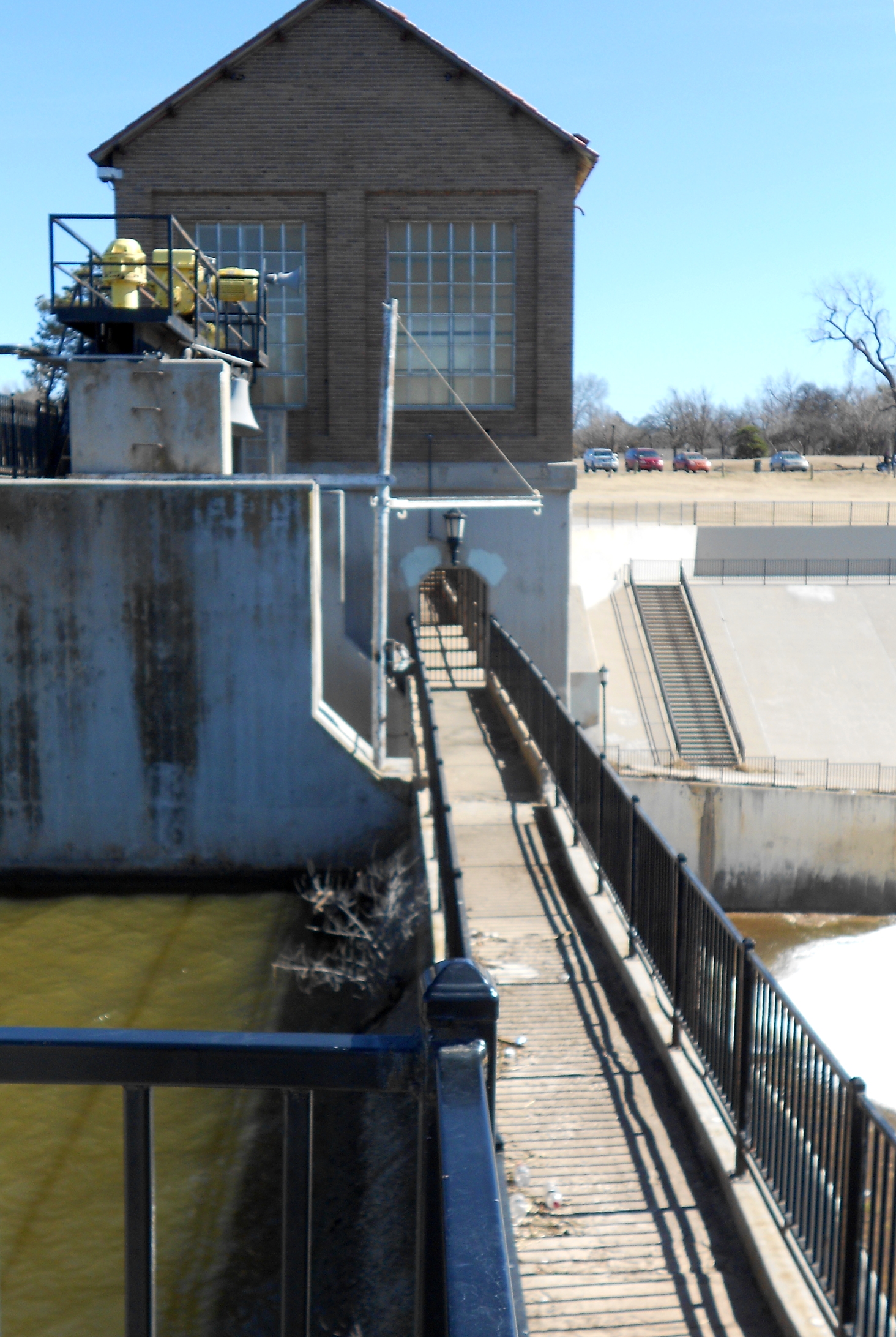 I figured it would be possible to walk my bike across the dam if the gates were open to pedestrian traffic. To my relief, it was open. However, it was not unobstructed totally. There was a mobile crank mechanism firmly planted across the path, but I simply lifted my bike over it.
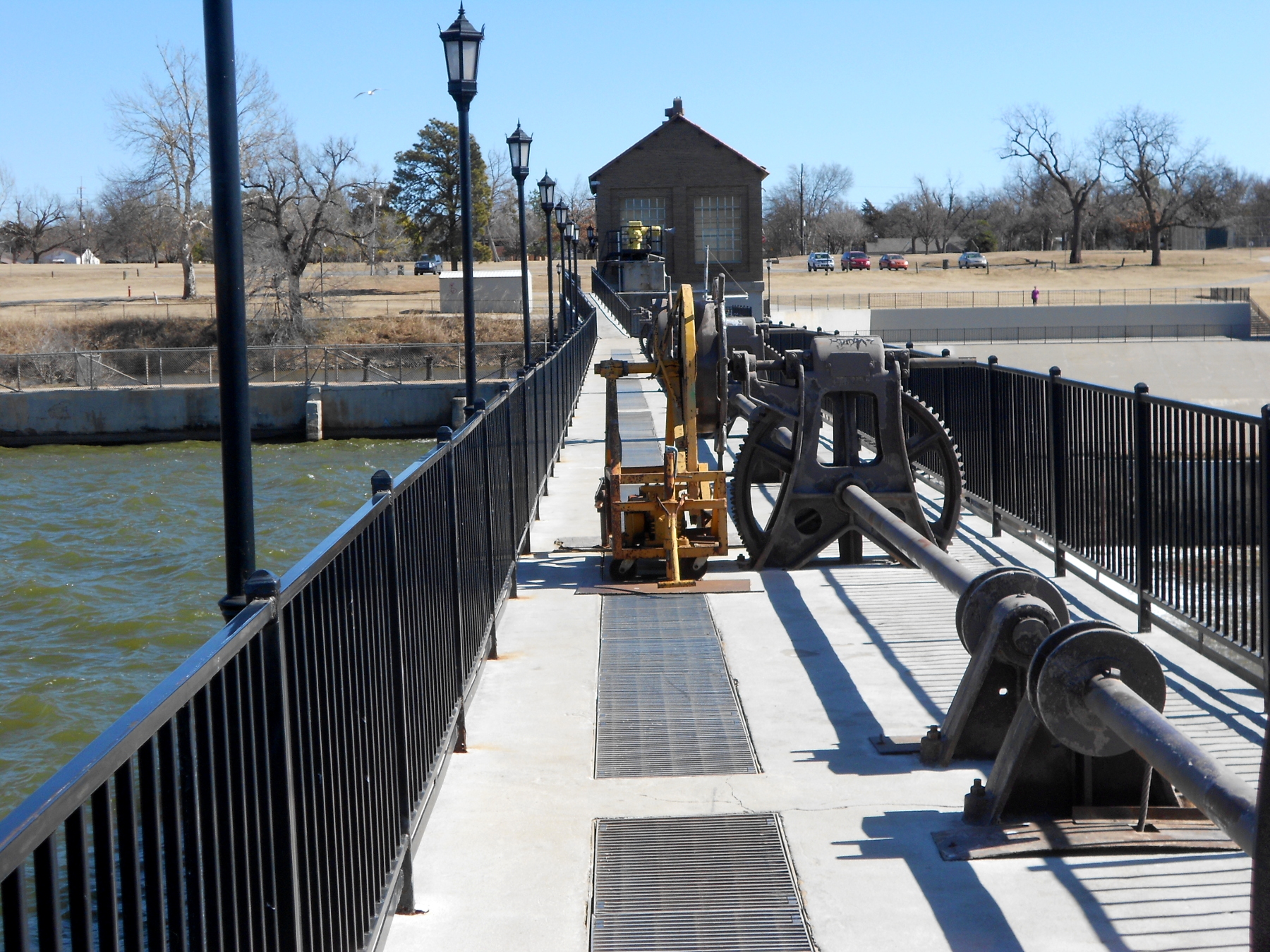 There was only one other pedestrian and I let him go in front of me.
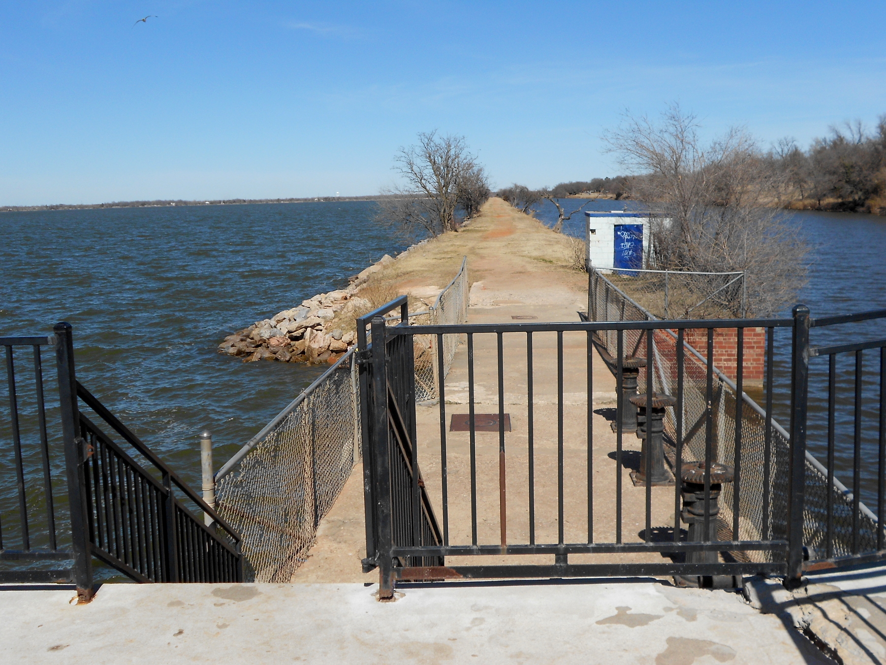
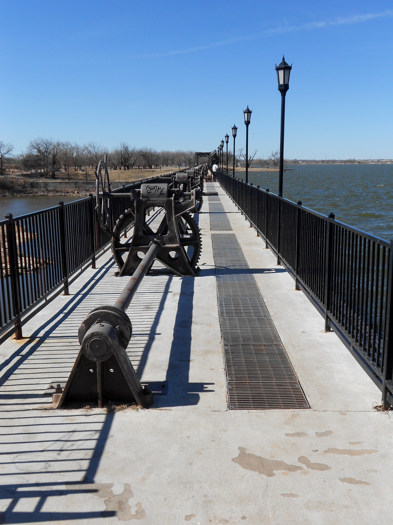
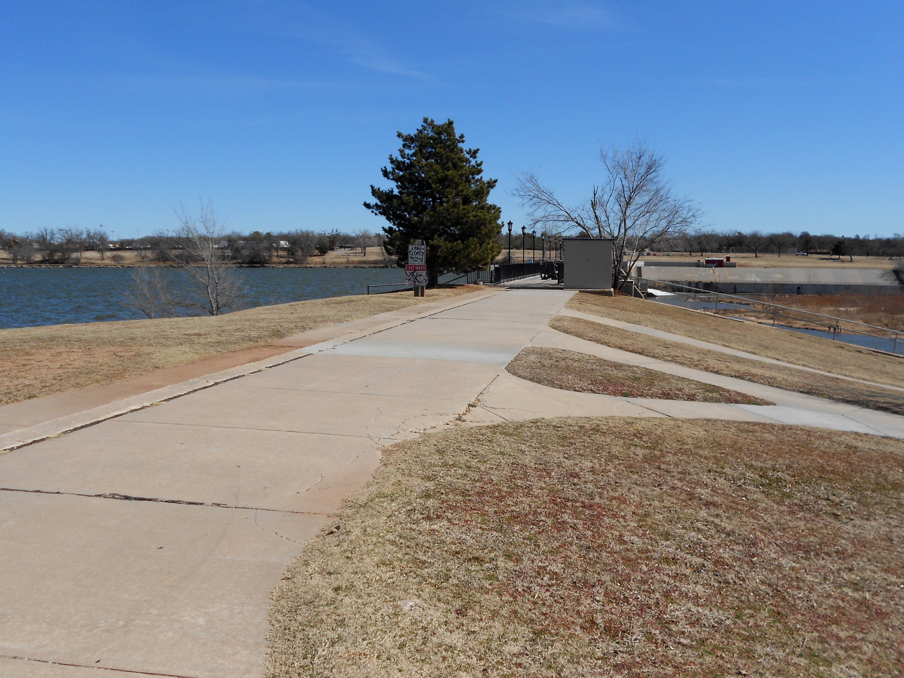
These five shots together were taken from the dam which is the south end of the lake, except the image lower right, which is looking east back across the dam. That shot of a path running up a berm is the separator between the river channel on the right (east) and the body of the lake on the left (west); it runs two miles northward. On the west side of the lake there is no nifty bike path, but a pretty decent two-lane road running around the entire shore of the lake and not much traffic.
![]() Once I came back around the north end, instead of heading south on the east bank, I simply stayed on the old Highway 66 route into Bethany, a separate municipality pretty much owned by the Nazarenes. It began as a little town around the old Nazarene college now called Southern Nazarene University. There was no way for me to get a good shot of the facility, but given how Bethany is still a dry town, you should not be surprised to see that the International Pentecostal Holiness Church has their headquarters in the same town. There were few impediments to a good shot of the IPCH offices and their own college, Southwestern Christian University.
Once I came back around the north end, instead of heading south on the east bank, I simply stayed on the old Highway 66 route into Bethany, a separate municipality pretty much owned by the Nazarenes. It began as a little town around the old Nazarene college now called Southern Nazarene University. There was no way for me to get a good shot of the facility, but given how Bethany is still a dry town, you should not be surprised to see that the International Pentecostal Holiness Church has their headquarters in the same town. There were few impediments to a good shot of the IPCH offices and their own college, Southwestern Christian University.
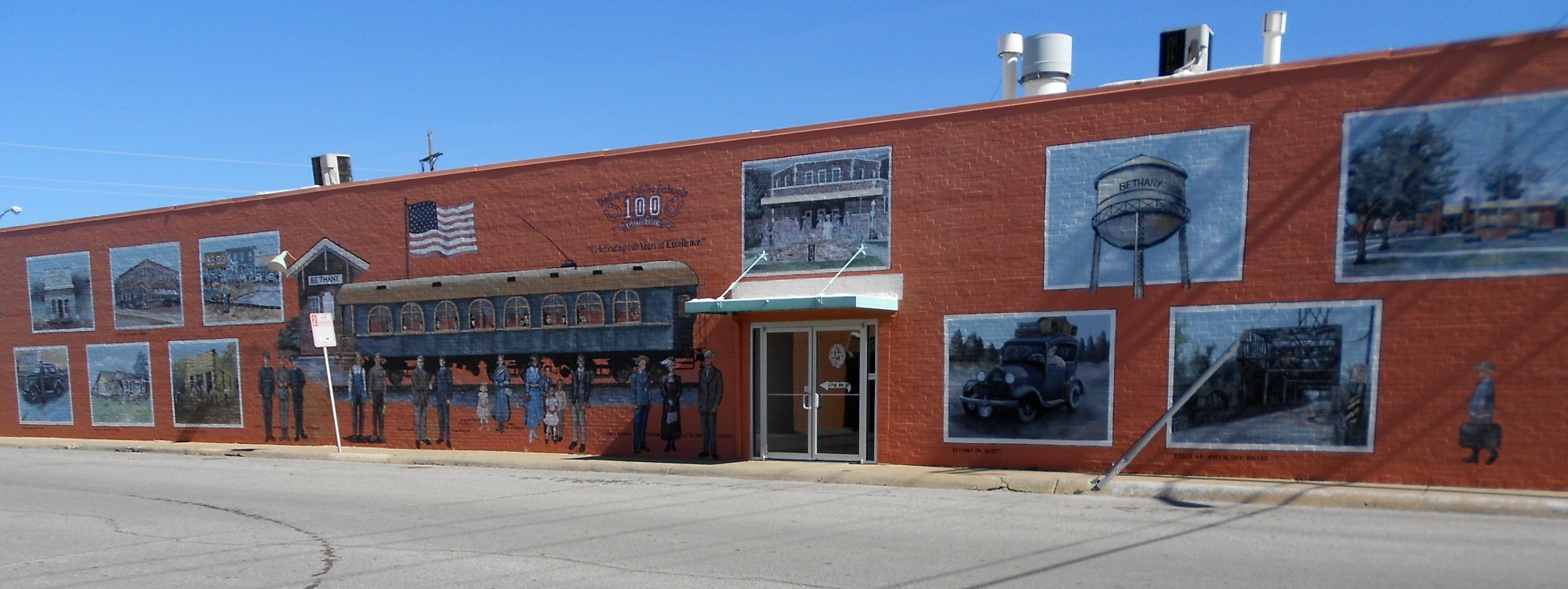 Just a short ways past all that stuff was this nifty pizza place with a lovely mural on their western outer wall. I was now working my way back home, but decided to pass the source of the Deep Fork River, which was just a couple miles east of there.
![]() The image on your right here shows an unremarkable low spot on a ragged city street known as Ann Arbor, and we are looking north toward NW 39th Expressway. The storm drain on the left runs west and north toward Lake Hefner. The storm drain on the right runs off behind the apartments there and begins the Deep Fork River. The sign on the left side of the street notes all of this. There really isn’t much to see of the Deep Fork so long as it runs through this urbanized area. Most of it looks like this picture on the left
The image on your right here shows an unremarkable low spot on a ragged city street known as Ann Arbor, and we are looking north toward NW 39th Expressway. The storm drain on the left runs west and north toward Lake Hefner. The storm drain on the right runs off behind the apartments there and begins the Deep Fork River. The sign on the left side of the street notes all of this. There really isn’t much to see of the Deep Fork so long as it runs through this urbanized area. Most of it looks like this picture on the left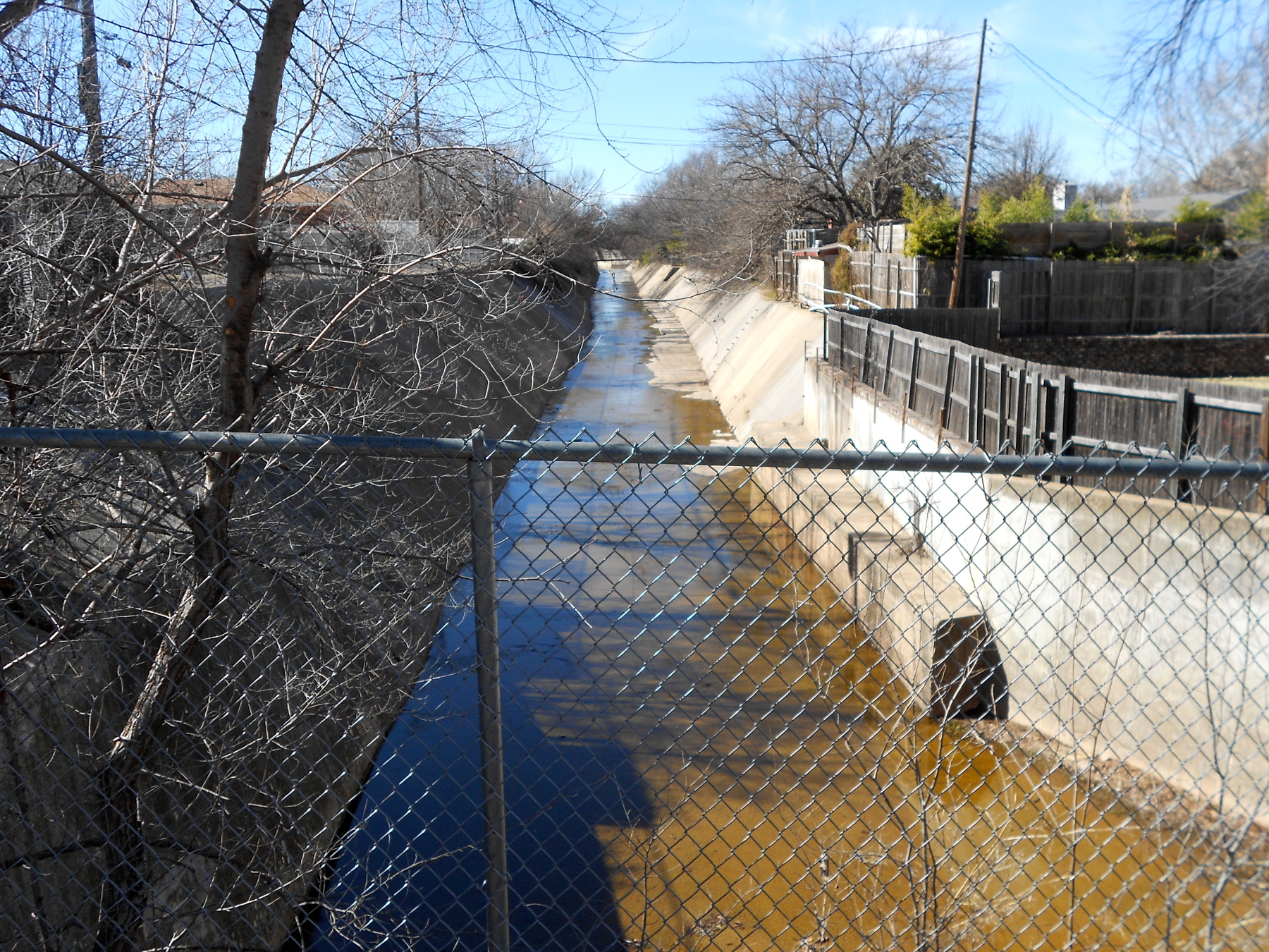 . About the only place it looks even remotely picturesque is where it crosses through Will Rogers Park, which straddles Interstate 44 between NW 23rd and 36th. I was riding along the latter and it was not a pretty view with all the Parks & Recreation maintenance facilities.
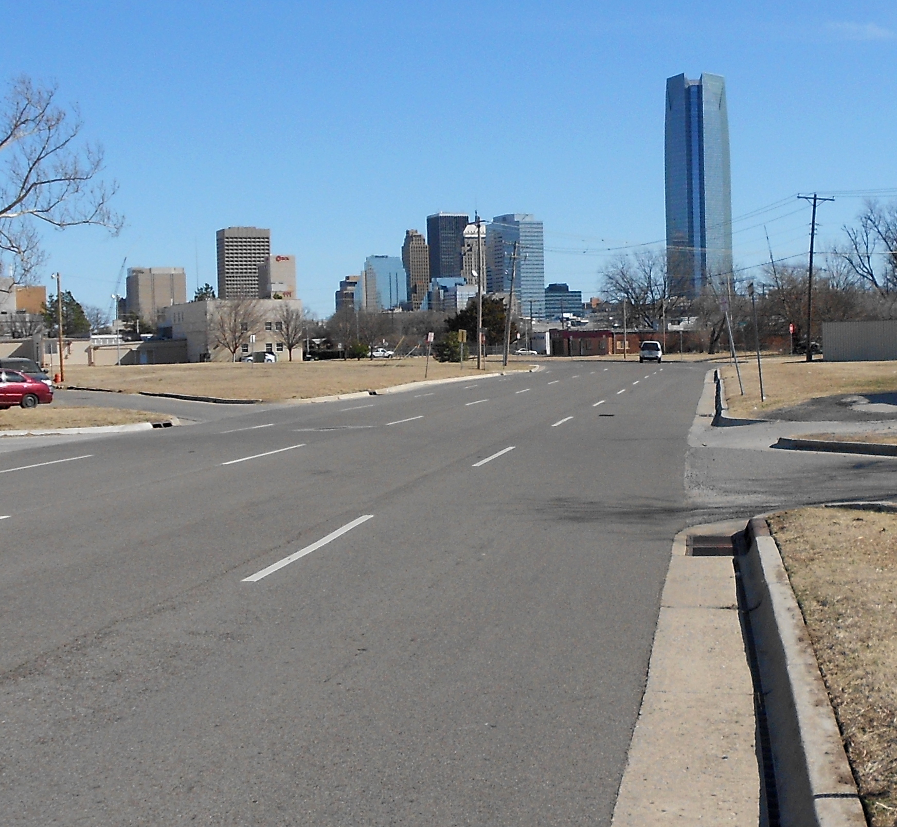
So I stayed on NW 36th to Drexel and headed south. Once across NW 23rd, I was on a series of curvy streets laid out way back when OKC had streetcars. A few lines still ran when I was quite young, but I think it all went away in the early 1960s. Still, we have these lovely divided curving streets (image right) that hand off to each other all the way downtown. This is also a good view of the Devon Tower against the rest of the OKC skyline. Downtown you get to see some of the expensive stuff the city leaders began doing two decades ago.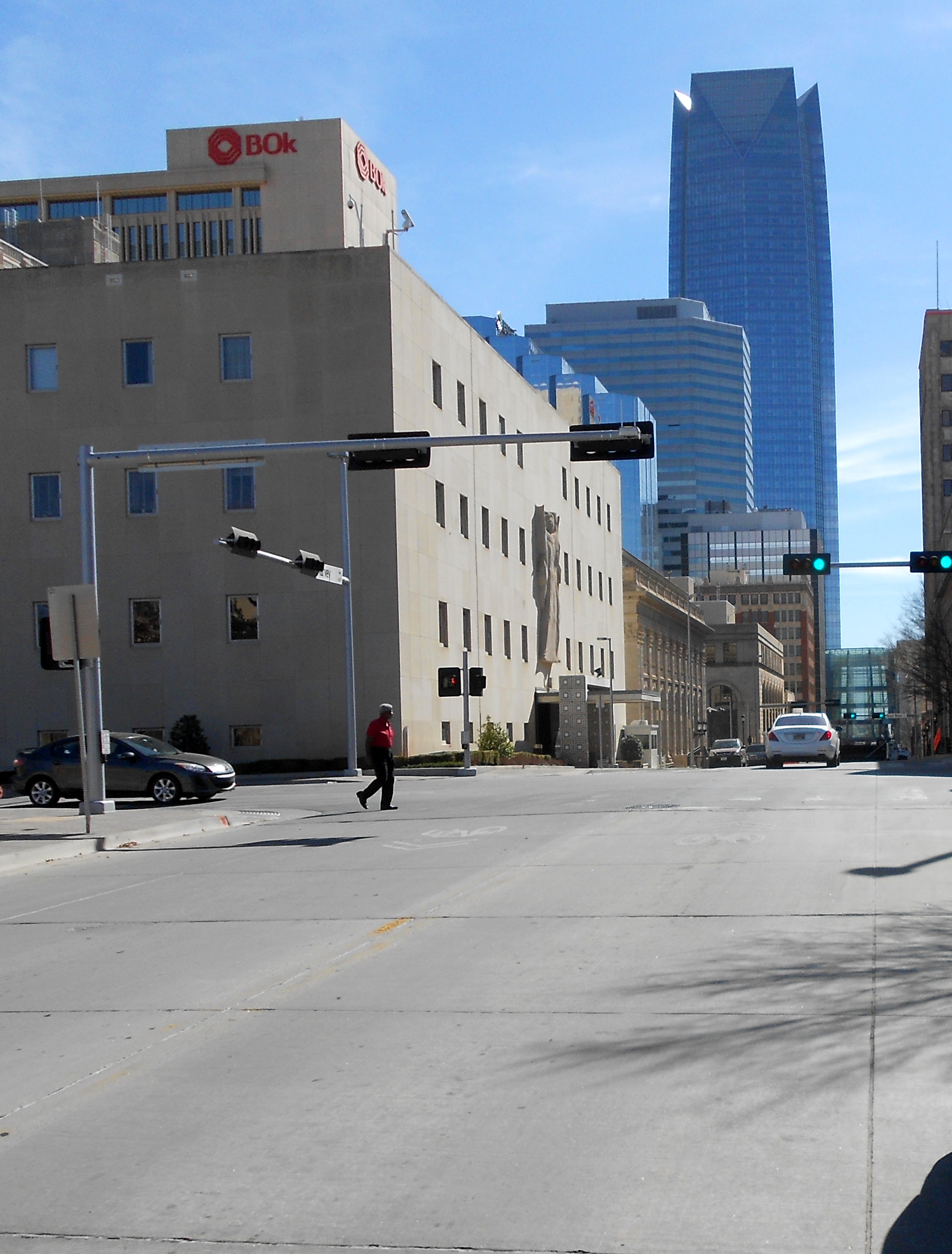 This is Harvey Avenue looking south across NW 4th Street. I’ve noted in the past this the 4th Street that takes me back across town to within a mile-and-a-half from home.
It was a decent workout as I tried to hold my maximum sustainable pace for long rides; aside from being longer than 30 miles, I am unable to estimate the actual distance for today.

