 Today’s goal was to test different routes to and from Lake Hefner. The images are combined from two different trips. On the first a couple of months ago I took the lower route around the dam and it was just okay until Hefner Road took me back into the housing area. From then on it was a little frustrating. Today I stayed up on the dam and went around the lake clockwise.
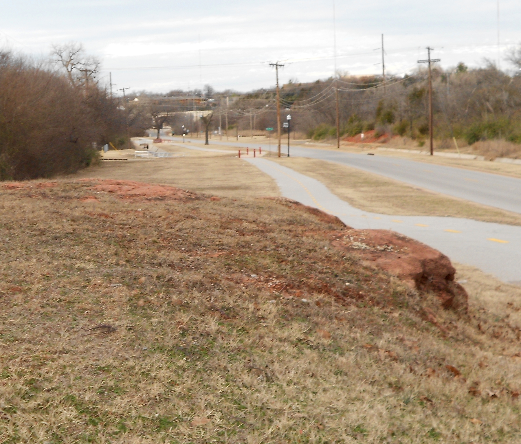
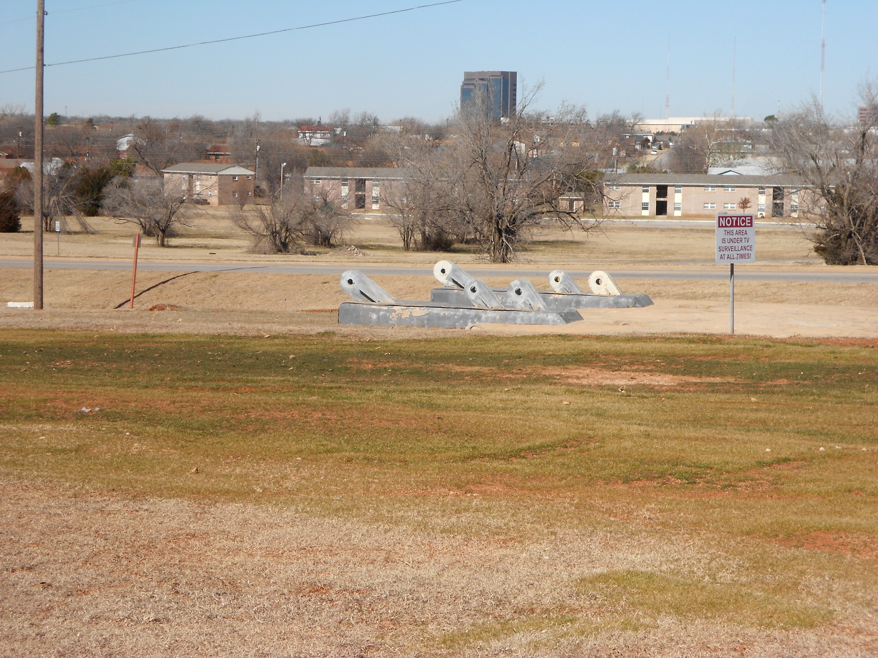 But the first leg of this was the Katy Trail. Up at the north end there is a rock outcropping that always calls my name when I pass by (image left). Sometimes I stop for a break, sit and pray out loud because it’s isolated. Where the bike trail ended I got out on Grand Boulevard and stayed on it to NE 63rd. Instead of turning left, I went straight across and followed a quiet back road that eventually dumped me out on Kelly near KWTV (Channel 9). I remembered to catch a shot of this old tower anchor; before they took it down that sucker stood 1600 feet (488m). Not a single one of the towers now standing has anchors anywhere near that massive.
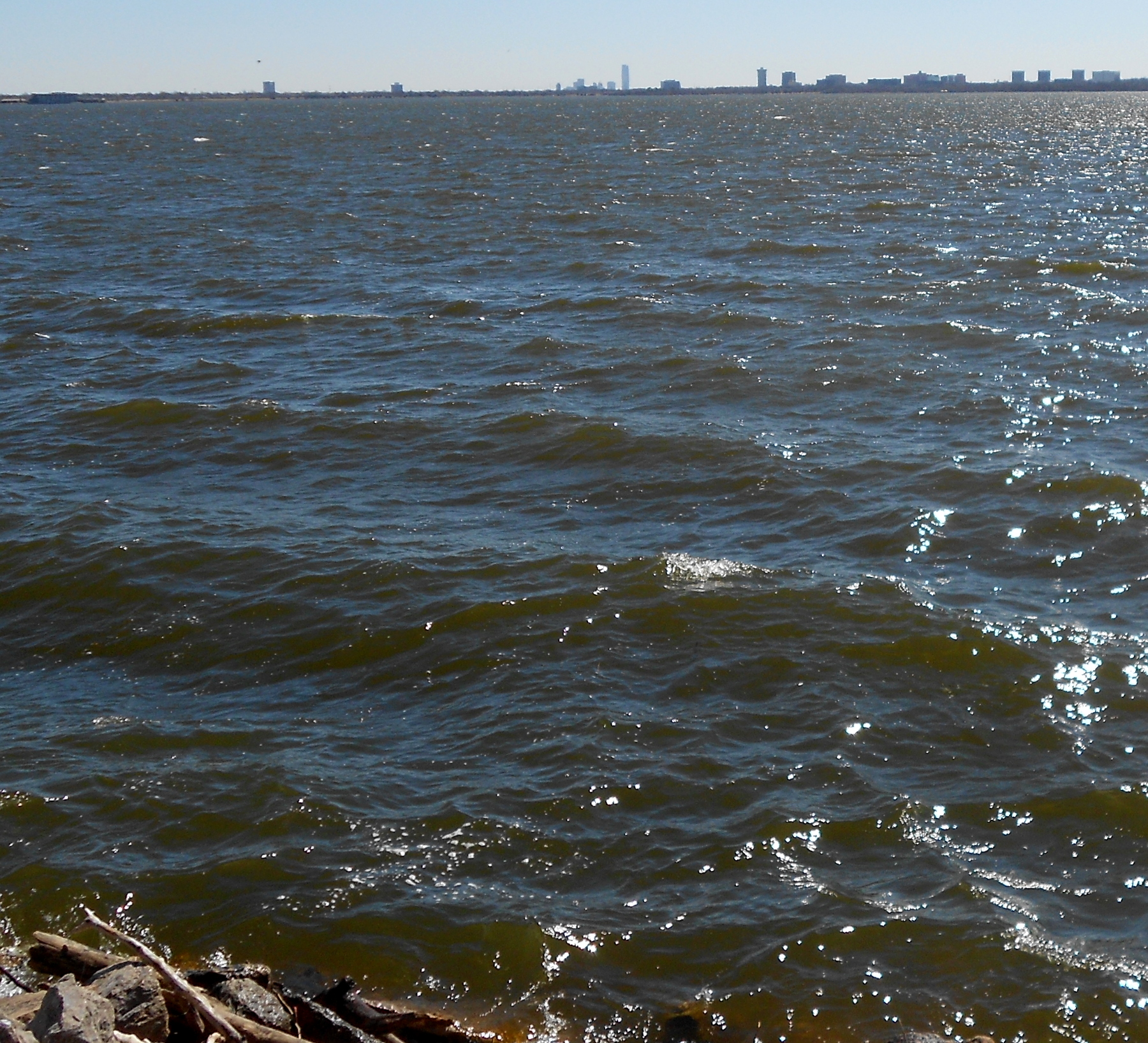 I headed west on Wilshire as my primary approach to the lake. It was far less busy than 63rd street, particularly in terms of trucks. The busiest spot was the intersection at Western Avenue where most cars waited to turn south, since the street narrows suddenly at the edge of Nichols Hills. That is a ritzy neighborhood that incorporated primarily so they could choke down the main roads and discourage through traffic. It works and I had a couple of quiet miles, then turned south and caught the last mile of Grand Boulevard to the lake entrance. To the left is a view across the lake back toward the city skyline to give you a scale of things. I stayed on the bike trail around the southern side, then up the west shore to where the dam begins in earnest.
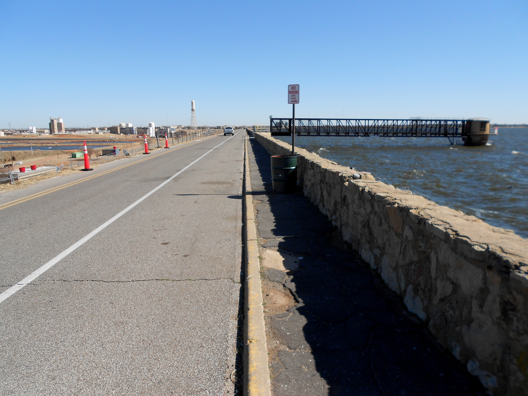 For cars it is one-way clockwise, but bikes and pedestrians are not limited. Something just over half the circumference of the lake looks like this.
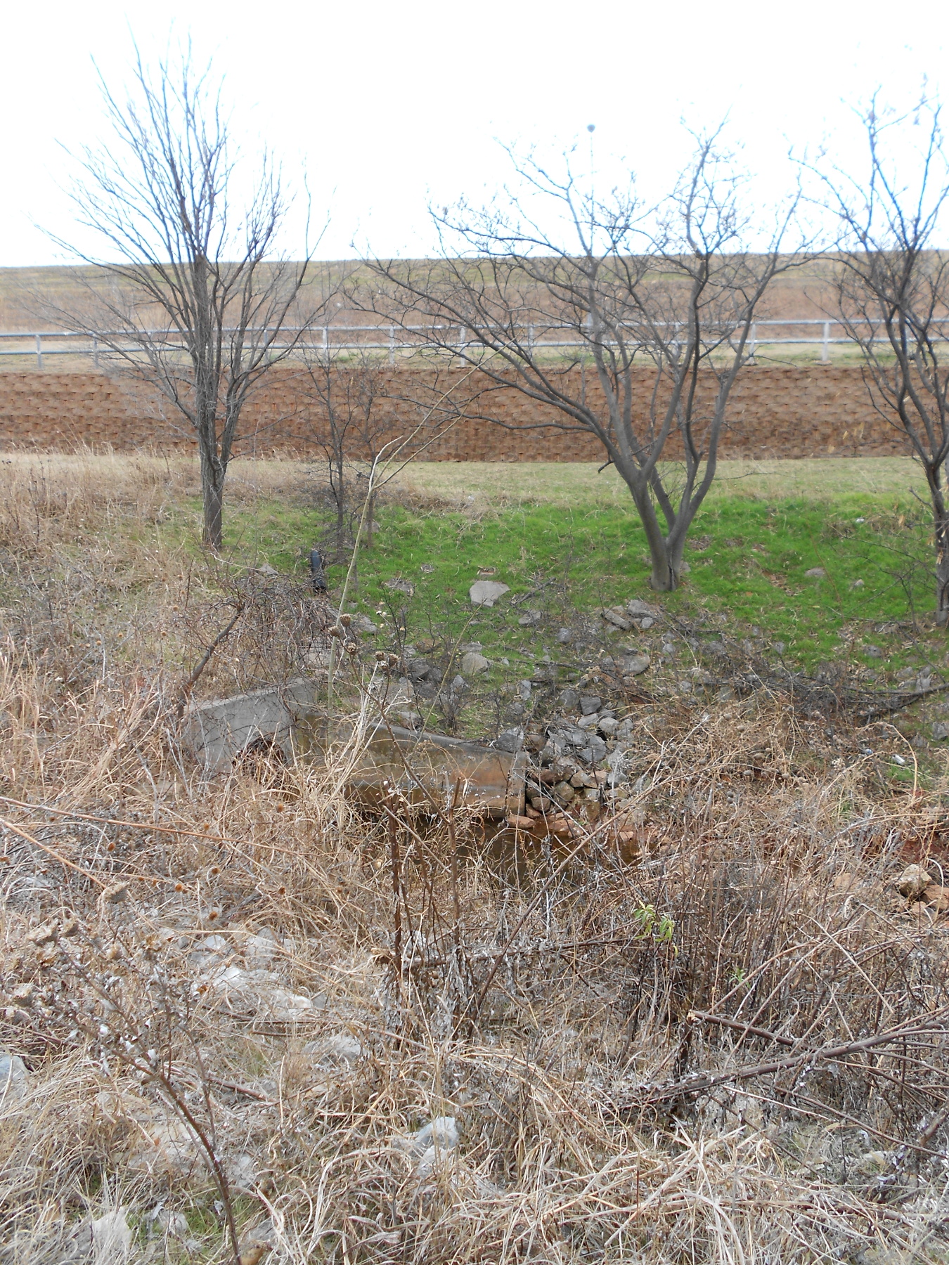 All this mass of earth captures Bluff Creek on its way to the Cimarron River quite some miles north of here. First I’ll show you the view from the bottom (left) and you can see it never was much of a water course. There are actually a couple of branches flowing down here on the valley floor, and off to the right of the image is a nice little park. However, the bike path runs past it, whereas all trails inside the park are pedestrian only. That’s common thing up around this part of the city.
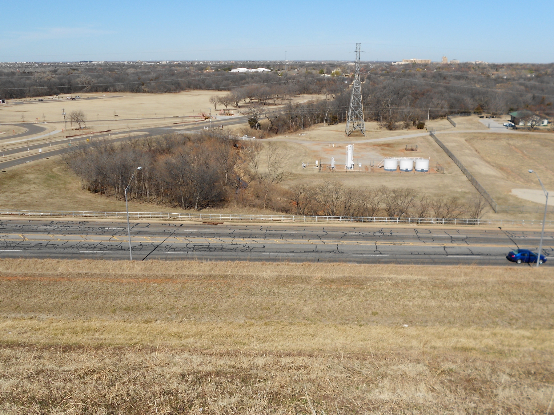 To the right is the same creek viewed from the top of the dam. A portion of the park is visible in the left background. Maybe in a couple more weeks the grass won’t be so brown; some areas I’ve passed are already turning that way. Around to the northeastern corner is a very extensive park area commonly used for para-sail surfing. Maybe that’s not the precise term for it, but the participants hang onto a chute too small to lift them easily, connect to a tether on the shore, then allow the wind to drag them out onto the water and sort of side-slip back and forth on the water using something like a short surfboard. The angle would have forced me to shot into the sun if I wanted to be close enough to see anything, so you’ll just have to use your imagination.
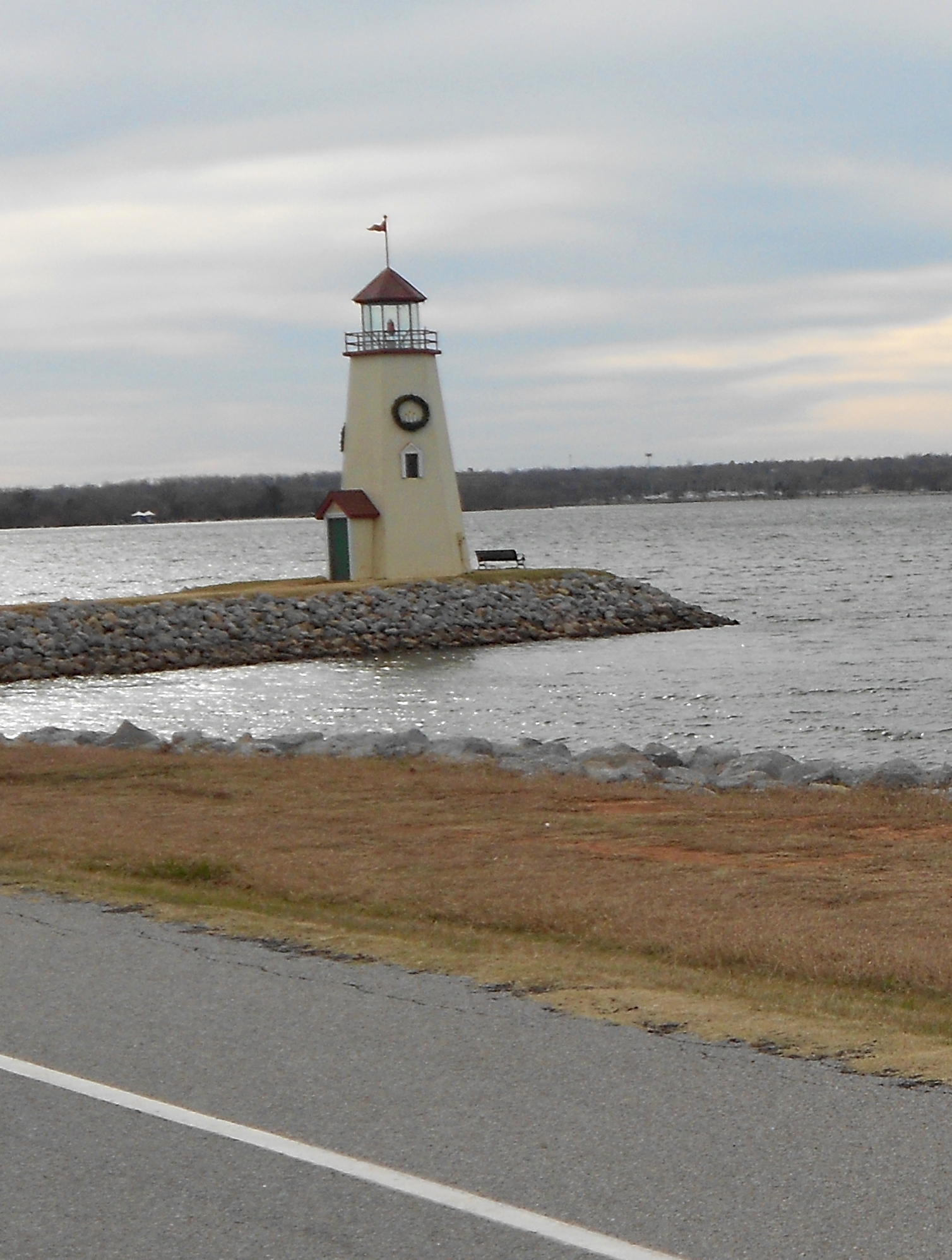 This time I rolled on down the east shore to the entrance at the end of Britton Road. The little lighthouse is purely decoration, standing on a spit of land artificially laid just for the purpose. Clustered around it on the shore are four or five obscenely expensive restaurants. Dodging around them I tried out Britton Road and decided it was too rough and too busy, just like 63rd Street. Coming from the west side, it looks Wilshire will be the preferred approach to Hefner in the future. I stayed on Britton as far as Eastern Avenue and headed south to pick up the Katy Trail again just past Remington Park. Nice hard ride today.

