
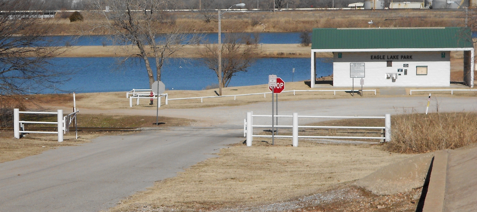
 Today was a bit warmer than we’ve seen in quite some time. I rode out from the apartment west on Reno almost to the Dallas Junction, then turned right down into the Eagle Lake Park. On the left is what you might see turning off Reno northward and down toward the river bed. Eagle Lake is a gussied-up former sand and gravel quarry. There is a Jeep trail that runs off to the left and continues the length of the south shore of the lake. There is joins the Eagle Lake Trail, the pavement starting abruptly at the treeline.
Here on the right you can see the bridge over Crooked Oak Creek. The trail runs up along the trees, turns left over the creek across the bridge, then does a loop around and under to come up parallel to the North Canadian River. This runs along through an old off-road area and then around and under Eastern Avenue right off the south bank of the river. Where it come out the other side, I typically turn right up onto the landscaped space for the Indian Heritage Center.![]() To the left you can see it, sitting in all it’s unfinished glory. The rugged dirt road continues along the river bank where the timer towers stand along the rowing competition area.
To the left you can see it, sitting in all it’s unfinished glory. The rugged dirt road continues along the river bank where the timer towers stand along the rowing competition area.
Crossing under Interstate 35 puts me out on the trail proper. Today was nothing new and I rode all the way across the Metro to the Meridian Avenue bridge. Having come through here the opposite direction some months ago on that 40+ mile ride, it’s still not ready for prime-time.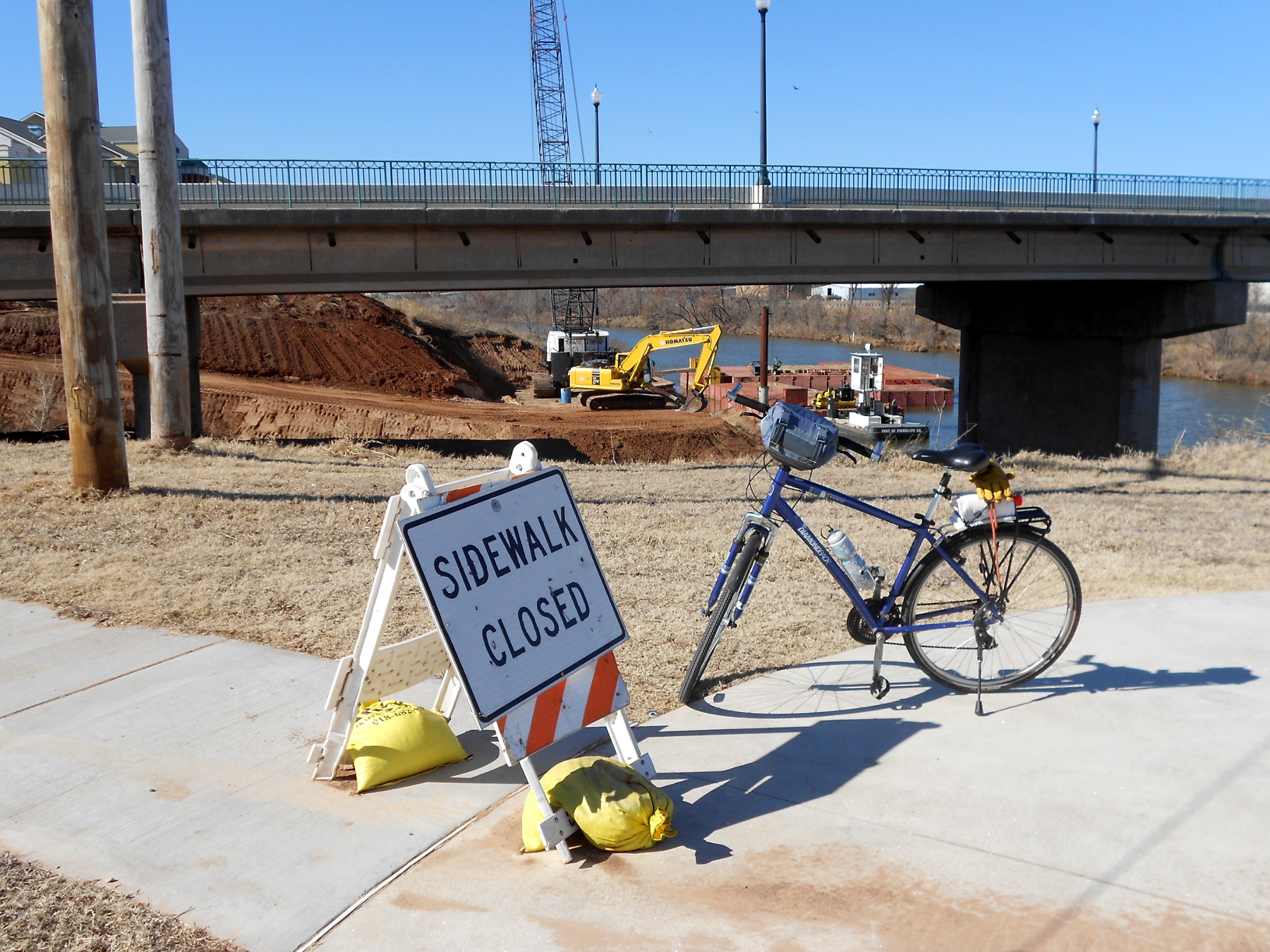 The sign about the sidewalk refers to the part that runs off to the left and is supposed to connect to one that is not yet completed on the bridge. If you look closely, you can see concrete barriers dividing the bridge lengthwise. I turned around and headed back a mile to the Portland Avenue crossing.
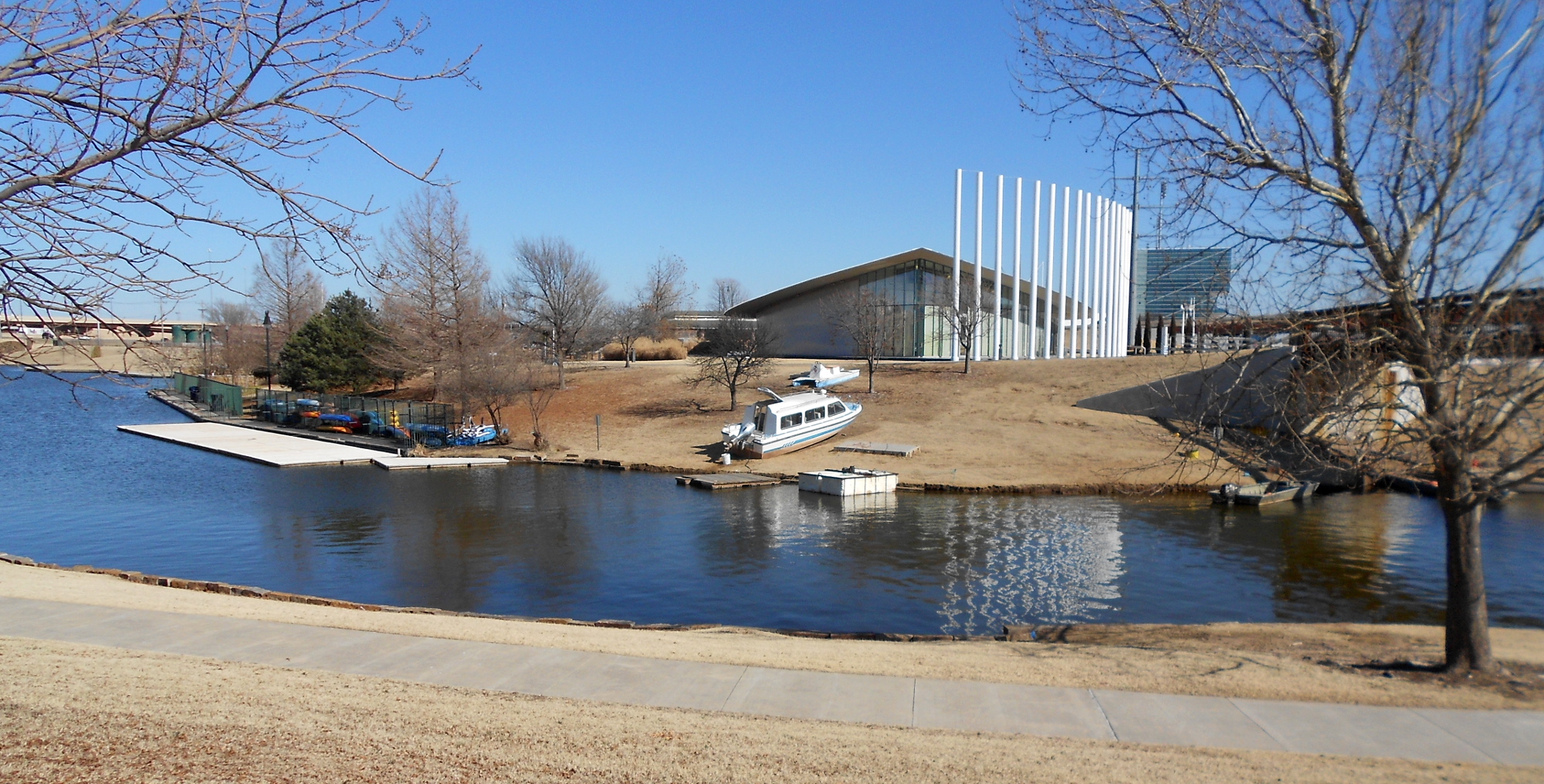 There I looped around and got onto the trail following the north bank of the river. It ends at Chesapeake Boathouse (image left). I decided not to ride across bridge over the artificial bay pictured here because it still ends in pretty much the same place. It runs along and under Interstate 40. The other side is the passenger dock.
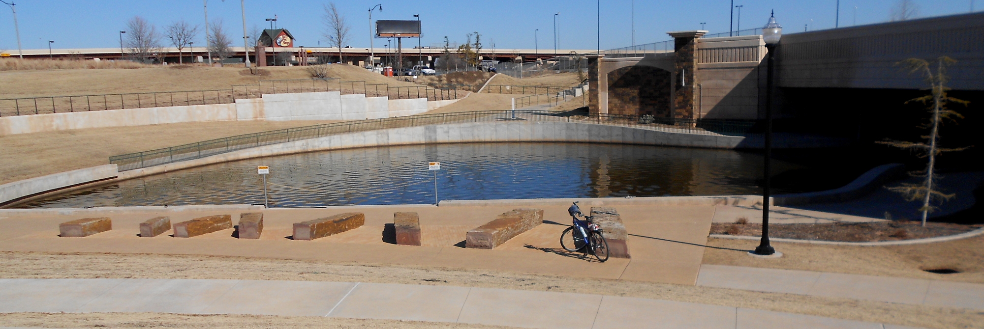 During warmer months you can make your way down to this little pool on the southern edge of Bricktown and take a ride up and down the river. On the far side of the image you can see a wide concrete multi-use path running up to the parking lot that connects to a very large parking lot (free most of the time) in front of the monster Outdoor Sports store. From there I followed the driveway out and across Reno. There was some construction just a couple of blocks north, so I worked my way around to go north to NW 4th. From there it was a straight shot back to my side of town.