
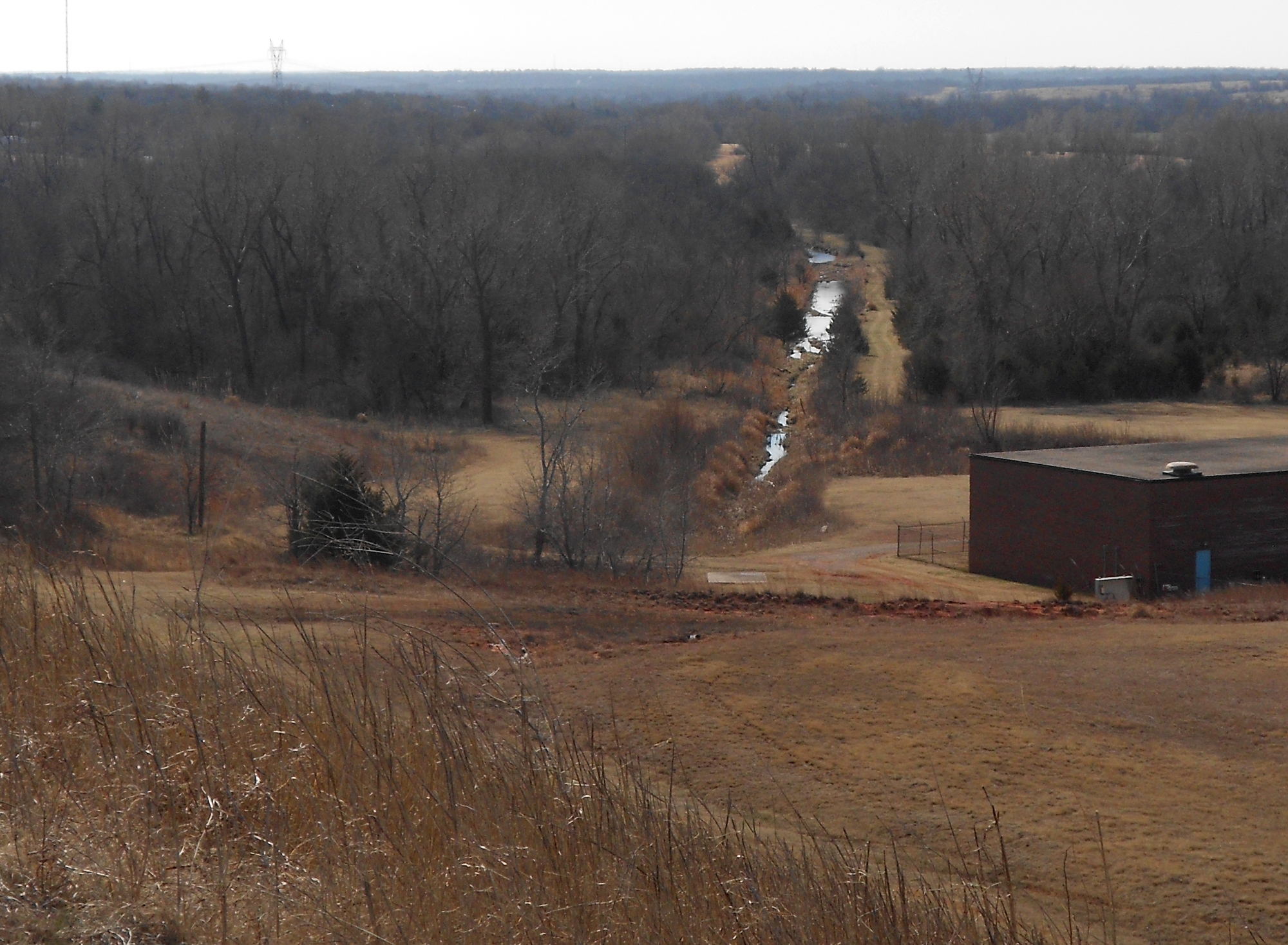
 Yesterday I rode out to Draper Lake. To make it interesting, I did some research on the proposed West Elm Creek Reservoir and tried to capture part of it in pictures. The context is this: Draper Lake captures East Elm Creek. The image on the right is a view of that creek from the dam. West Elm Creek is less than a mile off to the west of Draper Lake. My poor little camera struggles to capture the perspective, but that branch begins just off the bike trail built alongside I-240 out by the old GM Plant. (Consult your favorite mapping service and look south of Tinker AFB to the southeast of OKC.)
![]()
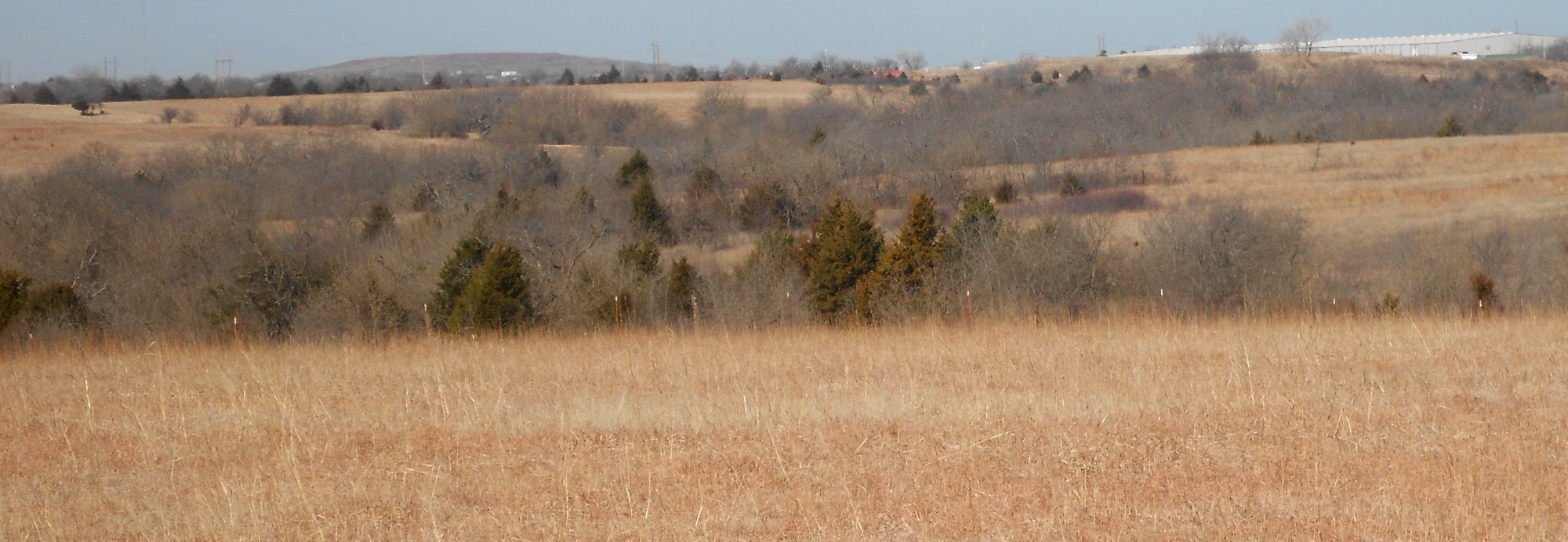 Here is a collection of wide angle shots I took from inside the Draper Lake recreational area.
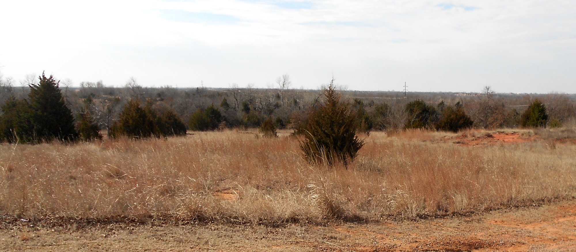 This land is not yet purchased, but the officials and supporters have been talking about this quite publicly for at least three decades. If they dam this thing as proposed, it will create a second body of water roughly equivalent in acreage and volume to the current Draper Lake.
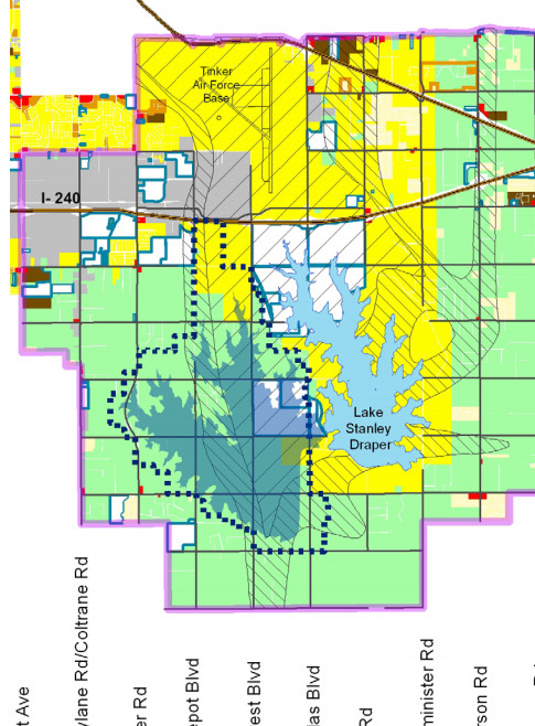 On the right is a screen capture of the map offered in public documents.
 The faded bluish blot on the left is about what they expect this thing to cover, and the dotted outline is the land they’ll purchase for it. If you have time to waste, you can examine the details and see that the two lakes will merge under a section of existing road on the southwest corner of Draper. The image on the left is facing north, so the lake is on the right and the proposed lake would be on the left. I assume they would dig it out, merge the water and put it back as a bridge.
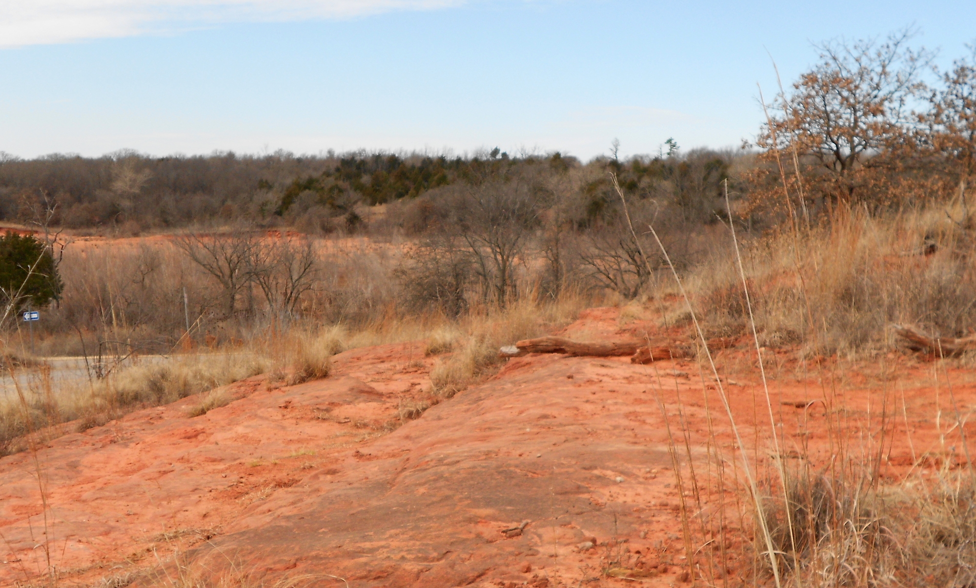
 The current Draper dam would be extended westward and around the access roads currently used for the massive water control and purification buildings I showed here on previous posts about Draper Lake. Again, consult your favorite mapping service to see where they are now. The image to the right captures a natural ridge already used as part of the Draper Dam, and the drawings indicate it would simply be extended off to the left in the picture.
The other item of note is that the proposed map shows that Stella Road/SE 149th would be cut off entirely as the new dam and lake would run south parallel to Douglas Boulevard for quite some distance. I’ve been out there in the past and the dam would run into a high ridge that runs across Douglas.
 Finally, I’m throwing in this gratuitous shot of the upper East Elm Creek area on the lake taken from a high ridge. What you don’t see in the image is how steeply it drops off if you were to walk straight forward. The ring road around Draper runs down through through swampland and is easily the most ragged and worn out section of the road because the water table in wet season runs over the road frequently. This shot was taken at the worst part of the dry season. One of the odd effects of the unprecedented El Nino effect this year has been a relatively warm and dry winter. However, if predictions run true, last spring’s floods were nothing compared to what we’ll have soon.