
Today’s ride was simple and already well covered in previous photos; just search for Harrah” on my blog and you’ll see them. I suppose it was little more than nostalgia that drove me to pedal all that way east again. This was a 36-mile round trip. Straight east on Reno to Dobbs Road, a mile north the NE 10th, about a half-mile to Harrah’s bike path, north to Highway 62 and across the bridge on Harrah Road. I kept going north to NE 50th and started working my way back.
My sinuses told me what I didn’t at all miss about living out in eastern OK County. I was hit by a heavy dose of allergens starting about five miles out from the apartment. It’s funny how I run into them about Westminster Road but experience nothing like that west of there. At any rate, I rode over the ridgeline on NE 50th past the Wind Drift peach orchard and back down into the North Canadian Valley at Triple X.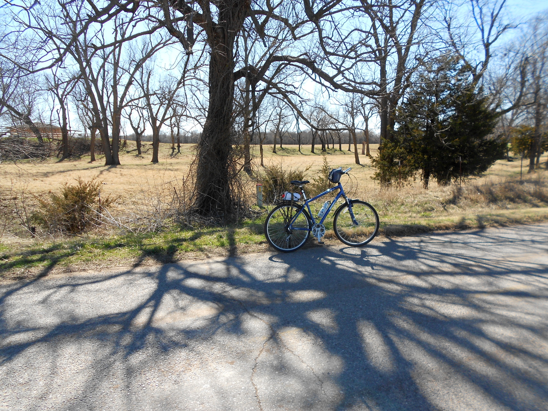 While the barriers have been moved around a bit, the officials have not reopened Triple X between the bridge and NE 36th because they’ve never gotten federal permission to restore the river banks. Thus, that margin between Triple X and river bank is still only about six feet. However, the local traffic bypassing the barriers has really packed down a nice solid dirt road. Just past the last barriers I stopped in a shady spot just off Triple X on NE 36th.
 Passing along through the backside of Choctaw’s main residential area, I spotted this vintage water tower. How’d you like to have something like that in your back yard?
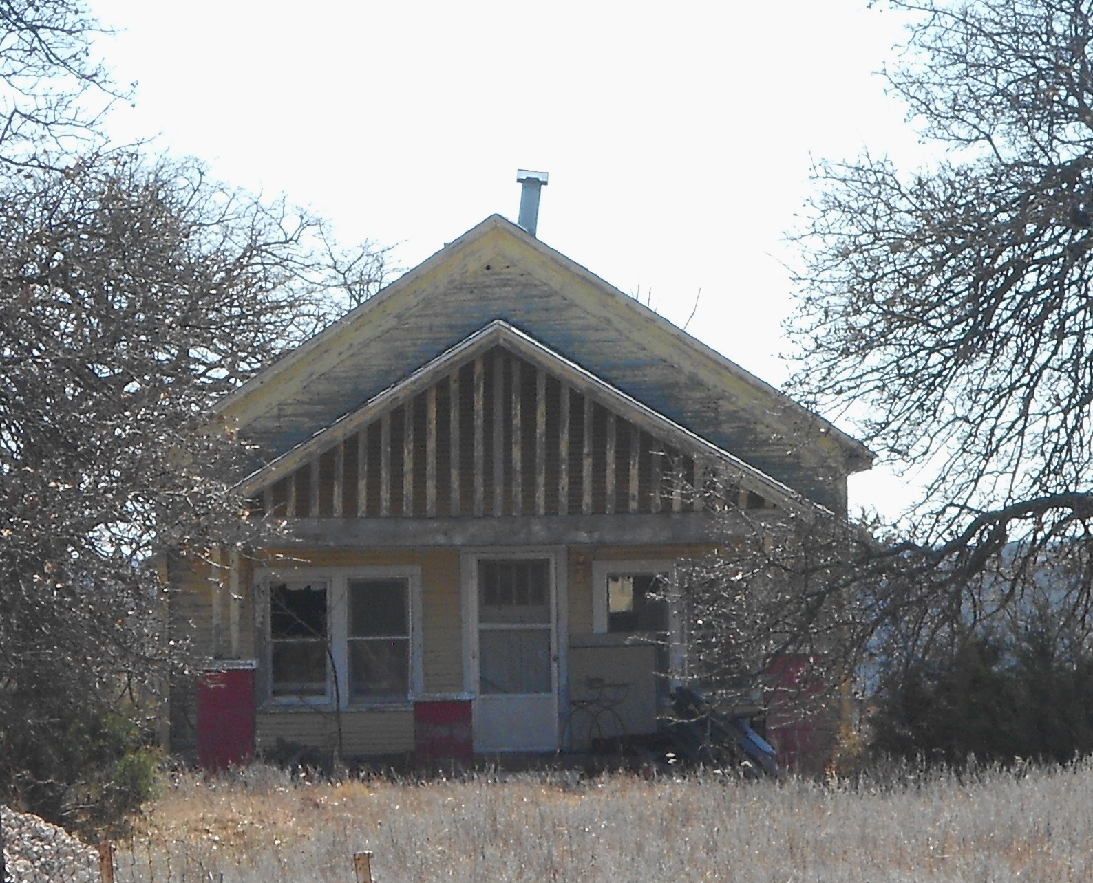 I decided to stay on NE 36th all the way back to Midwest Boulevard. Along the way I spotted this old house. It was back off the road a bit and I had to shoot facing into the sun. The address was still visible on a small sign attached to the fence. From there, once I crossed Hiwasee Road I was in the old Dunjee neighborhood. They once had a very nice school, but now it’s just an abandoned building still visible from quite a distance as it sits on the highest spot of land out there. There was a time this was a rowdy and somewhat dangerous area, but I hardly saw anyone at all. A couple of miles on a noticed a bunch of .25 caliber brass lying in the intersection, but I can’t find any police reports to explain it. Mostly it was just a quiet hilly route all the way back through Spencer.
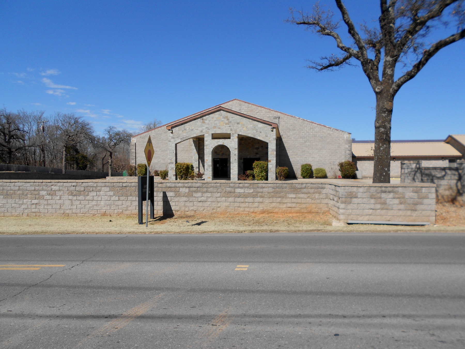 I had almost forgotten the fancy stone-fronted Gospel Tabernacle there next to Douglas Boulevard. There isn’t a lot of public information about it, but I understand that it’s essentially some kind of
 Seventh Day Pentecostal outfit. There were some ugly rumors about it back in the 1970s before they built this. There was an older and smaller local stone church house with a very large trailer park out back. The trailer park is still there, but now almost entirely hidden behind the church house. It was alleged in the old days that the “full members” lived in the trailers and turned over their income to the church. They got back a fairly low living expense and ate communally, etc. At some point in the 1980s it was all alleged to have changed and become more conventional. The staff kept an active Facebook page briefly a couple of years ago, but that’s quiescent now.
What most people don’t seem to understand is that a historian is just as interested in the false rumors as the actual facts. What everyone believes still has an effect on human behavior. Does that not explain how messed up Western Civilization is?