
 As always, click on any image to see it full-sized. CTRL-click will open the image in a separate browser tab.
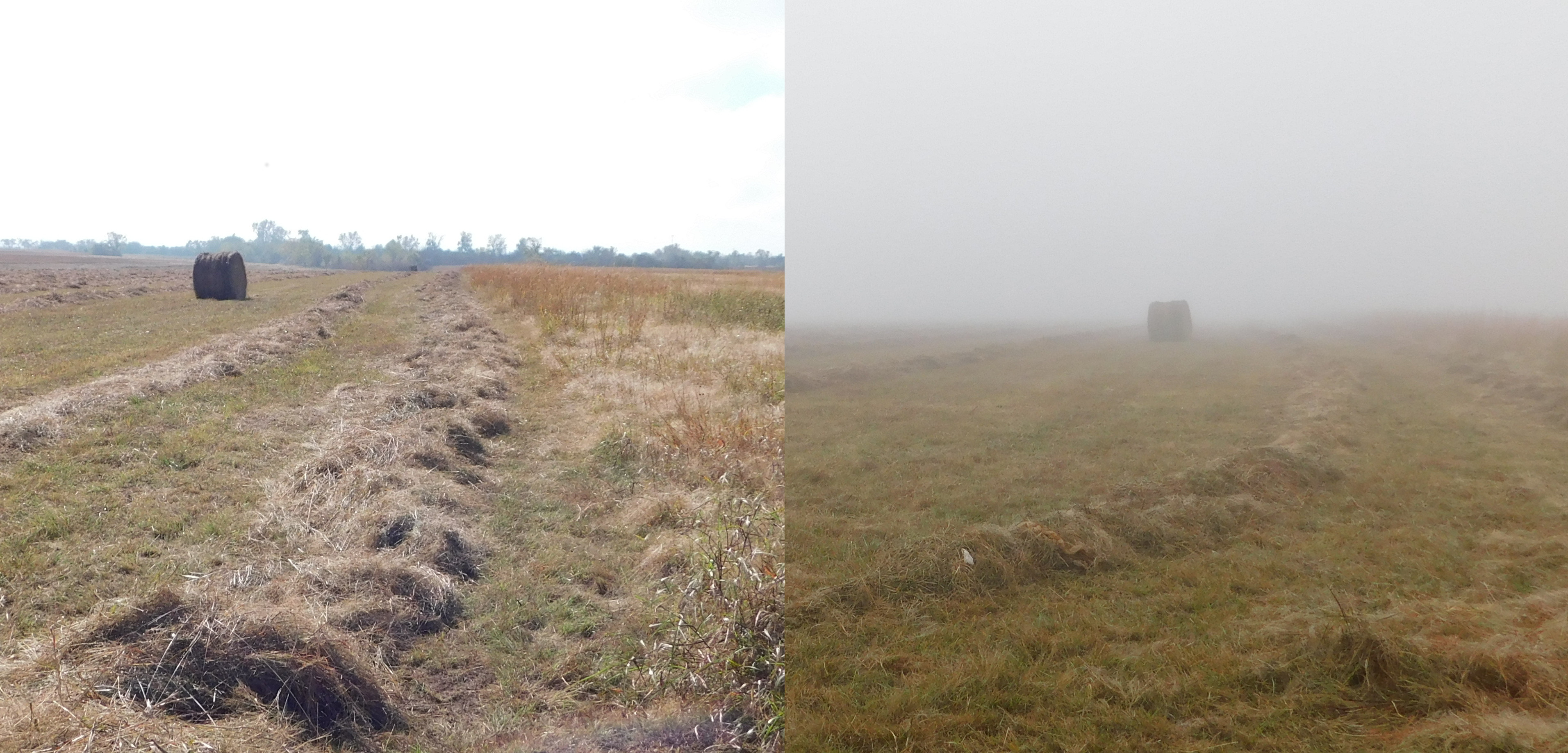
 It was a foggy morning, tough on landscape photography. This first image is two shots taken from roughly the same spot; right is about 10 AM and the left is about noon. This is just west of Draper Lake, which would be one of the last places to clear up. We’ll come back to this scene.
 Back before the collision in April, I felt compelled to survey West Elm Creek because I sensed that the long-planned process of damming it and creating a twin reservoir west of Draper (East Elm Creek Reservoir) was rather near at hand. The long ride that day didn’t show me much of the West Elm, so I have been looking at different mapping services. Recently I was researching the Parks and Recreation regulations about riding off road out around the lake and discovered that I could get a couple more shots of West Elm Creek without the permit.
 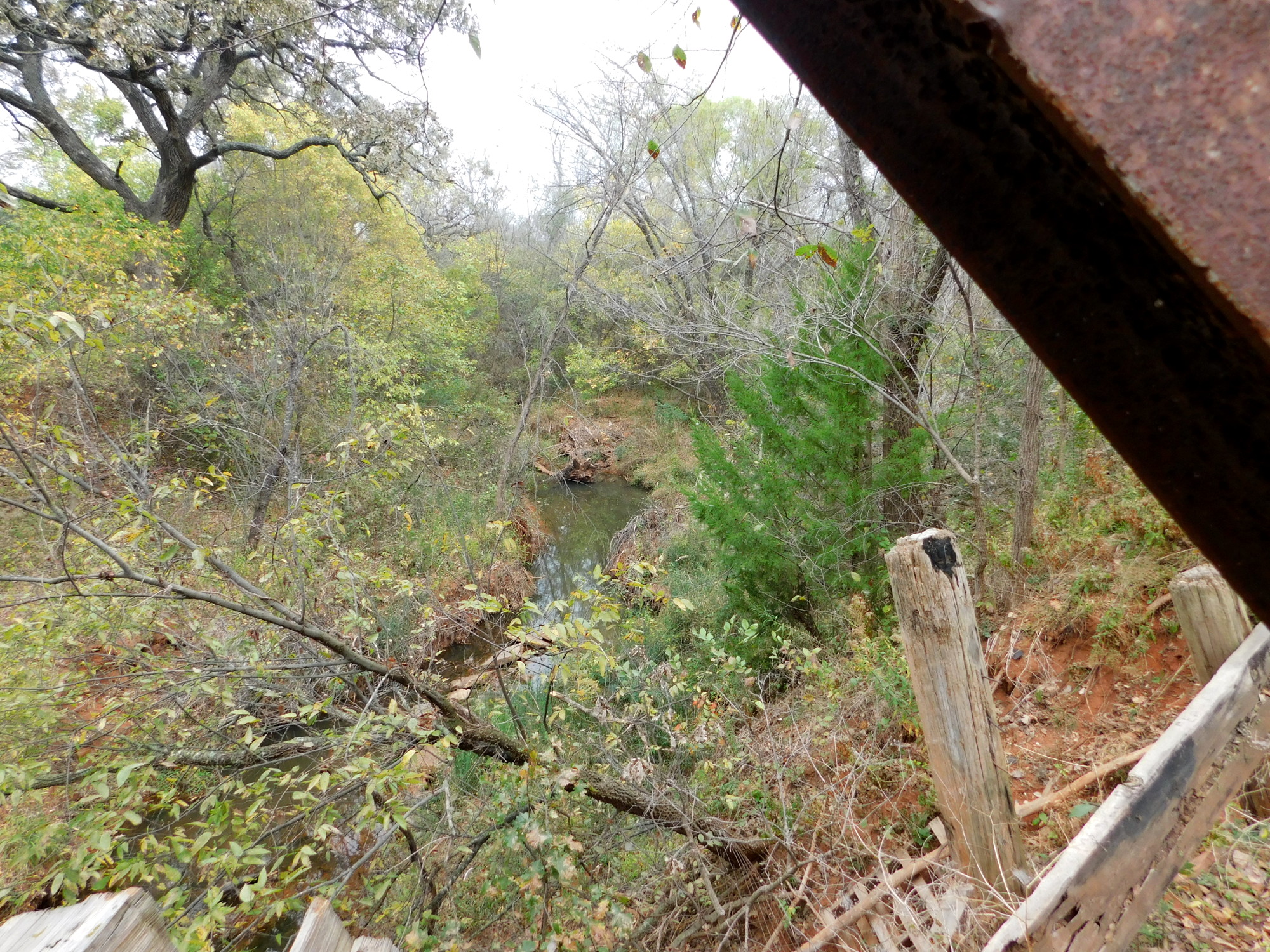 After installing Google Earth for Linux (works well on Mint 18), I got a good look at the terrain and saw that Midwest Boulevard extends all the way down to SE 119th, because people were still living out there and the City hadn’t bought them out yet.
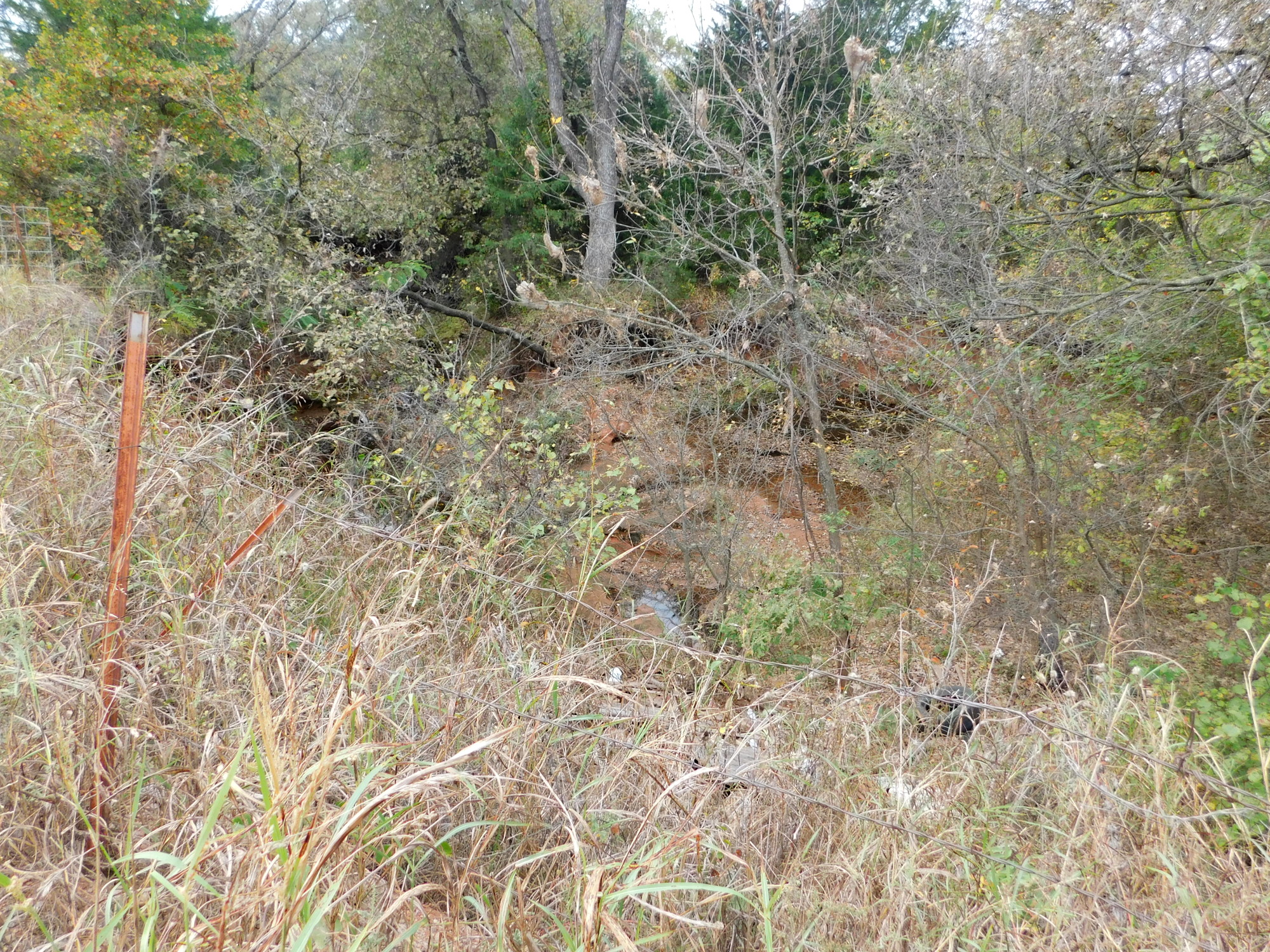
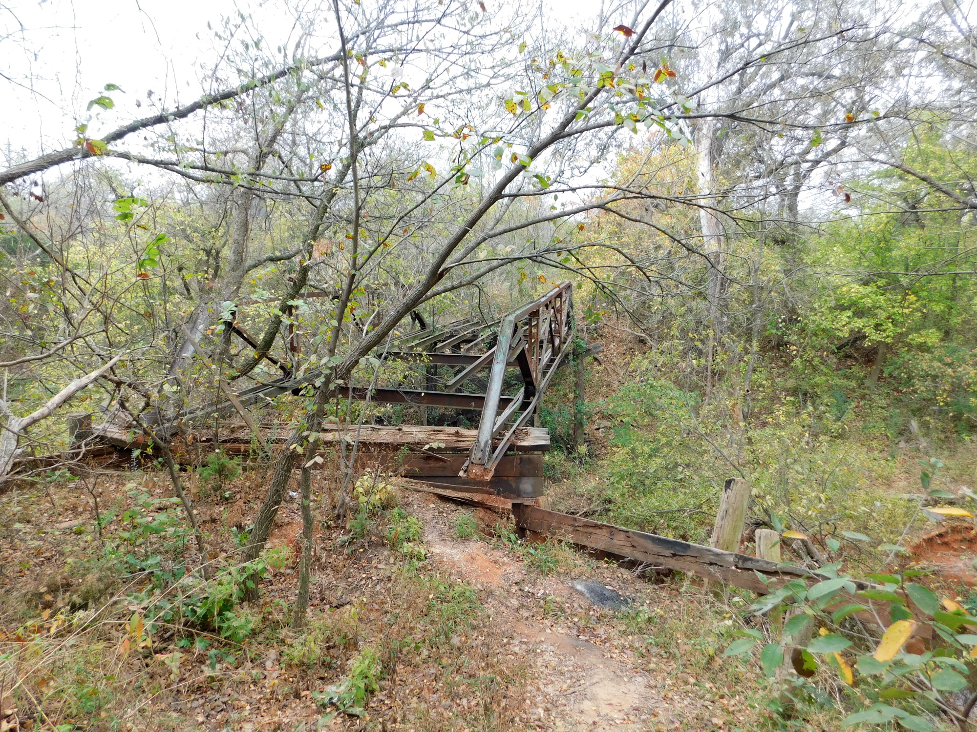
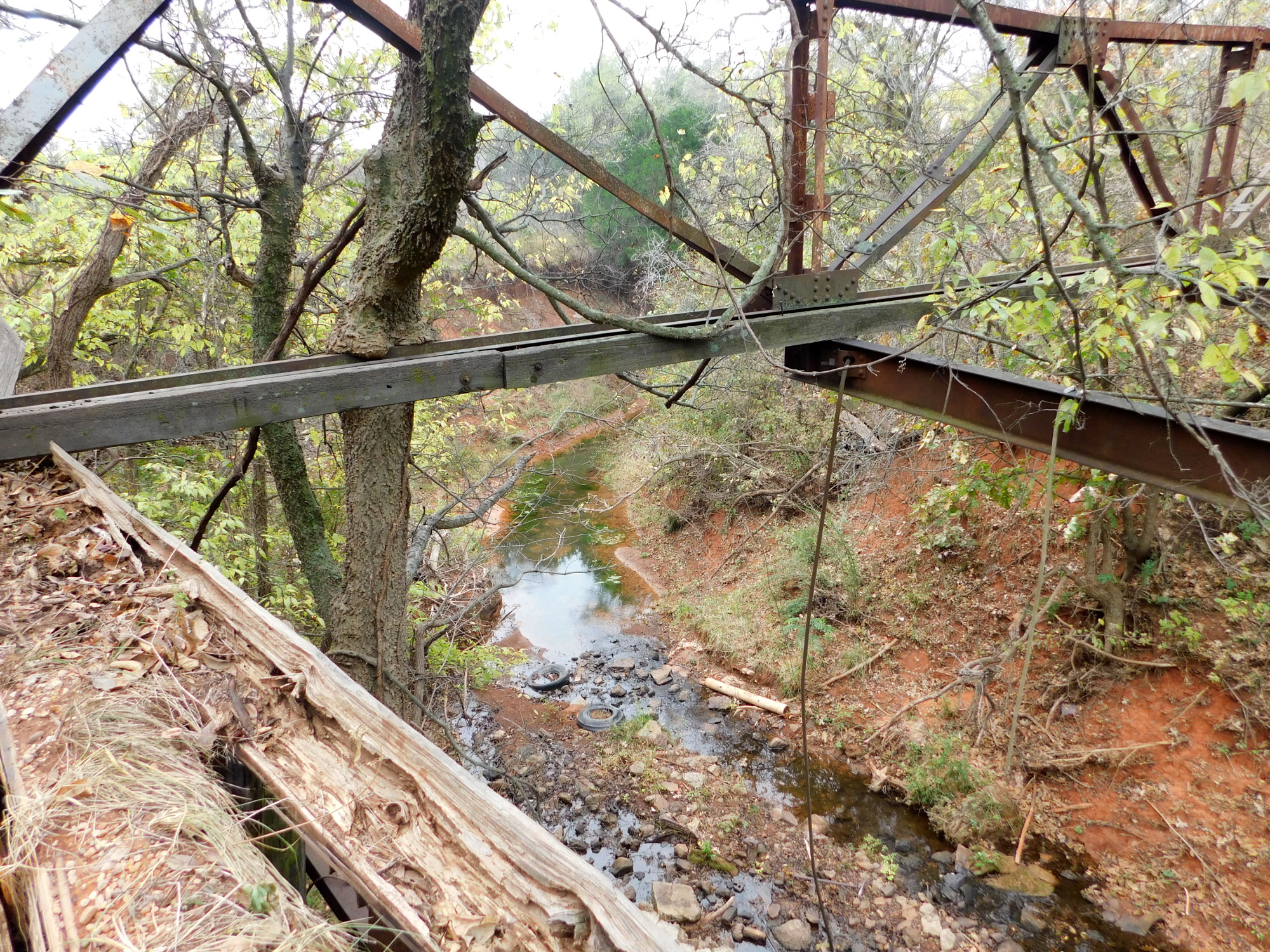 At this point, just a couple of miles from the source, the creek was a deep gouge. It’s hard to see through the grass at the roadside (2nd image above), but down where both Midwest Boulevard and SE 119th end, there remains the frame of an old bridge where SE 119th once went through (3rd image). From the end of the bridge I got a couple of nice shots indicating that the creek is very deep and runs even during this near drought season. Above right is upstream, and left is downstream.
 This area along Interestate 240 west of Draper Lake is a peak watershed between the Little River Basin to the south and the North Canadian River Basin to the north. Mapping the peak would run at an angle through Tinker AFB and then turns west across the countryside toward Moore, where it flattens and widens into the core of Tornado Alley, as noted in a previous post.
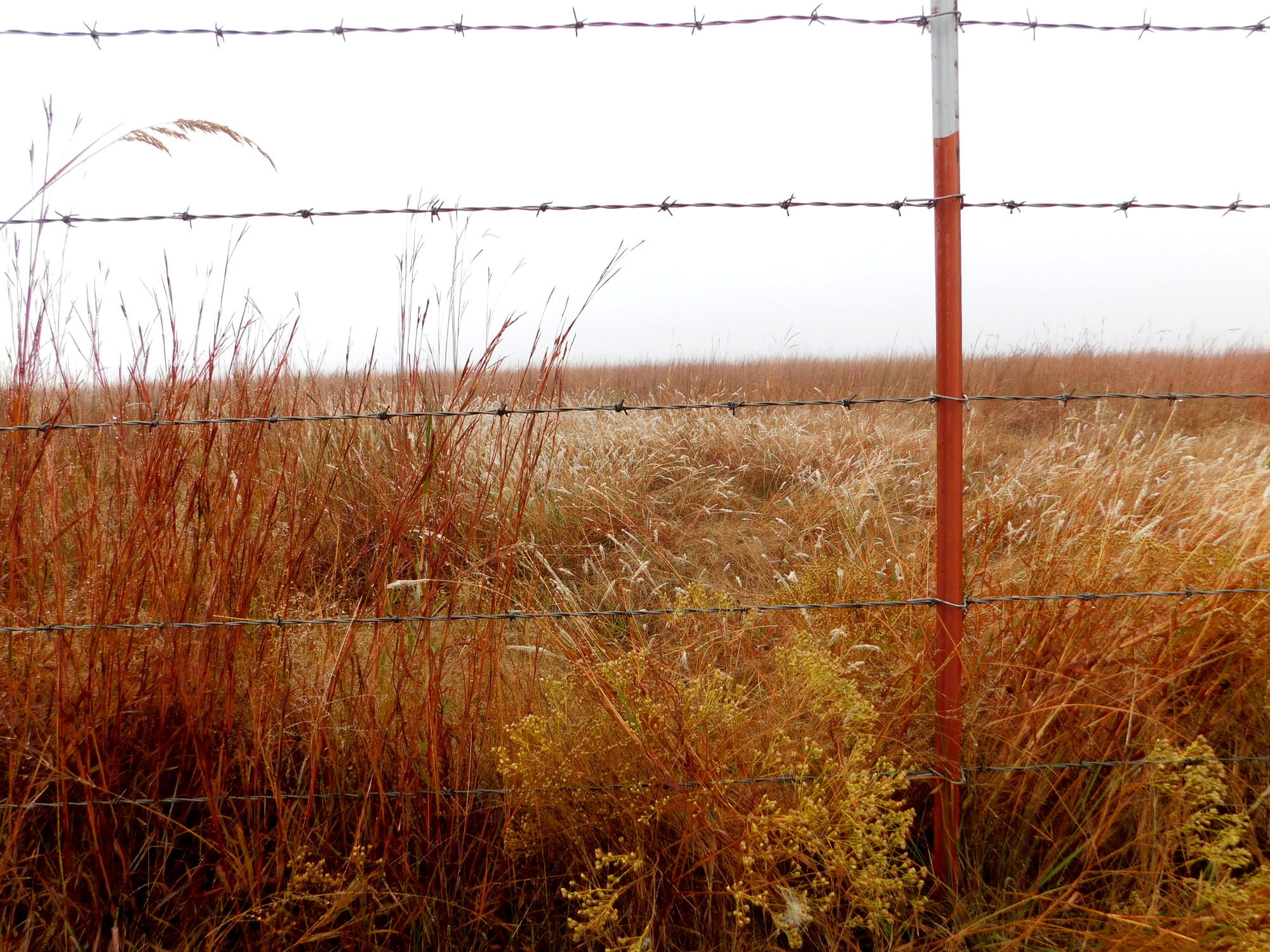
![]() Moore is actually on the southern slope heading down to the Little River, but it’s a very shallow descent for a long way south, and across a very wide swath of countryside. This whole area is mostly open with a medium grass prairie. I shot through the fence because the other side has never been mowed since I’ve been coming out here; that’s what it looks like naturally. That’s in contrast to the close cropped Draper Soccer Fields (above left). It was almost like riding on a road. Only the trees were left standing in a draw that drains into the West Elm Creek.
Moore is actually on the southern slope heading down to the Little River, but it’s a very shallow descent for a long way south, and across a very wide swath of countryside. This whole area is mostly open with a medium grass prairie. I shot through the fence because the other side has never been mowed since I’ve been coming out here; that’s what it looks like naturally. That’s in contrast to the close cropped Draper Soccer Fields (above left). It was almost like riding on a road. Only the trees were left standing in a draw that drains into the West Elm Creek.
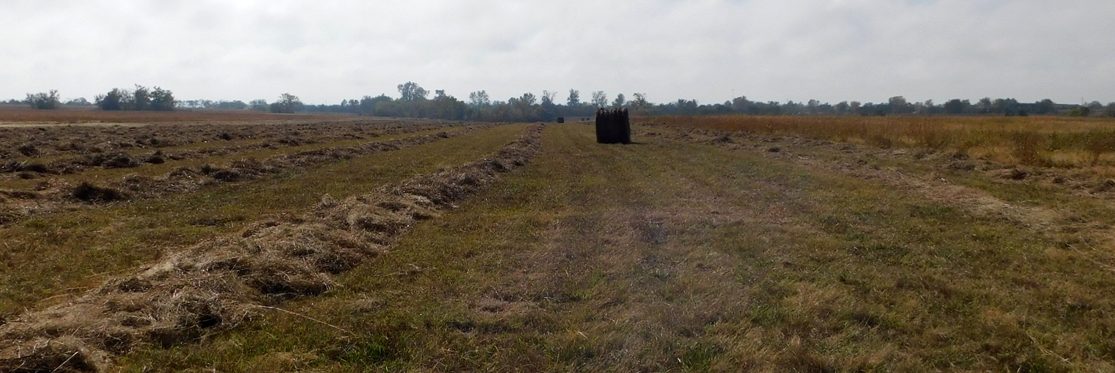 Finally, I need to correct something from the previous survey: The source of West Elm Creek is farther west than I had thought. It’s a part of that long high watershed peak. It starts just west of Air Depot (and the OKC Police gun range) and just south off the service road along I-240. In this last photo I’m looking south, which is downslope to a small pond ringed with trees. The camera didn’t pick up on the faint lowering between left and right, but it’s obvious to the naked eye. Directly behind me a sloped hollow runs north to create a tributary for Crutcho Creek.
Not a bad workout, but to access the source I had to spend more time on a busy roadway than I really like.
Your photos are looking really good these days…
Paul
Thank you, Sir. I’m learning, and no small thanks to you.