 As always, click on any image to see it full-sized. CTRL-click will open the image in a separate browser tab.
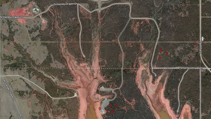
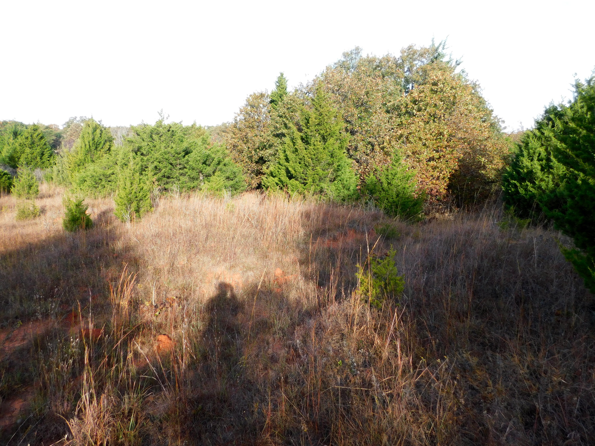 Today was long, not because of the distance I rode, but the time I spent tramping around in the woods after I got there. After reviewing the older satellite photos of the Draper Lake area, I discovered there were quite a few pockets that might be worth seeing if could get to them. I reached a few of them today, so refer to the satellite photo of the area posted above left. The dark red numbers match my photos in numerical order as posted here.
 My first attempt was pretty rough. I can tell you right now, I really need to wait until it’s cool enough that I stand to wear long pants for riding ten miles or more. My lower legs are a bit scratched up now.
 I rolled a ways down the power line clearing from Post Road and found a small meadow with tall grass disguising most of the open trails previous there. Keep in mind that most satellite images of Draper were taken years ago, not long after the policy was changed for ATVs. In decades past, it was wide open, but now it’s all restricted to that three-mile square out by the dam.
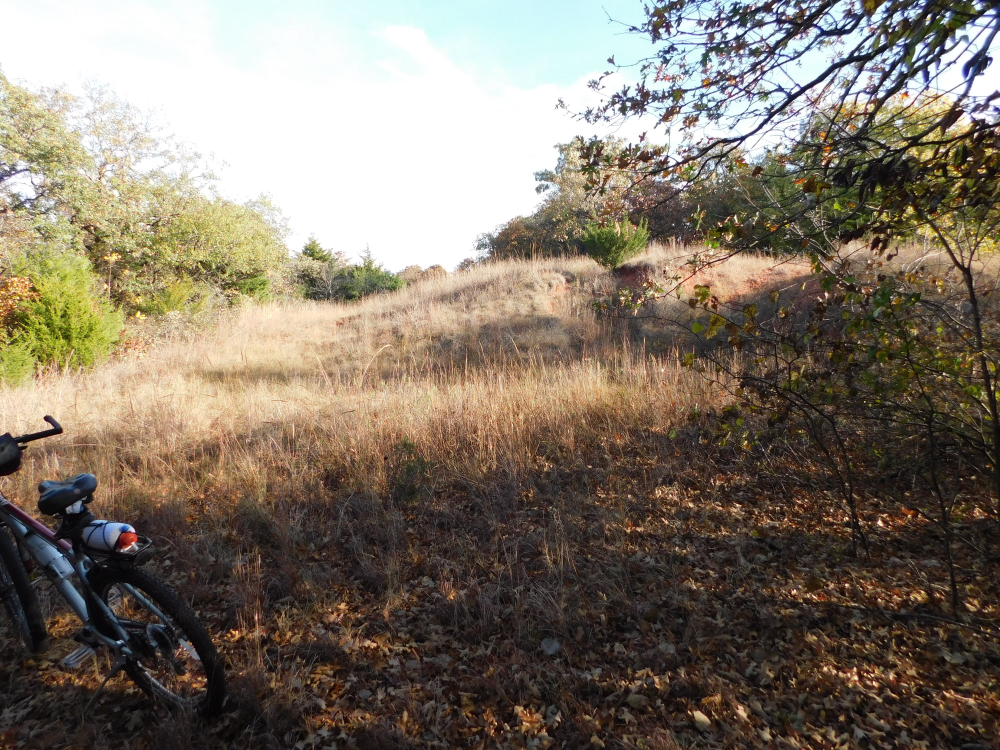 So while the trails they once used are still available on the mapping services, they are now quite hard to find, because the foliage has taken over again. There’s no way I could ride my bike over most of it, and it requires a permit to do so.
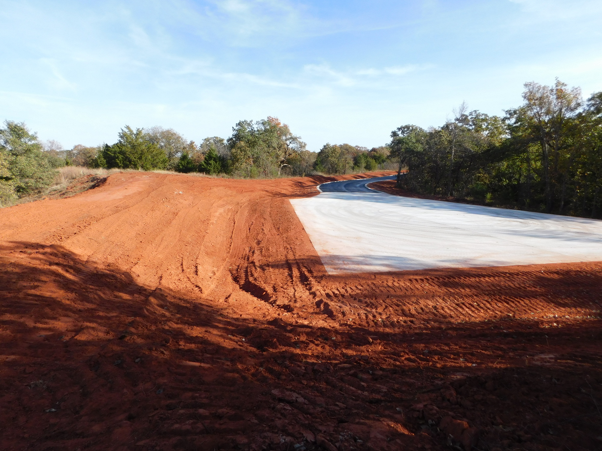
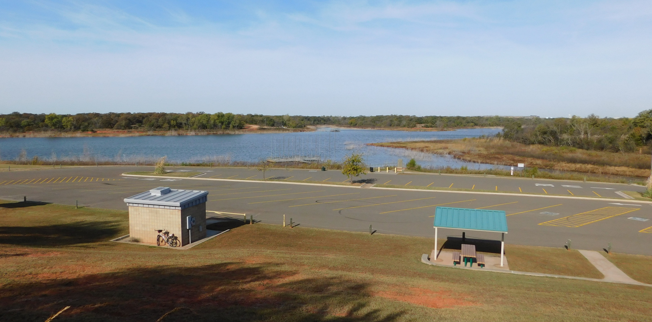 Keep in mind that the contractors have been building a new road out in this area, so the difference is even more radical than what the maps show. In fact, I tried to avoid capturing the crews as they laid new asphalt, the second of three layers. That includes a new parking area that took out part of one old trail.
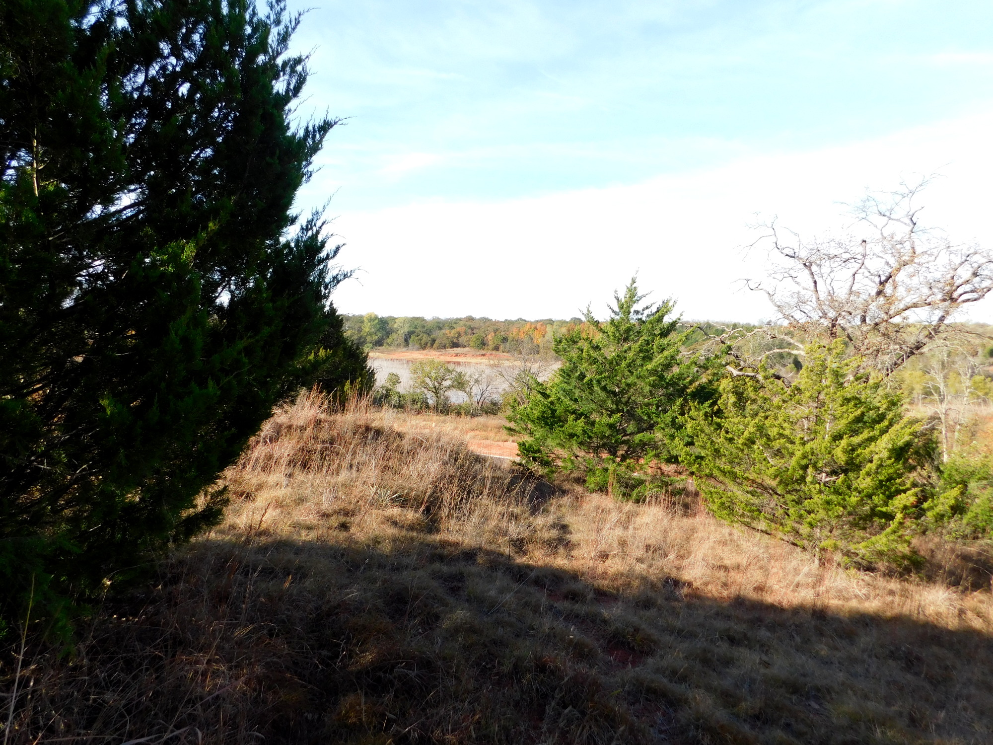
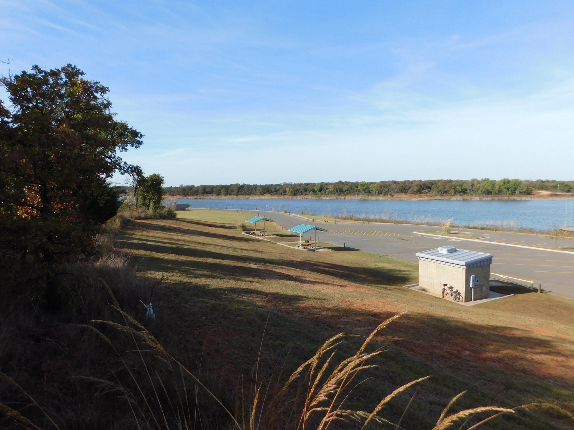 Still, I found it easier to follow this trail on either side of the new pavement, but it was very rough and hilly. That fourth shot features grass hiding the junction between two very deeply wallowed out Jeep trails, one running up that hill. It was all pretty close to that new parking area.
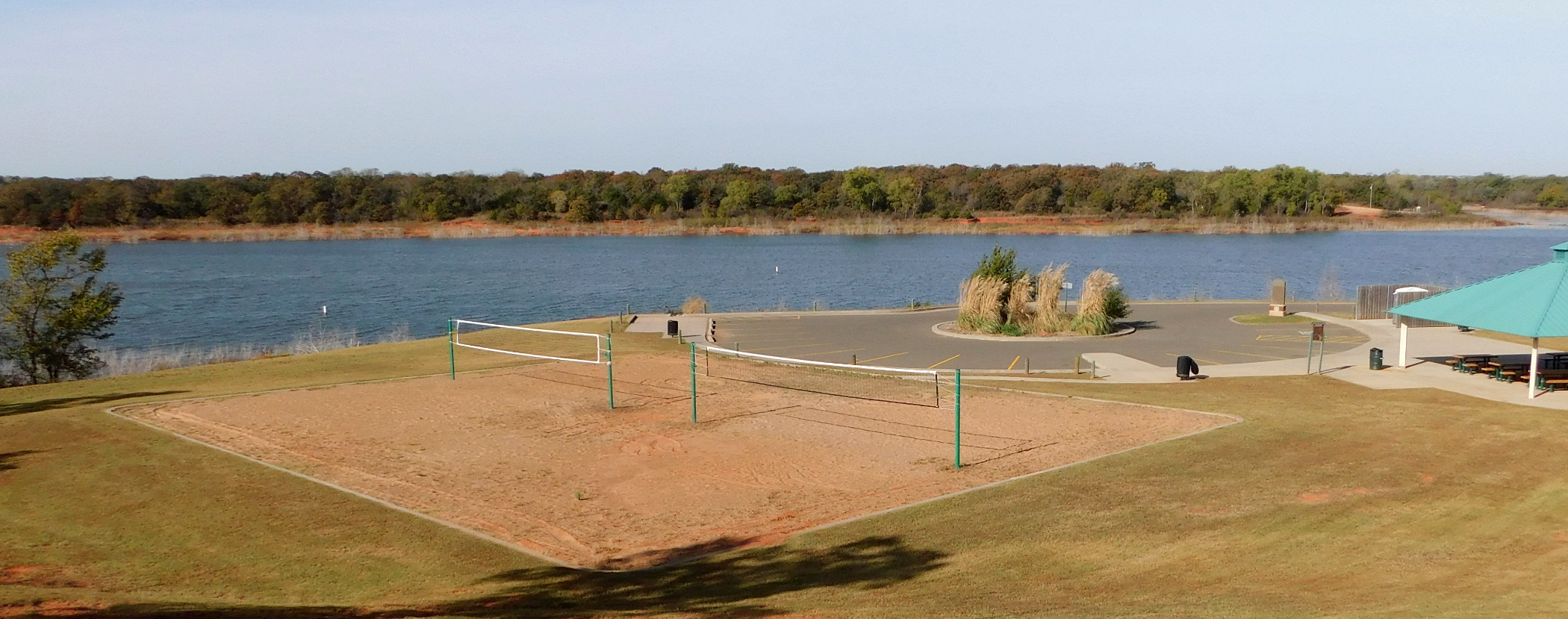 I checked a couple of other trails on the east side of East Elm Creek, but they were impassible in shorts. I finally rolled on out to the main recreational area on the north shore of the lake.
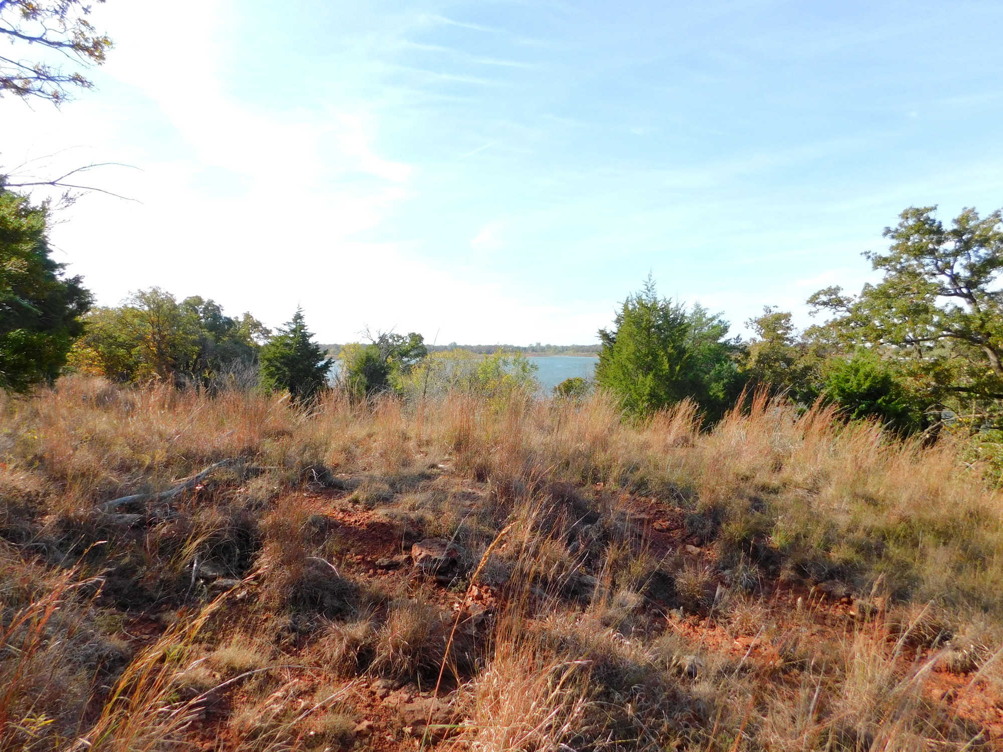 I caught sight of several more rugged trails before I climbed up the hill to take a few shots across the lake. After wandering around a bit here, I noticed I had the place to myself. Because the grass is mowed very short here, there is very little risk of ticks and chiggers, so I sat down close to the shore a long time and worshiped. It was one of those moments when my heart yelled, “Stop! This is the place.” (I never ride without praying some aloud at least part of the time.)
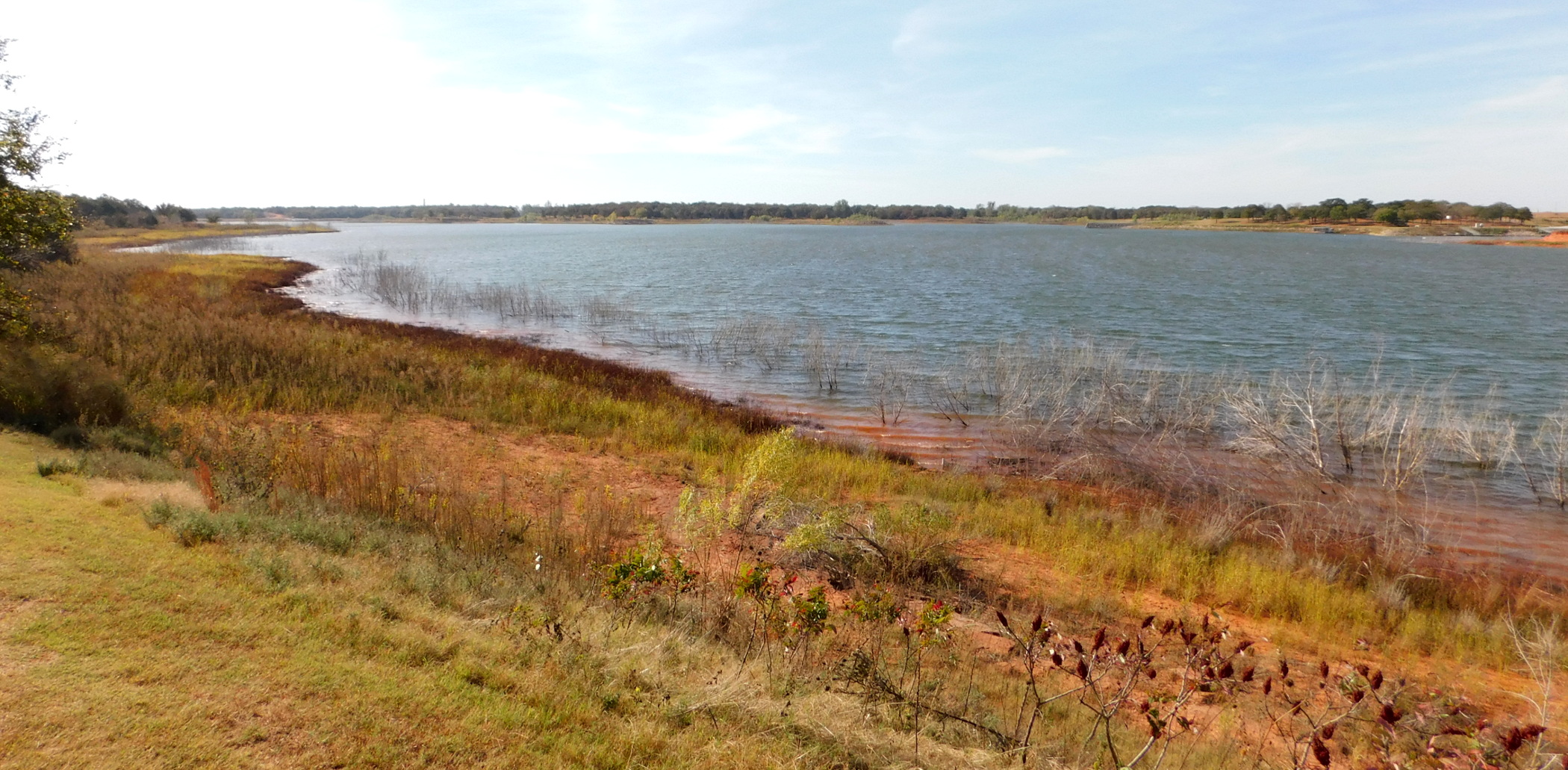 I included a lot of territory in the satellite image so you can get an idea of how much there is to explore out here. Just picking my way along the old overgrown trails would take days, and I can’t guess what visual treasures there might be. So while it might be fun to have today’s riding temperatures range from 66-80°F (19-27 C), it’s making the normal fall activities kind of rough. The grass and many trees are doing what they do for fall colors, but it’s not unanimous and it’s tough to go see until the temperatures drop. But stay tuned; the weather is supposed to turn in a couple of weeks — just a little.

