
 As always, click on any image to see it full-sized. CTRL-click will open the image in a separate browser tab.
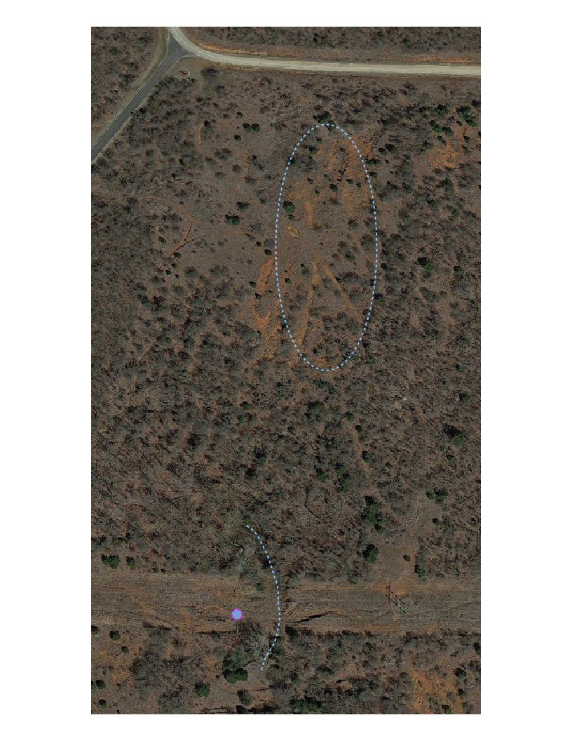
I drew on today’s satellite image. The ellipse at the top is an area I wanted to see on the ground and it turned out nothing more than just a few shallow, broad washouts running down all sides from a peak. The only real oddity here was the unexpected patch of dessicated cattails growing in a bowl near the peak of this ridge. They didn’t have a chance to gain full height, but some of them do have small puff tails. It was just one of those unexpected delights, and I’m pretty sure not many people know they are there. It shows up on the satellite image as a sort of football shape near the middle left edge of the ellipse.
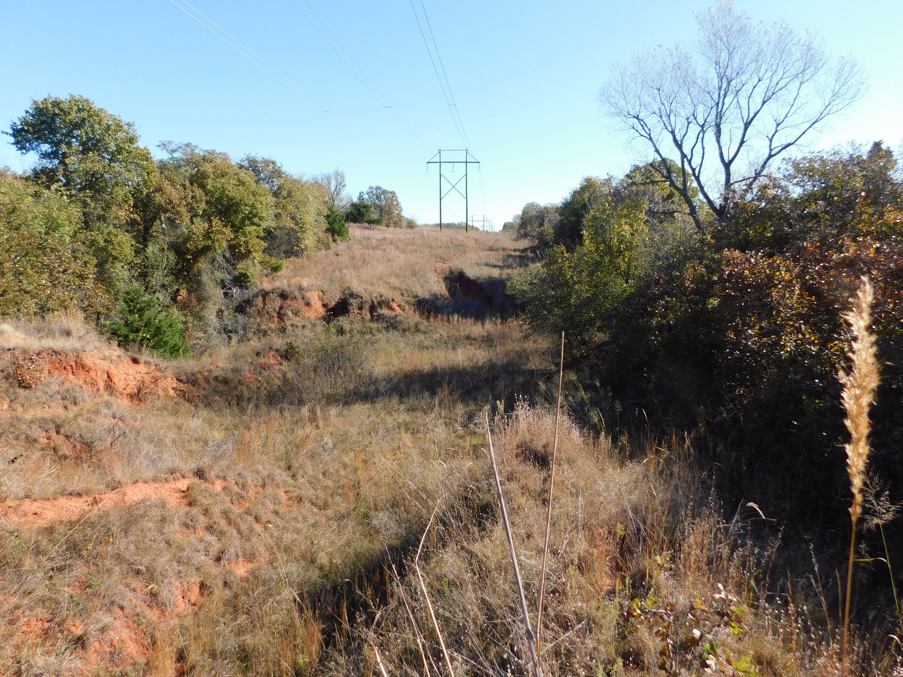 Having gotten into that spot from the roadbed along the northern edge, I came back out and rode south on the road to the cut for the high tension lines. This was terribly thick grass mixed with oak shrubs and spindly long blackberry vines. Yeah, I got scratched up. I had to drag my bike through this about 100 meters to find a place to hide it. Then it was a long trek eastward and downhill. I drew a dot with a lavender outline to show where I stood to take this picture. The dashed line east of my position was the bottom of a canyon. The perspective is a little off; just to my left in the foreground is a two or three meter drop. I thought I might be able to clamber down on this side, but I had doubts about climbing the far side. I’ll probably come back to this by starting back up in the area where I drew the ellipse and try to come southeast a bit through the overgrown trail visible on the image. That will bring me out on the high side across from where I stood today.