
 Two sets of pictures collected this past Wednesday and yesterday. Draper Lake is still at a high water mark, while the state is mostly in drought.
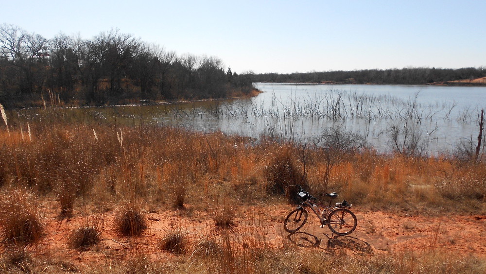
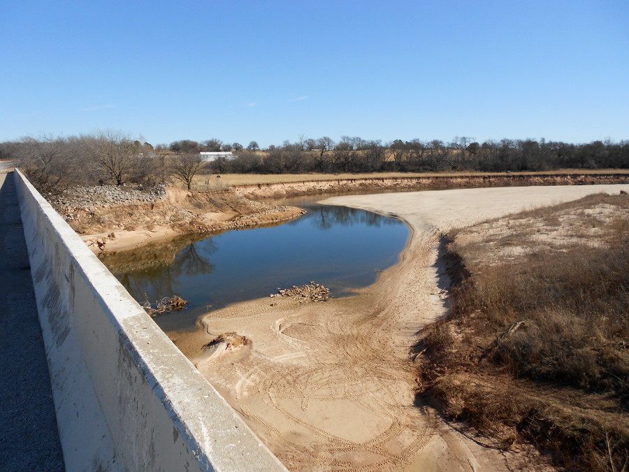
On my trek to the lake, I decided to run south along the eastern bank of the primary feeder creek for the whole lake, East Elm Creek. It’s pretty much a straight shot along this side of the ridge of land using the old shore trail. That is, until you hit a large cove (first image).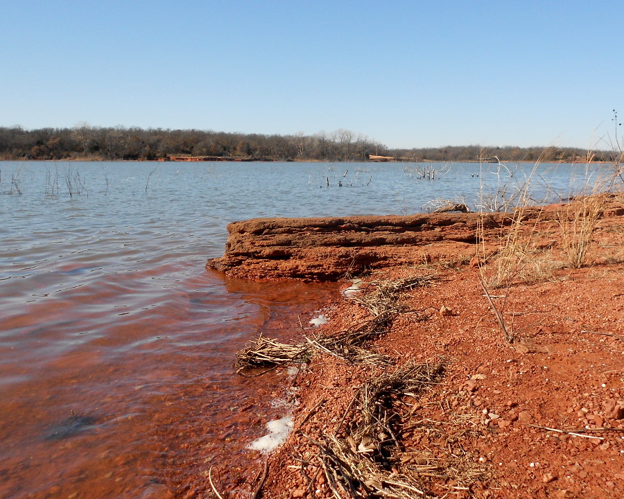 This cove is on the northern edge of the highly developed recreational area. It was pretty rough riding in the first place, given that the equestrians use this trail a great deal and it was pulverized sand in places, but around the cove, it was too long overgrown and washed out in places. I ended up walking the bike over a large ridge at the head of the cove to get back to the road.
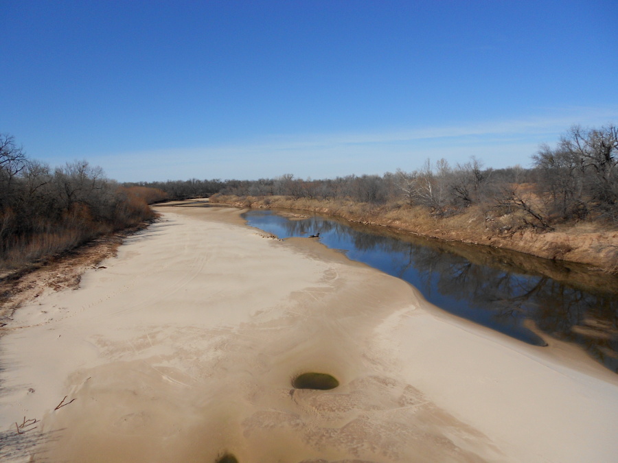
 After cruising around the park area, where the boat ramp sports a nice new floating dock, I headed farther south along the shore. There was just barely enough room to walk my bike through the foliage on the shore. It was too soft to ride with the recent hard freezes drawing the moisture up into the shore sand.
 The freeze and thaw cycle left very crumbly wet soil (second image). Eventually I hit another cove and was forced up onto the old shore trail. Here on the spit of land that ends in the double points of 9 and 10, this trail is completely taken over by stalks of thatch grass.
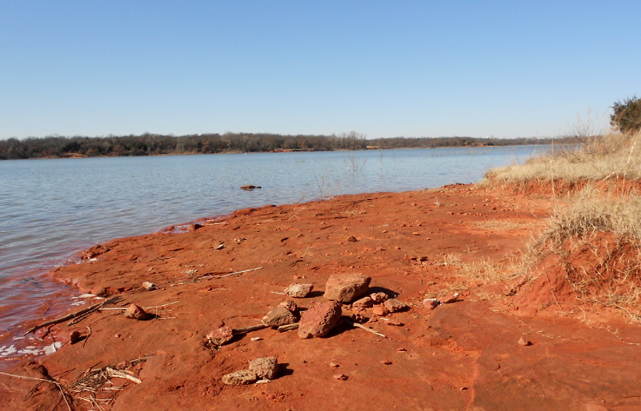
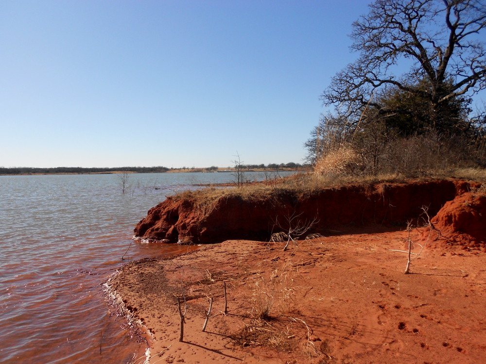 It was a real trip trying to navigate between them with virtually no sight of the ground beneath (fourth image). Point 9 itself is a double point, with the first lobe offering a large, flat rock layer currently just out of the water (third image). The point itself wasn’t that special (fifth image).
 From there I rode straight back up the ridge line into the woods. The biggest hassle was dead-fall, some of which I dismounted and moved by hand. The trail led me back to the high ridge behind the park area, so that I could ride back out on the main road. Now we shift to pictures from the North Canadian River in the North Hills.
 I headed north on Midwest Boulevard and turned east at Britton Road. About a mile-and-a-half this crosses the river. I shot first upstream (south) and then downstream. You can see how very dry it has been. This is the trickle allowed to flow past a collection of dams starting at Lake Overholser way out west of OKC, then the three dams in the Oklahoma River recreation area just south of downtown.
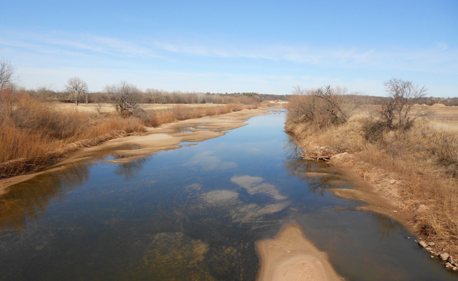 The river is alive, just barely, and we’ve had no significant rain for a few months. Yet, without the dams, the river would literally run dry at times. Anyway, the second shot downriver is really pitiful.
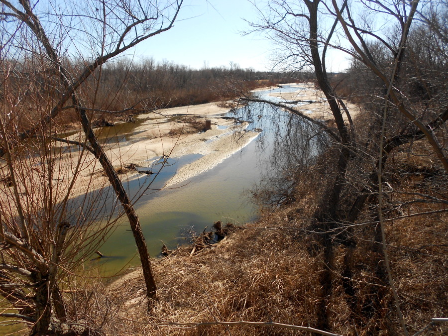
I worked my way north on Post Road from there to Hefner Road, east again to Westminster, then north to the crossing on NE 122nd Street. Here the first shot is downstream (north) where the river has gotten scummy over a large stagnant basin in the river (above left). The upstream shot was hard to capture against the sun, so I aimed my camera through some trees along the river bank.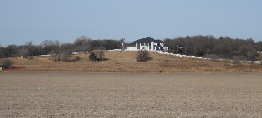 That green water smells pretty nasty, but if you went down there, you could find a host of mud-dwelling crawfish and similar creatures (above right).
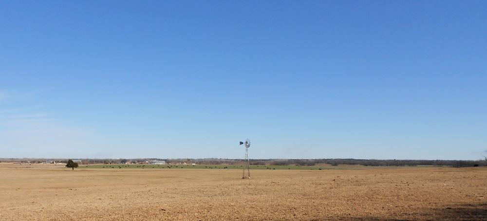 I turned back west from there and noticed up on the northern ridge a new addition to the skyline: another rural mansion (above left). It stands just off Post Road north of NE 122nd. It just shows how long it’s been since I was up this way. There were just a few signs of dirt work the last time I passed. From there I headed west, and then left at the corner of Douglas Boulevard, where the “La Dolce Vita Ranch” stands. South took me back to Hefner Road and the sand extraction mine. A right turn took me west toward Midwest Boulevard again. I noticed that the farmer had repaired the windmill destroyed in a storm last year (upper right).
 From there I headed several miles south back to the North Canadian River crossing where I access the hidden trail system along the south bank of the river.
The final image is looking upstream from there to show, again, the depth of drought with the river trickling around the bend that saw so much reconstruction work a few years ago.