
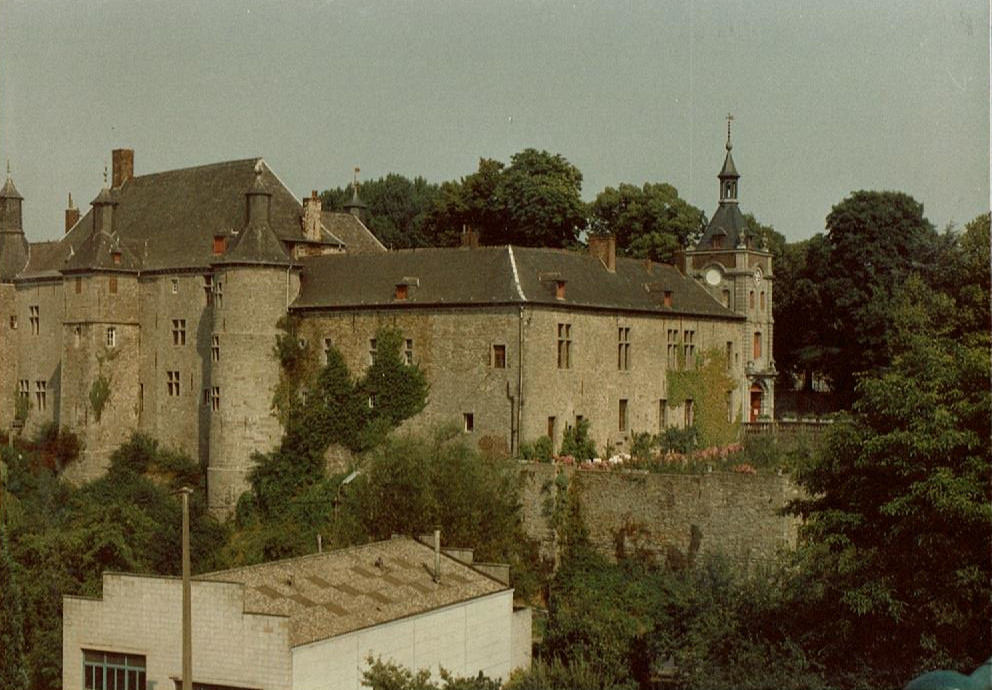
 This is a better look at the castle in Ecaussinnes, Belgium. From what I understand, a castle at this location is first mentioned in a letter about 1325, though no one knows what it looked like. I’m told the architecture seen here comes from a later period.
 But the most unforgettable part about volksmarching around Ecaussinnes was the nearby barge slide at Ronquieres, Belgium. The canal runs into a steep drop on this hillside, so instead of multiple locks, they built a huge track to move the barges up and down. This view is near the bottom, looking back up the tracks on the slope.
 Here is a barge riding in the huge bathtub on wheels that sits on the track. The bathtub bumps up against the flood gate at both ends, and the gate opens same as with locks. Water is piped up and down some conduits on this track, but they leaked every time I visited.
 Down around Maastricht, a canal loops around the west side of the city, connecting to another from Antwerp, while the Maas River continues on the east side of the city. They converge again south of Maastricht, and the Albert Canal cuts right through the old Caestert Ridge. Here I’m standing on the southern side of Albert Canal looking northerly in the general direction of Maastricht, invisible behind the hump. The Maas is visible in the background.
 Farther north along this same ridge, closer to Maastricht is this opening called De Tombe. It’s part of a system of tunnels cut under the mountain by sandstone miners. I didn’t pay the fee to visit the tunnels, but this opening is visible from several angles on the west side of the Saint Petersberg Mountain.
“De Tombe” is an apt name. A tomb is what I thought of what I saw that last picture.