
This being our colder season, it is now safe to wander out into the woods and grassy areas without being eaten alive by ticks, chiggers and biting flies out at Draper Lake. This year, instead of chasing down the shoreline, I’m simply trying to visit the points and coves that are still accessible. The water is very high this winter, so I can’t even think about walking and riding along most of the shore.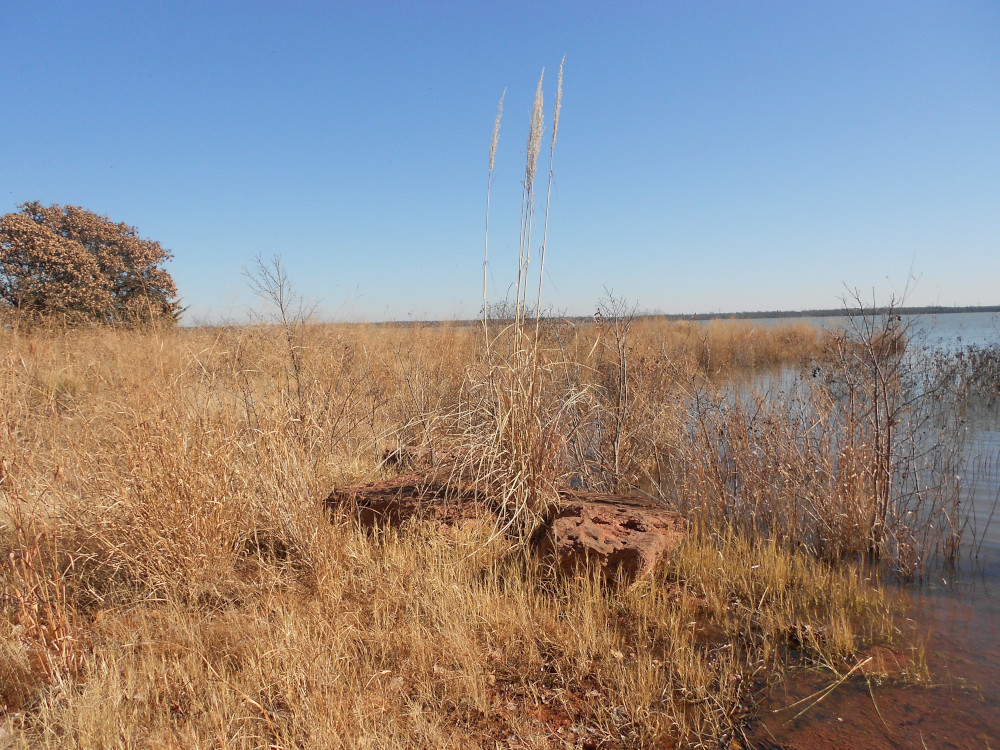
I’m starting on the west end of the dam. While the first point has no number, I’m calling it Point 0 (“zero”). It receives precious little traffic because the most convenient entrance is protected from wheels to prevent erosion. I wasn’t aware of this until after I had ridden down the draw, because it was the only way to dodge the trees cutting across most of the point’s mid-section. The grass is high and very thick, so I stashed the bike and walked along the southern shore. This first shot is the only rocks I encountered out there. There is really nothing inspiring out on the end of the point itself.
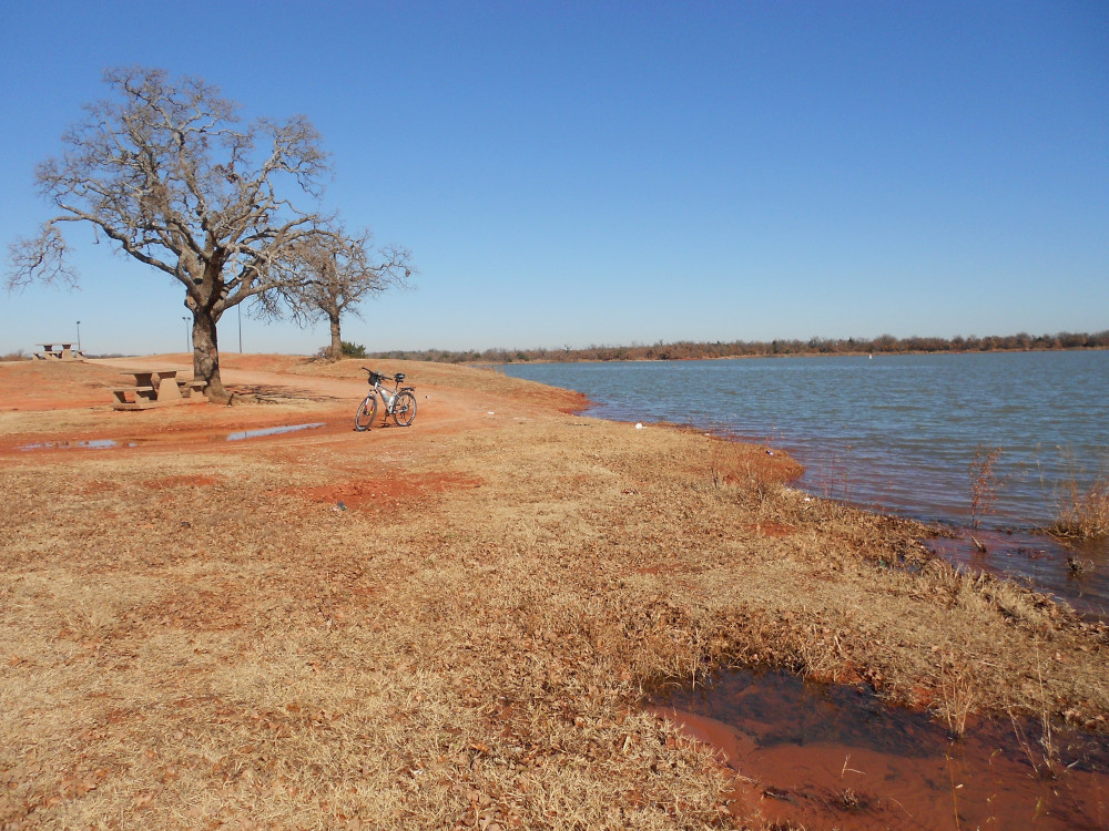 The next feature to the north is Point 1. It does get a lot of traffic; it’s the easiest one to see and to drive out onto. It’s a very wide point. I walked out to the sharpest end, which is far off to the southern side. The face of most of the point is a short bluff about just a yard (meter) high. There are some spots where Parks & Recreation dropped rubble and boulders to reduce erosion, but it would take hundreds of tons to accomplish much.
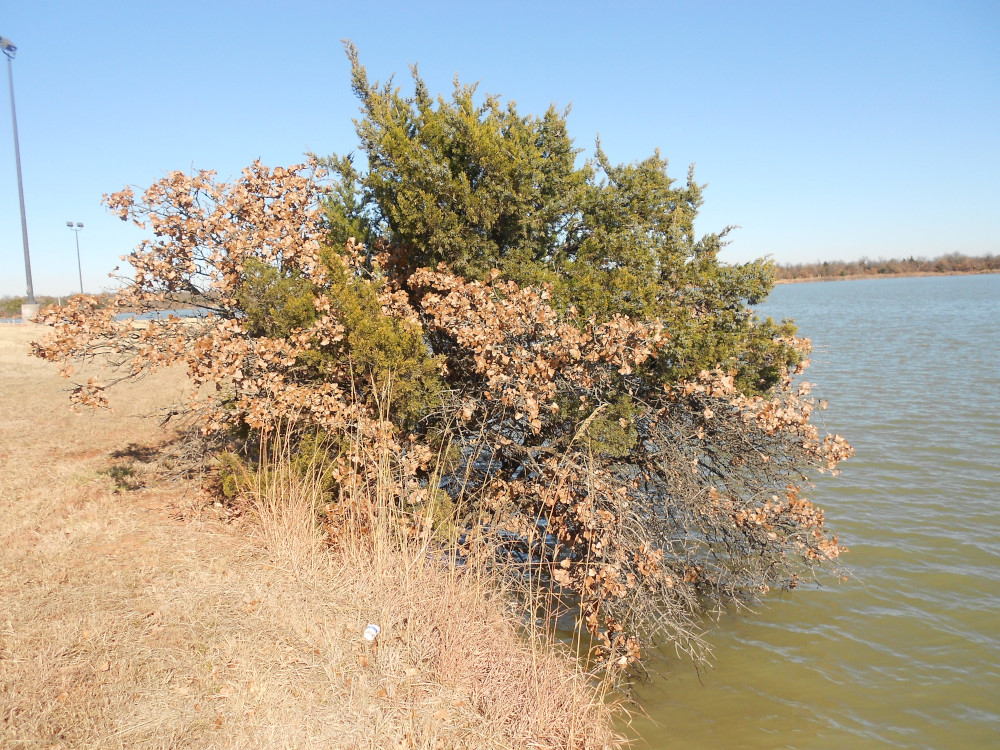 Here is a pair of trees clinging to the lip of the bank. This pair appear to have grown up together, and the cedar is actually keeping the oak from falling in. The cedar has roots that spread wide, whereas the oak is mostly reaching down. With the wave erosion, the underside is what’s washing away. There were a couple of spots where chunks of the bank dropped into the water during the last year or so.
As time and weather permits, I’ll continue this fresh look at the points under high-water conditions. The next three (2,3 and 4) have to be done all at once, since they are clustered together far out from the shore. They are the entire opposing shoreline in the background of the second and third image here. I’ll post a map the next time.
Goodness. That photo of the oak and cedar friends is something you don’t see every day.