
 Yesterday I rode out to Draper Lake and visited Points 11 and 12. As I passed the road to Point 8 I spotted an OKC police cruiser sitting on the road, facing outward rather like a speed trap. As I rode past it occurred to me this was just a standard patrol, something that I hadn’t seen much in the past. Some distance beyond that on the bikeway was the turn for Point 11.
 I rode out to the point and saw a rather new sign warning that this point was now under recovery, and no wheels were allowed. So I locked my bike to the sign, since no other suitable fixed object was close to the pavement. As I was doing so, that patrol cruiser rolled by slowly, then left. I strolled down the slope and took a couple of shots.
 This next one (above) shows how the natural bluff was washed out because of wheeled traffic running down to the water during times when it wasn’t nearly this high.
I can recall that this rock shelf (left) was above the water a couple of years ago. Indeed, there were several more like this around Point 11. But this point was never beautiful, and it has seen a lot of foot traffic and litter that never gets picked up.
 After looking around a bit and noticing that the equestrian trail was now heavily overgrown, I left and came around to the Point 12. On the one hand, this point is much prettier. On the other hand, it suffered greatly from a very bad brush cutting a few years ago. A few trees were cut and thrown down on the shore.
 The crew that did it failed to cut the underbrush off at ground level, leaving hard stubs in the ground, most of which have already sprouted again. Meanwhile, the rest are there to trip you up, or even threaten to poke through the soles of your shoes.
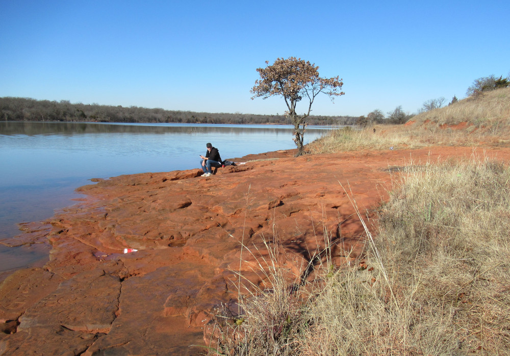
Here’s a man sitting on the rocky shore at Point 12. He had a large dog with him, running around and chasing a toy, quite non-threatening. The man threw it out into the water a couple of times, and the dog dutifully swam out to fetch it.
Here we can look back to Point 11. While it’s just barely visible in the far background, we have a lovely view along the western side of Point 12. If you look closely, you’ll see the dog lying in the deep grass.
If the details of the local map mean anything, then Points 8, 11, 12 and 13 along the north end here are under recovery protection. I’ll be visiting 13 next, so the point itself is no-wheels, but the old shore trail from there to the Point 14 is outside the recovery zone. I’m hoping the equestrian track there has seen recent use.