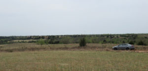
 I can’t ride Draper Lake’s bikeway any more; the hills are too much for my knees. So I drove out and hobbled up onto Miracle Hill, turned back to where my car was parked on a dirt road and shot the rolling countryside. It was slightly overcast.
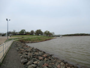
 This is the Draper Marina, after a bunch of renovation work that didn’t really change much. I was standing out on the quay (that’s what they call it — a high concrete walkway alongside the boat ramp). What you cannot see is the stiff wind in my face driving the waves hard against those rocks. It was a beautiful moment.
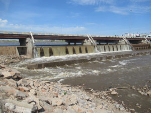
 It’s rare to see this much water running over the dam. This is the lower dam on the Oklahoma River boating area. The water had eroded the bank some on both ends of the dam, and pushed away a lot of the rocks commonly piled below the dam.
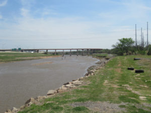
 From the same spot, I turned to shot downstream. This is a high water level for the North Canadian River. That’s Interstate 40 running high above the river in the distance, with Interstate 35 swooping off to the left. I was able to cycle out this far from the house (5 miles, 8km) because it’s all nearly flat ground.


Was there a lot of rain to cause all that dam flow?
A few years ago I went rafting for the first time. Interesting thing about water flow and turbulence: when the water level is lower, it can cause more turbulence because there’s more rock exposed…rock that would normally be completely submerged. Exposed rock cause interruptions/breaks in the flow, and enough breaks compound into more turbulence.
That feels like geology 101 phenomenon but it was counterintuitive to me.
It’s a question of scale: How big is the rock compared to the flow? There had been some rain, but the work upstream means one of the three dams is all the way down until the work is finished this summer. Thus, the water flow more directly reflects the amount of rain in the upstream watershed. There’s less flood control.