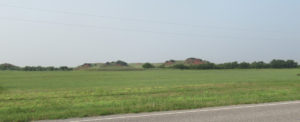
 We finally took that long trip out to Western Oklahoma. For most of the trip, it was simply a matter of Interstate 40 until we got to Clinton, OK. From there I-40 angles southward a bit, and we needed to head straight west. It was a bit of zigzag on some state highways, but we began seeing the hills of the western grasslands not far outside Clinton to the west.
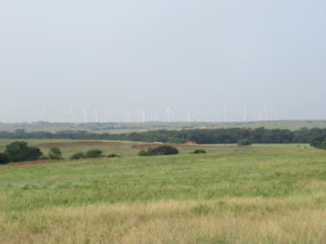 Oklahoma has a massive windmill farm in the western third of the state. This is just a tiny handful of what is out there. Today the winds were quite low, so very few of them were turning. On top of that, we had a significant haze of smoke in the air from the fires out in the western US. Still, this turned out better than I had hoped.
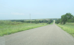 This is more or less what you would expect to see on the state highways out in Western Oklahoma. These little highways are paved, but sometimes just barely. This being oil country, it would be asphalt, of course. But the rolling hills are typical, and our route featured plenty of turns, zigzagging around terrain obstacles.
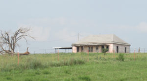 We spotted this abandoned house about halfway between Clinton and Cheyenne. You can find plenty of these all over Oklahoma; we saw several others that didn’t present themselves so easily for the camera as this one did. It’s apparently used now as storage for the ranching equipment, because a very large cattle chute system was just behind it, along with very large machinery hidden behind the crest of the hill.
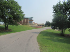 One of the biggest things to see out around the Black Kettle National Grasslands is the Washita Battlefield site. This is where the notorious General Custer (then a Lieutenant Colonel) attacked a Cheyenne-Arapaho campsite with almost no warriors, just women, children and disabled older people. This visitors center has a museum for the battlefield, but the lower half of the building is federal offices for the grasslands.
 Behind the visitors center is a very lovely view of the Washita Valley, just west of Cheyenne, OK. To be honest, it’s seldom this green. This part of the state has gotten a lot of rain since last fall, so it’s really quite green. This area is actually rather dry, so this makes for a unique opportunity.
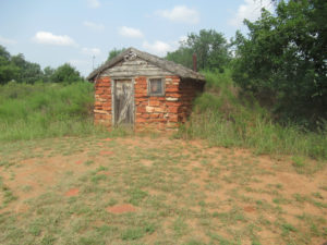 The short little trail near the visitors center offered a few things like this mock-up of a standard sod house. From the photos I’ve seen, a rock front was rather rare. Still, it’s not a bad mock-up. It would be hard to convince me this was one actually used by settlers who came out during the Oklahoma Land Run.
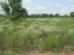 This is an up close of what grows naturally in the grasslands. Keep in mind, it’s greener than normal for mid-summer. But this is what the federal parks system is trying to preserve by designating this a national grasslands. The little guided walk teaches you all about the various kinds of plants here. I note that the place was thick with sand plums and I picked a couple that were just a bit larger than normal around my neck of the woods. But there were a few other plants that are edible if you know how to use them.
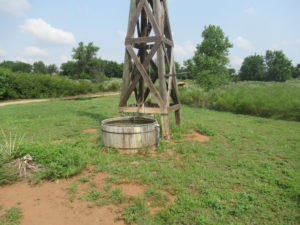 The park also featured a classic windmill, but what was most interesting is what no one gets to see most of the time: what stood at the bottom. Granted, the original water tanks were often considerably larger, but this is accurate otherwise. This one actually works, pumping water when you release the windmill to turn.
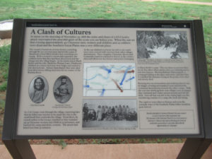 The actual battle site is a mile or so west of the visitors center. This plaque was just about readable enough to capture with my camera. There’s a long trail the runs down to the actual campsite on the banks of the Washita River. My knees weren’t up to hiking, so I had to forego. Still, the basic story is nicely summarized by this plaque.
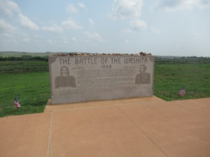 There is also this stone monument to the main figures involved. This whole site is treated like a cemetery by the government, and as sacred ground by the Native American tribes. Indeed, for the natives it didn’t matter whose blood was shed, and it turned out a significant part of Custer’s war party were killed when nearby tribes came to rescue the Cheyenne-Arapaho camp.
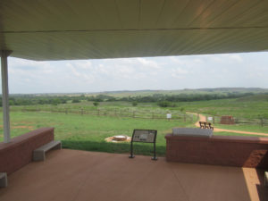 This is the view from inside the pavilion. I was really hoping to spend some time just sitting there and getting a feel for the place, but there were too many other people wandering around. Still, the pavilion is very nice; the shade is from a very thick roof that blocks the heat of midday.
Tomorrow: More shots of the grasslands, plus Antelope Hills.


Had to re-look up sod houses; I remember reading about them semi-recently. That one you photographed looks a bit idealized, since I don’t think a lot of them had stones on the sides like that.
Nice view in that last picture.