
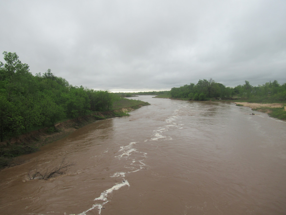
 This is not so much the pictures as the adventure of taking a ride I haven’t done in several years. I went out Reno Avenue east to Dobbs Road (long and very hilly), north to NE 10th, through Harrah to Harrah Road and north to NE 36th. At that point I had to take shelter. (left: the North Canadian River at Harrah Road)
It had been raining off and on over the past 24 hours, to include tornadoes that ripped through a small city east of me (Seminole, OK). Today it looked like the rain was done. A storm cell popped up and swept across the area I happened to be riding. This site at NE 36th and Harrah Road was one of my old prayer chapels, and right now there’s a bridge under construction on the east side. They had a plastic porta-potty on the west side of the road, and I ducked into it just in time to avoid hail and lightning. Getting wet wasn’t the issue; that had already happened. The storm ended, and suddenly the clouds parted for a brief moment of sunshine behind it. (right: North Canadian Valley between storms, from NE 50th near Dobbs Road)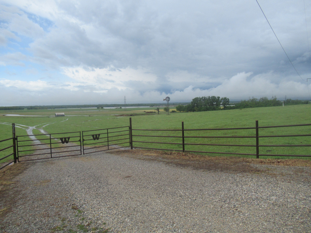
From there it was up to NE 50th and left back toward Triple X Road. I was stopped by a yard dog on the other side of Peebly Road just dying for some attention. Another one joined in the fun as I talked to and petted them. A short time later I spotted a skunk about to cross the road in front of me. He paused and raised his tail, so I steered over to the far side the pavement. I got past unscathed. At Triple X I went north for two miles of flat, straight pavement, but it was against the breeze front. The temperature dropped about 5 degrees (F) and felt just a bit chilly with my wet gear. So I kept up a fairly hard cadence to stay warm. It worked. At Wilshire Road I turned back west, rolling over little humpy hills all the way to Spencer-Jones Road.
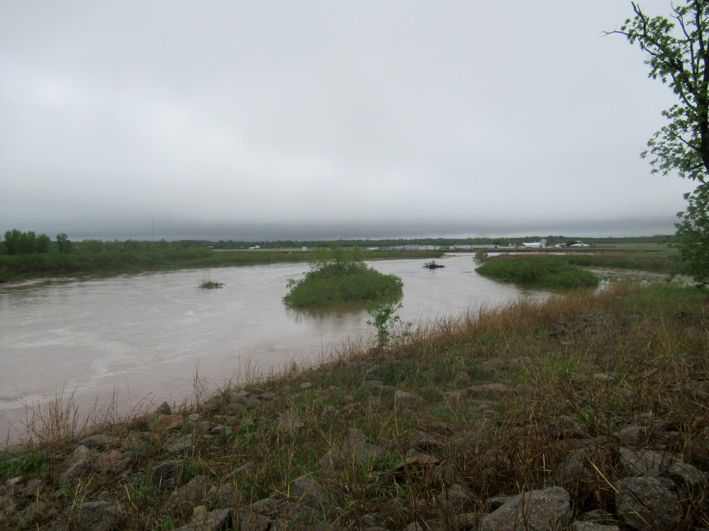 I stopped at the bridge over the North Canadian River because the wandering from the past few floods has gotten really bad (left). It is curved a full quarter-mile back behind the bridge from where it was ten years ago, trying to cut off the road I was on. The county has been working hard to force the river to stop cutting so deeply into the farm fields, and maybe push it back to its old course. Fat chance of that.
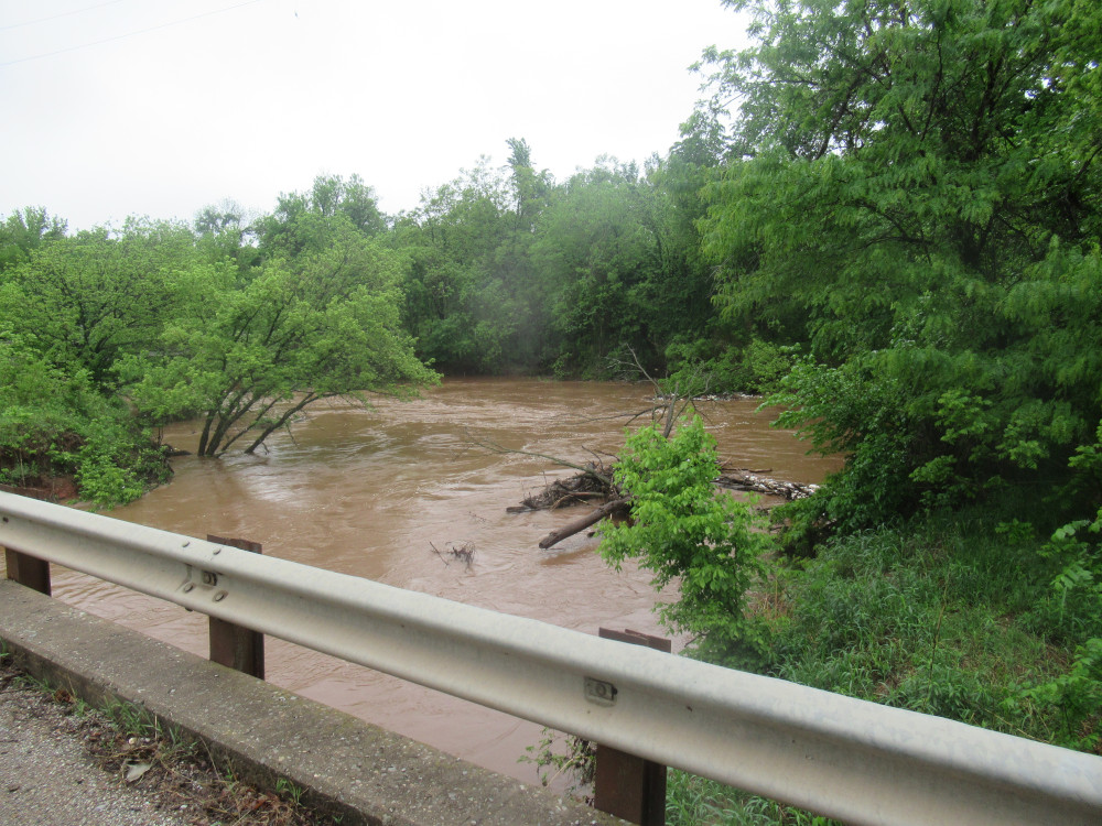 At Spencer-Jones, I headed left until I got to NE 63rd, and followed that to Midwest Boulevard. I noticed how all along the ride so far, the river looked so very full. Yet, once I turned south on Midwest, at the bridge it was not nearly that full. I was puzzled. A little farther down, at the blocked off Crutcho Creek bridge, I saw why: the creek was at flood stage and carried by itself about the same volume of water as the whole river had up to that point (right). Once it hit the mouth, it almost doubled the volume of water in the river.
From there it was a long slog back home. Total distance was 39 miles.
You know there’s gonna be a problem when the water level is up to the leaves.
For sure; I can tell you that’s very deep for that creek. It’s a very long water course with lots of pavement and other forms of development that make it catch an awful lot of runoff.