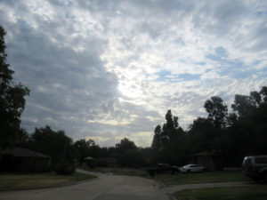
 This is the trailing edge of a passing storm front. It didn’t rain all that much right where I was at the time. We fell into a gap in the system, which is partly why the opening appeared as it did. We had a week of intermittent rain from a front that stalled out over the state. This was its last gasp before moving on.
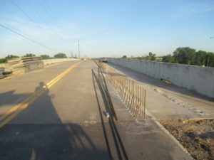
 This morning I managed to get through the NE 4th Street construction area before the workers showed up. These are large concrete blocks used to build retaining walls and terracing. They look like giant Legos all piled on the side of the road. The new bikeway will be built on the right side of the road and these are necessary to bring it up almost level with the road. The surrounding terrain is about 4-5 feet (1.2-1.5m) below the road bed.
 This is the NE 4th Street overpass at Interstate 35 in OKC. To accommodate the new bikeway, the old concrete barrier was chipped away, making the sidewalk double width. You can see the rough surface still exposed. The new concrete barrier will be poured where the rebar is now positioned. I’m pretty sure the lane markings painted on the roadway will be changed, too. The shoulder on the left side will probably be merged into the traffic lane.
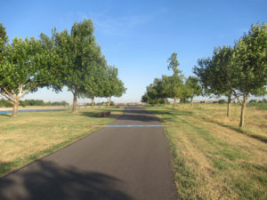
 This just shows the landscaping along the North River Trail. It was all barren for the longest time, but they came along about five years ago and added a bunch of trees. It’s one of the few places to get such regular mowing in the city. There’s a heavy investment here because of the water sports. This part of the river is used almost year-round for training.
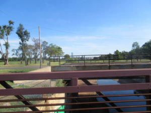
 And it’s not just landscaping, but several bridges were replaced completely with something more decorative. This is Exchange Avenue crossing the Oklahoma River. It runs from western Downtown over into “Cow Town” — the old historic Stockyards section of the city. For the longest time it was quite the blue collar place, but in the late 1970-1980 time frame, most of the cattle trading moved out of the Metro. Then it started going upscale. There is still a rescue mission in the area, but the main drag on Exchange Avenue is all fancy now.
 This is nothing more than attempt to capture the bridges and upper dam in alignment. Just so you’ll know: The stiff cross breeze imparts a small chop to the water surface so that you can’t see how brown the water is. It’s not too highly polluted, but it does carry a lot of silt. Every ten years or so the water is drained and excavators have to remove tons of silt that build up behind each of the three dams. And that’s after it passes through at least one more upstream dammed lake (Overholser) still within the Metro area. Rivers in this state seldom run clear.
 Speaking of bridges, the Grand Boulevard South Trail has its own bridge over Lightning Creek, separate from the Grand Boulevard Avenue bridge. This is looking downstream, which is toward Downtown OKC. You can’t miss the Devon Tower sticking up for all the world to see. What you cannot see is the massive flood basin just on the other side of the bridges.
 Looking back upstream I spotted some volunteers working alongside the creek bank. In the distance is some heavy equipment used from purpose I can’t discern at this point. However, it looked to me like the volunteers were pulling litter out of the greenery along the bank. Lightning Creek is so named for a very good reason. I surveyed it once, and there is an awful lot of pavement run-off upstream that fills this thing like lightning whenever it rains. That’s after two different containment basins are filled before the one mentioned with the previous image. At any rate, it floods high enough to deposit trash in the high foliage along the banks here.
 Back over in Del City, this was once a bikeway running under Interstate 40. There was a long-winded project improving access to I-40 along the entire Del City-Midwest City corridor (called “Tinker Diagonal”). Today an excavator was restoring the landscaping between the two halves of the highway. It’s finally winding down, and the bike path will be restored, but it’s still months away.

