
![]() As always, click on any image to see it full-sized. CTRL-click will open the image in a separate browser tab.
As always, click on any image to see it full-sized. CTRL-click will open the image in a separate browser tab.
 I’m whipped, well and truly. Today was my first 40-miler after the collision. Yes, I know it’s rather nutty to do that on a mountain bike, but it’s all I have now. So while I’m not hurting in the wrong way, I’m still sore in a lot of places I haven’t felt in months. The route was along the Oklahoma River to Meridian Boulevard, then over to the West River Trail.
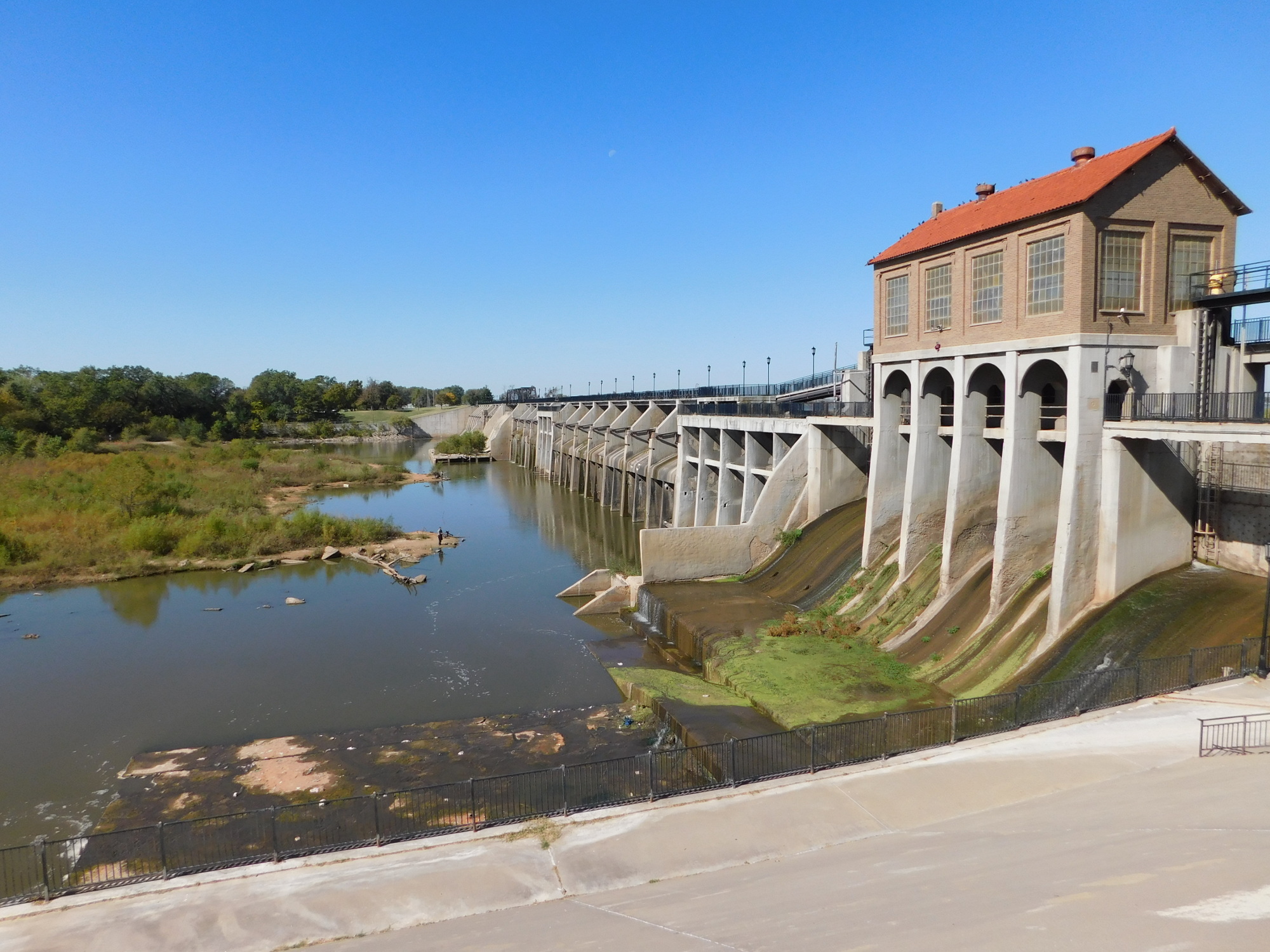 The latter ends just about a mile from Lake Overholser. Our first image is Crystal Lake, a sand extraction lake on the West River Trail.
 Coming around from that direction, the dam is the first thing you see of the lake. As with my last visit, I walked my bike up the steps onto the dam, but this time I dropped down the back stairs onto that two-mile long berm that separates the river channel from the lake. It was very quiet and peaceful, but kinda bumpy.
 The park itself on the east shore is pretty well kept.
About halfway down the length of this thing is a bridge across the river channel so vehicles can access the berm. There’s a boat ramp that drops into a protected cove. However, all around the bridge are several types of recreation facilities. For example, Schlegel Bicycles (where a good measure of my money has gone over the years) has a tool stand along the bike path at the bridge.
 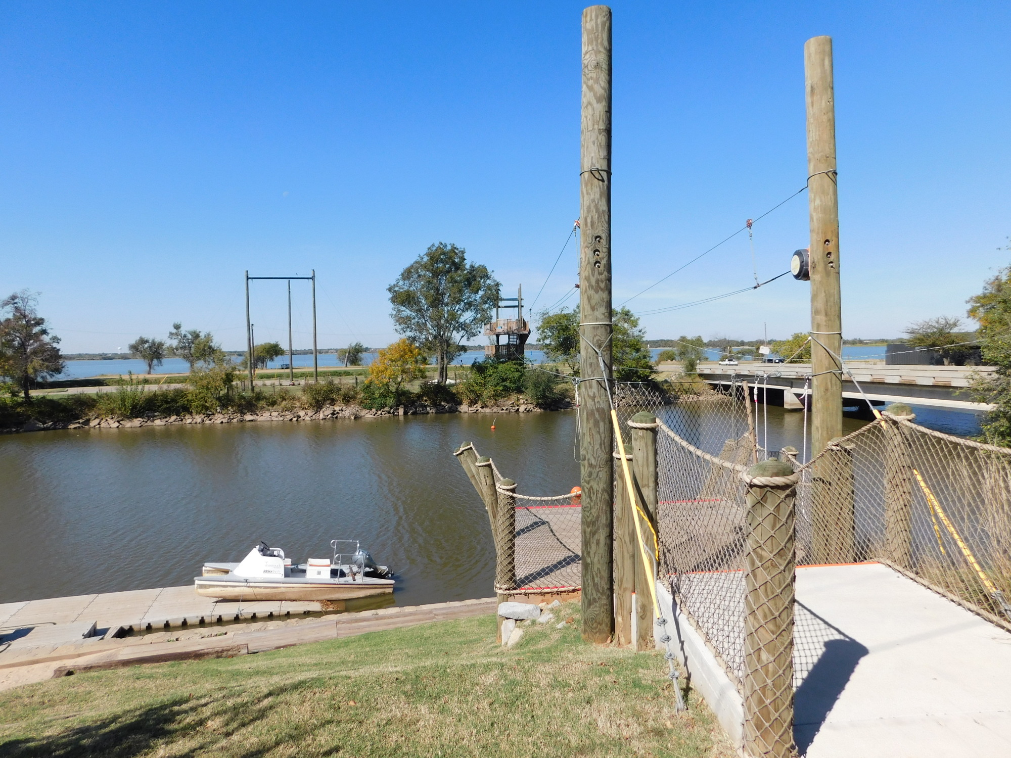 That black stand in the center of the image has tools sprouting from the top attached by cables, and it’s hard to imagine you could do any work out there that isn’t covered by those tools. There’s also a slide-for-life tower across the water and boats you can rent. Not shown is the kayak and kiddie boat rental.
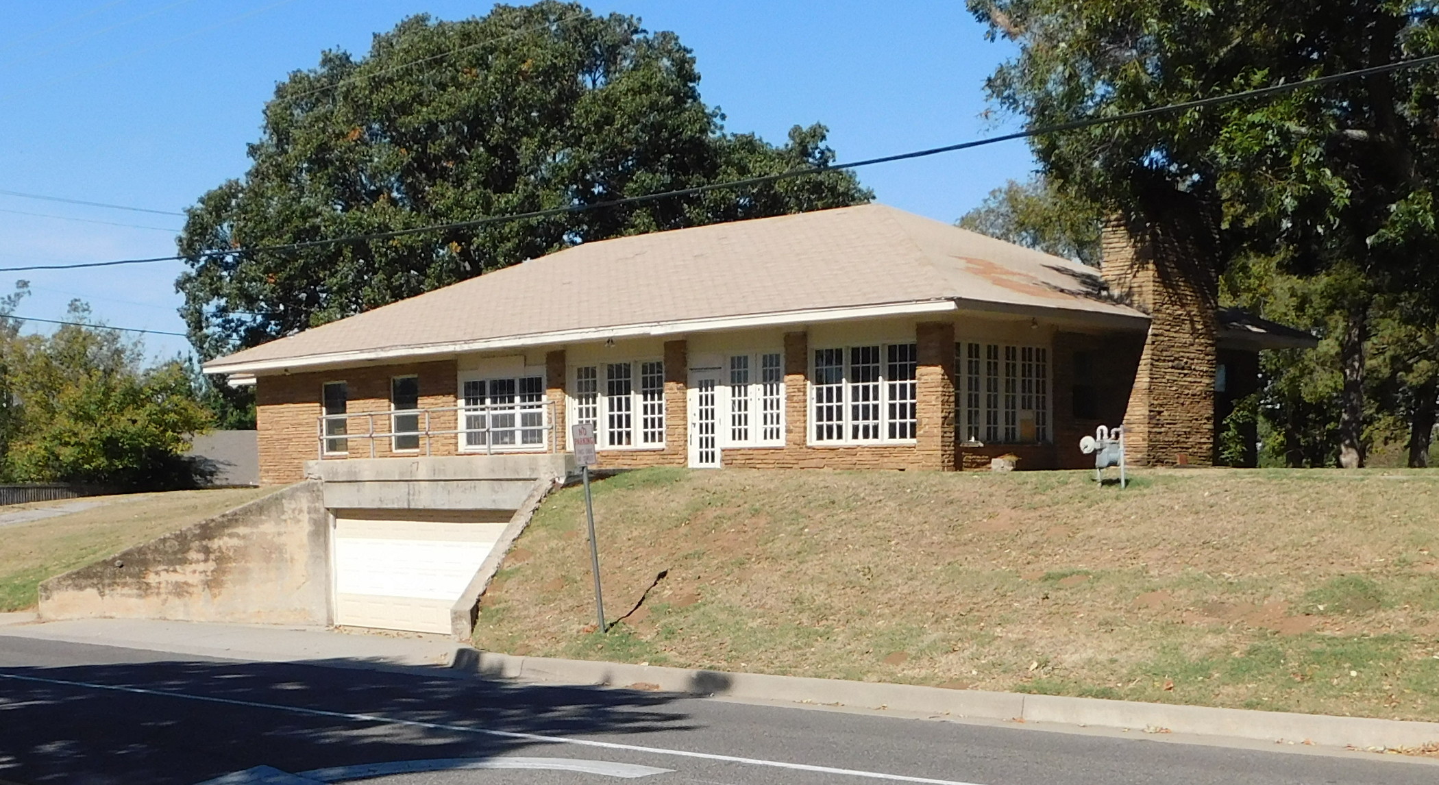 From that bridge crossing I decided to head back across the Metro starting via NW 30th. As you might expect, the lake shore is dotted with expensive mansions, but this municipality (Bethany) has been here a fairly long time, and there was a surprising array of really nice old houses that weren’t so ostentatious.
 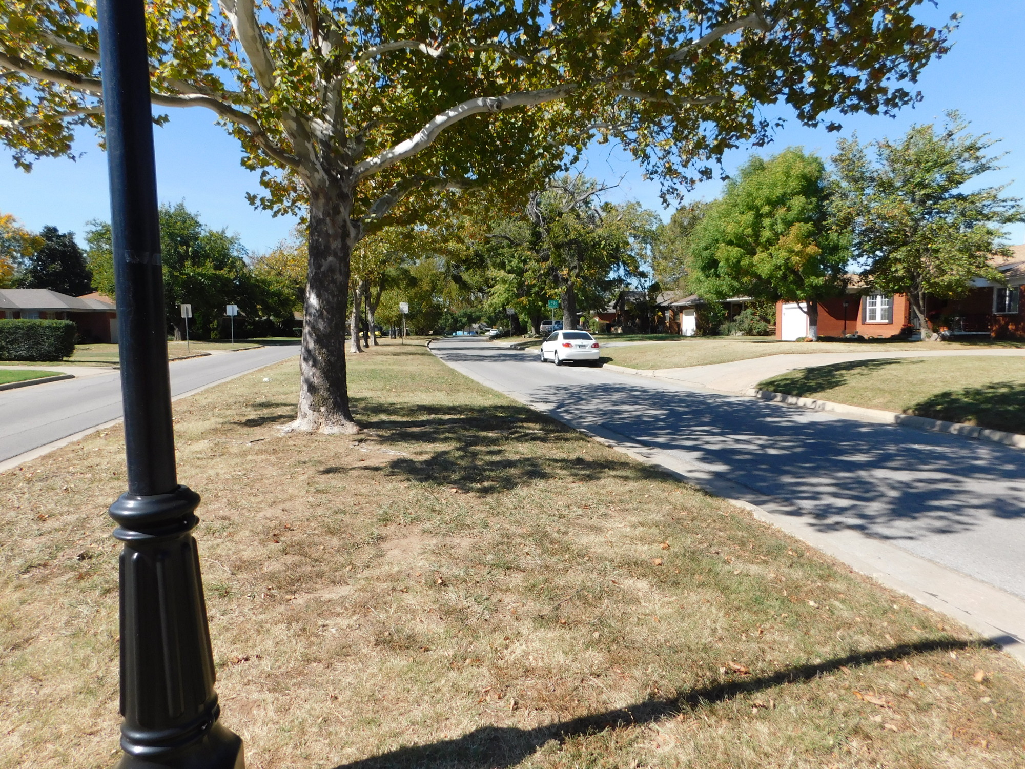 NW 30th was a nice straight route for a couple of miles without much traffic. At MacArthur Boulevard, I dropped south to NW 19th because 30th ended in a park. This took me outside the Bethany city limits and through a somewhat rougher area. However, just another mile east, NW 19th picks up the old routes laid out for the old electric trolley system we once had long ago.
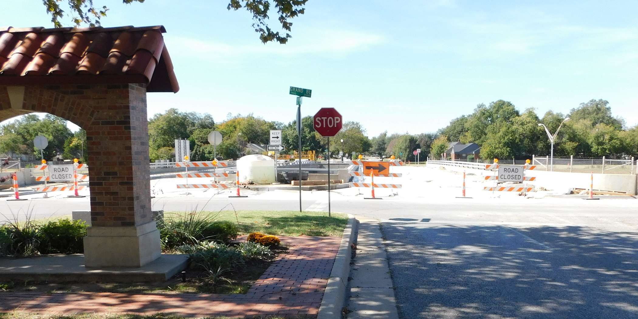 These are nice, swooping curves with a divider in the center (image above right). This series of connecting swoops are now all marked as official bicycle routes, a quiet and peaceful way to get downtown.
However it was blocked at Interstate 44 with construction (above left). And the service road was one-way south. The next overpass south was also ripped up the same way. So I did something I hate and rode north against the traffic (there was virtually none) to the main thoroughfare at NW 23rd, crossed through some slightly less obstructive construction and then came back around on the backside of this because it made for a better picture from that angle. Once past the obstacle, it was a pleasant and fairly quiet ride. Most of the housing was decent, but multifamily. This old block of apartments is under renovation, but I think it’s just one guy working with a helper, likely the new owner. They were boarded up for some years.
 As I progressed eastward, the route drifted continually southward by increments. By the time I hit downtown, I’m on NW 5th. I can recall driving a taxi 20 years ago and seeing some pretty rough housing out on the Classen strip. But in this image (left) you can see those days are gone. This trendy thing on the right used to look far worse than the old Town House hotel on the left, which is under renovation now. Back when I was driving a cab, the Town House is where guys went to find cheap hookers. But those yuppie loft places are spreading like cancer all around the periphery of the downtown district.
 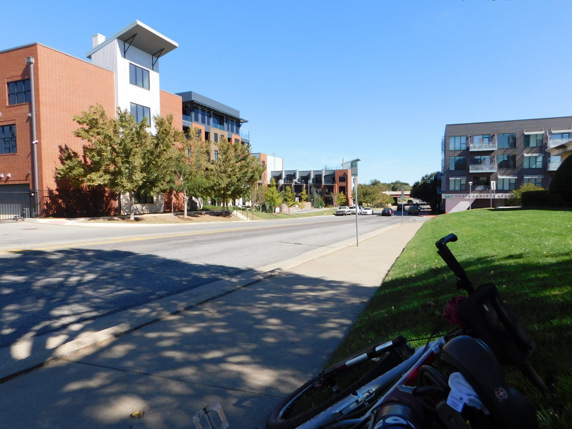 This last shot shows NW 4th just north of Bricktown. I had stopped to rest on the side of the historic Irwin Building (currently up for lease) because a nice shade tree called my name and I was very tired. All these yuppie lofts were built new and run for blocks around the area.
After a quarter-hour on the cool grass I was feeling better and made the rest of the way home on 4th Street. I’m thinking of trying to get some tires with a less aggressive tread after this winter, because what I have now offers a little too much roll resistance.
Nice trip. Thank ya, thank ya. Amen.