
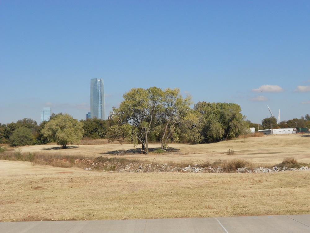
 Here’s another look at the OKC skyline over some trees. I was standing near the middle dam on the Oklahoma River project. Off to the right is the Scissortail sculpture, marking the southern end of Scissortail Park.
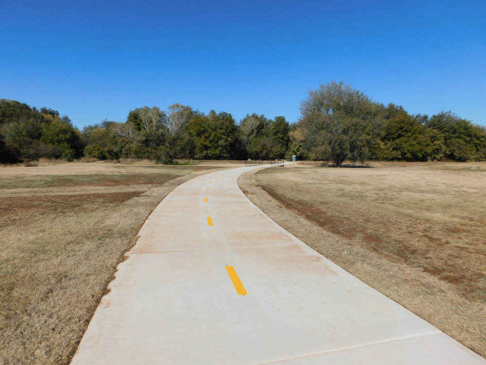 Midwest City is pretty active still with their bike trails planning. A couple of weeks ago they opened a new trail that runs northward along Soldier Creek after it passed through the Barnes Park system. The trail runs up to something called Mid-America Park. It’s a small spot along Soldier Creek with virtually no place to park. It was meant as a strictly local neighborhood park back when families owned fewer cars and walked more.
 Plans for the trail system indicate it will extend farther along Soldier Creek until it joins another proposed trail along Crutcho Creek, into which Soldier Creek empties. This shot is the last corner of the park where you can look in the direction the creek flows away.
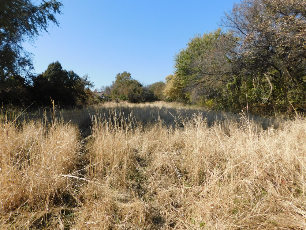 This field used to be mowed for hay, but it hasn’t been cut in a couple of years. The field stands behind a row of houses; you reach it by following a path through an empty lot that never saw a house. Nothing was built because the developers had to leave access for whomever owned that field. Anyway, the path cuts across one end of this field.
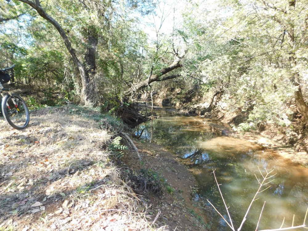
 From that last view, pivot to your right just about 90° and you’ll see this railroad bridge where Soldier Creek turns back north. That path runs under the left side of the bridge, and it’s almost rideable on my bike. Midwest City’s plan calls for a path to run along the bank from the park and under this bridge, which is just a hundred yards from the park. I followed the existing ad hoc path and it took me to the SCIP Trails I used to ride once in a while. The path I took runs right into the last third of the Blue Loop.
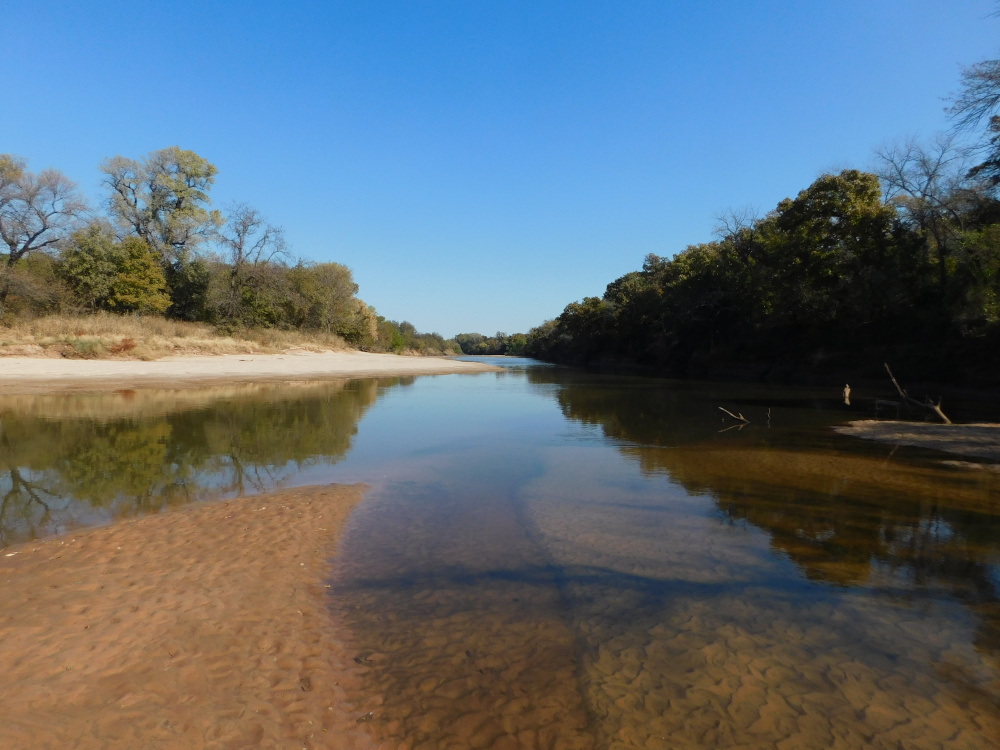 Once I left the SCIP Trails park, I went east to Midwest Boulevard and headed north to one of my favorite prayer chapels on the North Canadian River. I haven’t been there in quite a while. The river was way down and there happened to be a substantial sandbar just below my chapel at the mouth of Crutcho Creek. I clambered down and took this shot at river level, looking downstream.
Later today a huge rain system should move in, dropping some 2 inches of rain in the next 24 hours or so. The river bank near my chapel shows signs of cutting during high water a month or so back. If it continues, my chapel could disappear and the Crutcho could get a new mouth, because that cutting is right where the creek and river nearly converge before the creek snakes away again.