
 Here’s the map of today’s ride. The pale blue numbers indicate the officially numbered points; you can find poles in the ground with the numbers to match them. Don’t ask me to explain how certain features became numbered points and others didn’t. The pinkish numbers indicate where the pictures were taken in numerical order following the map itself. You have to click the picture and enlarge it to see the markings (CTRL+click to see it in a new browser tab). Also, keep in mind that the lake fill has been extremely high for about the past year, so the pictures will reflect unusually high water levels. This was a very long ride and it took about four hours to get back home.
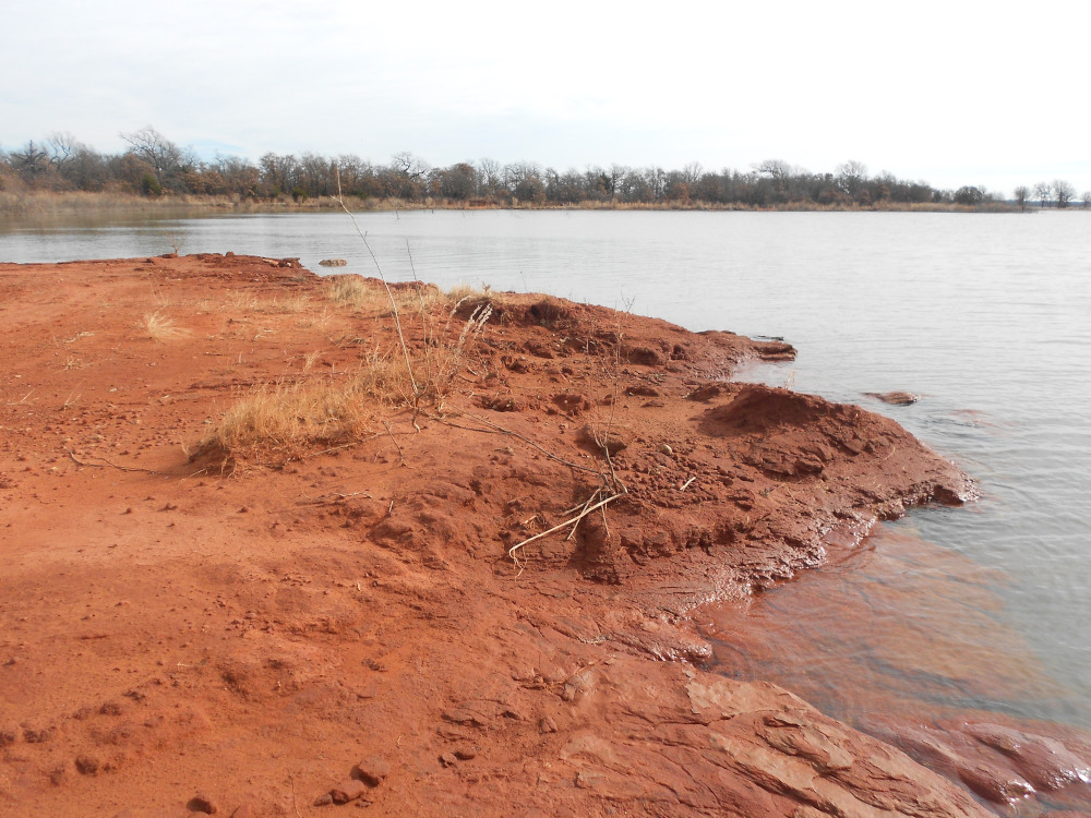 This is what the tip of Point 2 looks like. Two years ago a great deal more rock was exposed. This was quiet today because the wind is from the north, and the land points south. Recent rains have made the ground just a little soft, and I waited two days before riding out this way. But this isn’t the half of it.
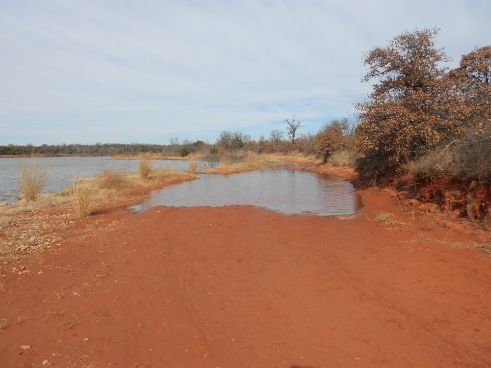 In the image below, you can see how I had to drag my bike through the brush on the high ground to the right because there was no safe footing past this flooded area. The water is above the road level. It was a chore, because that underbrush is very thick. These roads are typically open when it’s not too bad, but as long as it’s like this, the access gates will remain shut for a long time.
 This is what the east side of the same point looks like. The bike stands where I came out of the brush. There was nothing resembling a trail at all; I just took the path of least resistance. Then I took my time wandering around each stopping point. On this eastern side of the point, the water was making just a little bit of noise, driven by the moderate breeze we had today.
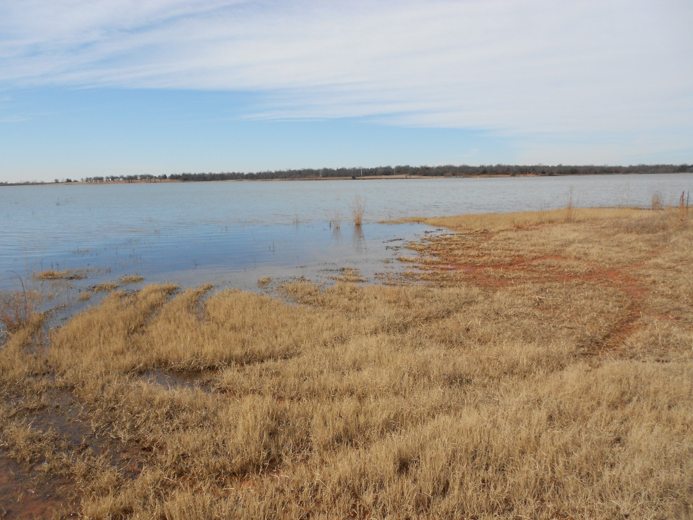 By contrast, this is Point 3. It’s just a swampy grassy spot; all the rock formations are underwater. I ran across several more of those flooded spots, but nothing so bad as that first one on the way to Point 2. However, you must understand that the very long route between Point 3 and Point 4 was just beautiful. I dawdled lots of places, just enjoying the sound of water slapping against the rocks on all of those miniature points that have never been numbered.
 This was just a rounded bump jutting out into the water. If you look off the left edge of the picture, there is a small tree standing way out in the water. If I remember correctly, when the lake was a lot lower, there was a series of exposed rocky outcroppings that you can hop until you got out to the tree. There was a fellow in a flat-bottomed fishing boat that was carefully watching the bottom as he drifted around on his troll motor in the vicinity of that tree.
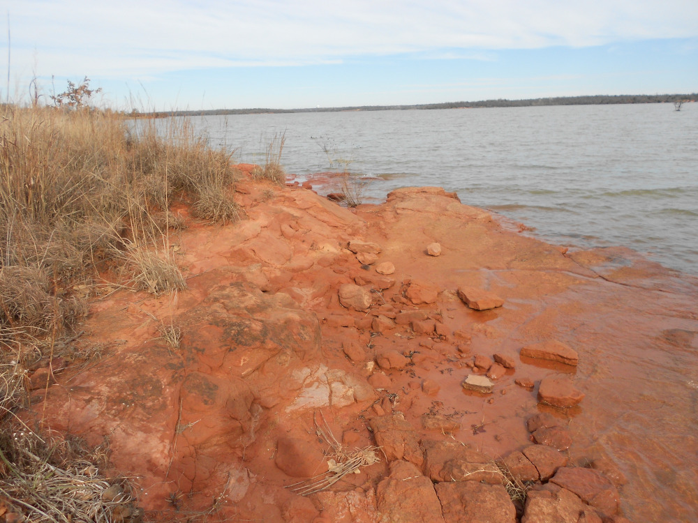
 Another rocky spot; this one shows how substantial bedrock reduces shore erosion. Farther down the shore, the high bank was washed away until that same rocky underlayer was exposed, reducing the erosion dramatically. That small tree almost falling in has been hanging like that quite some time, and there is no sign of soil collapse in this area.
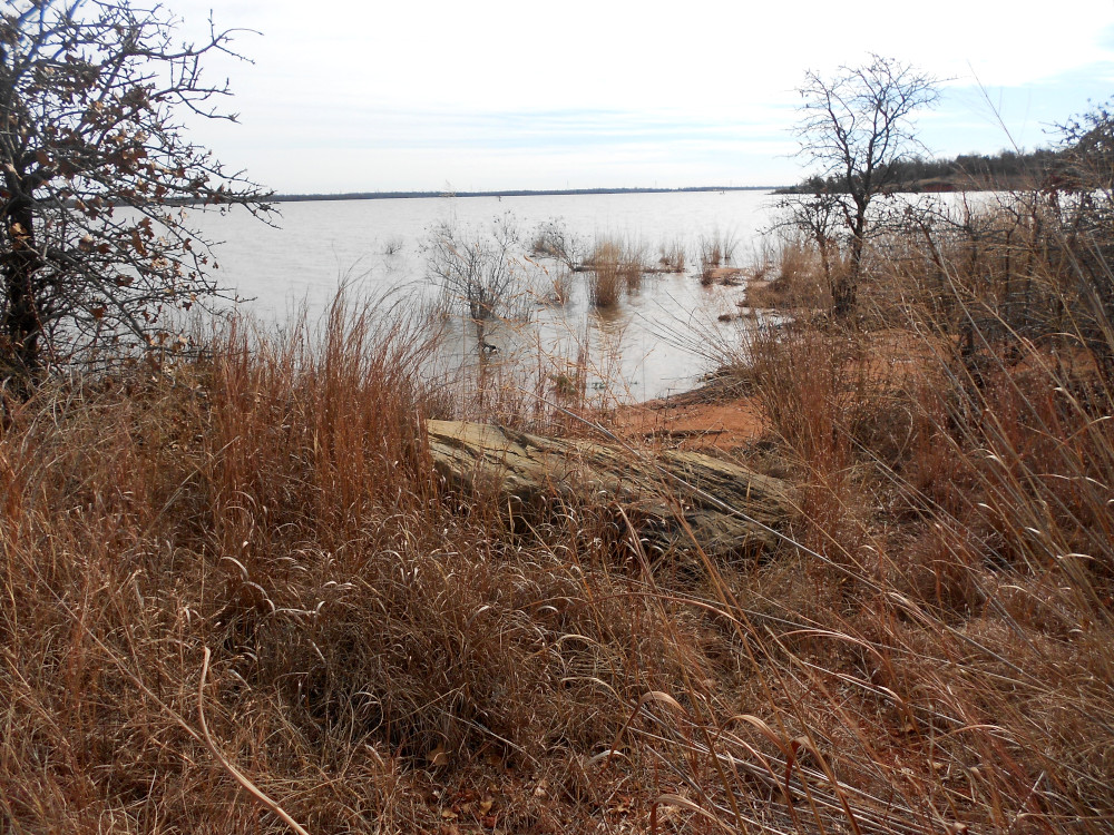 Farther along the shore trail, I can’t say whether this rock was placed or if it was there all along. Way back when the shore trail was open to motor vehicles, the Parks and Recreation crew had moved a lot of very large rocks around and dropped them in odd places like this one. Still, it made a nice shot, showing how the erosion has been slow at this spot. The trees and grass do help hinder the washout, but there were some rocks just under the water farther out, so the waves don’t rise nearly so high right here.
I’ll post some more images tomorrow of this long ride.
Man, these feel like they were taken on a different planet. Of all the places I’ve lived, none of them have looked like this.
You are likely to see more like this in the Central Plains states.
Wow. Y’all have some red clay now, don’t you? We have some here in places. Not in our yard though which is mostly sandy loam. You are blessed to have such a beautiful area and trails in which to ride.