
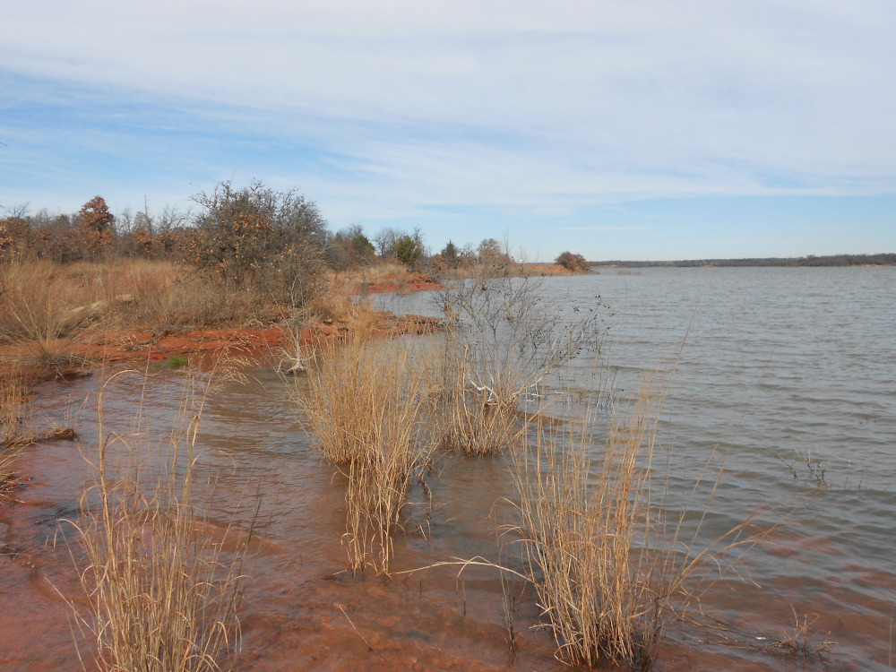
 We begin where we left off with yesterday’s post. On the map, this first one is image 08. We are looking across a small cove with yet another feature of the high lake level. The grass and shrubs don’t normally grow down in the water itself, but the water crept up over them after the warm weather that gave birth to the grass. We started this last spring with the water just a few inches lower.
 I was quite mesmerized by this tight little cove, almost a natural boat slip in the shore. It was caused by water run-off cutting away the rocks on either side back when the lake level was much lower. Because of the odd mixture of erosion from both directions, this little spot made some funny slapping sounds as the wind whipped small waves against the shore. There was no way I could avoid capturing my own shadow.
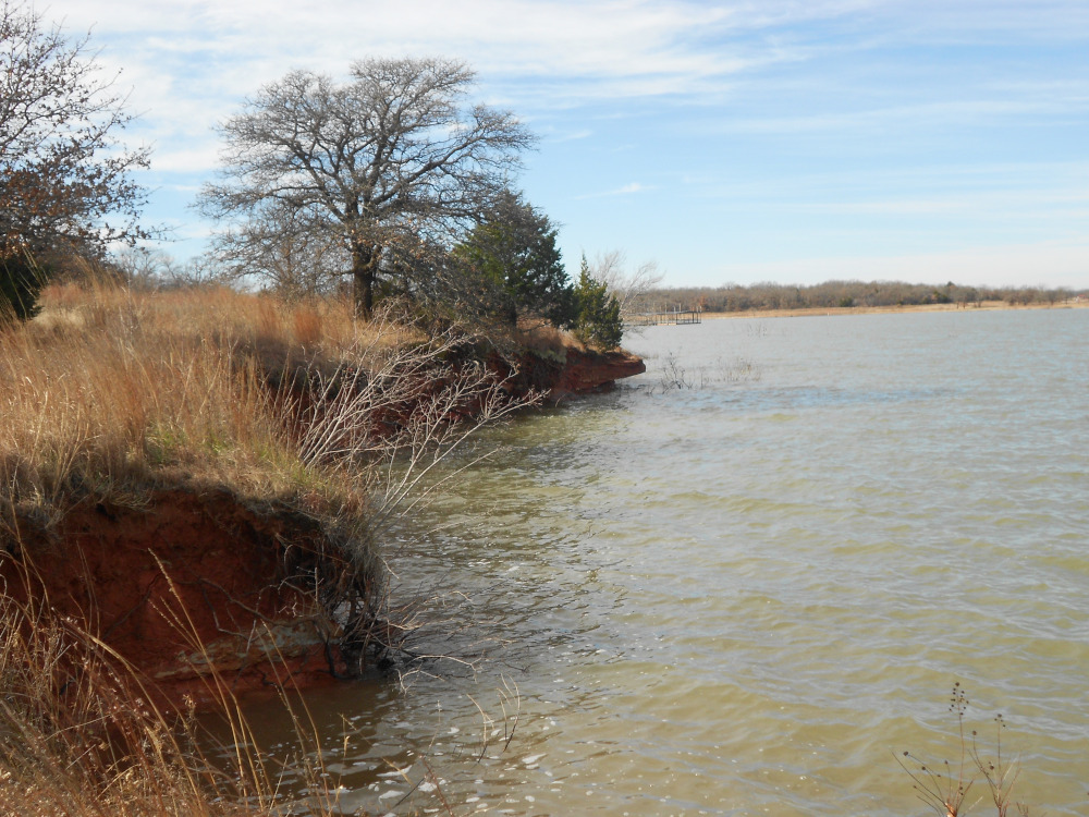
 I distinctly remember this bank was a lot wider a couple of years ago. The high water erosion took a big bite out of this spot because of the lack of protection at the baseline until it finally started hitting bedrock. There is now exposed a thin shelf that drops off quickly. For quite some distance there stands this very thin high bank topped with grass. The road on the left side had been cut through years ago, and is now a low spot that holds water much of the year.
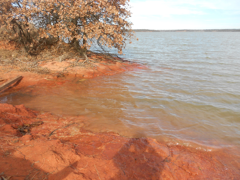
 This is another example of rocks exposed first by washout during lower water levels. Now it’s a very lovely spot in the high water. The black stones are not an anomaly; the same sandstone that is mostly red has streaks of this black coloring in lots of places. I don’t know the geological details, but the black stuff, once exposed, tends to be harder than the red. I’ve seen places where the red turns almost purple, but those tend to oxidize back to red with time.
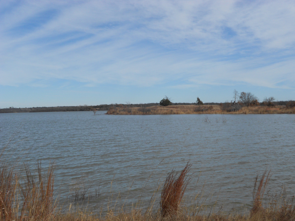 Looking across this cove, we see a very large hump that formed a small point that never got a number. You would be hard put to climb up from a boat if the water level was lower, because most of the point is almost a cliff all the way around. However, with the exceptionally high water level, it’s not apparent from this angle. There wasn’t much to photograph while I was out exploring that hump, but the central core is exposed bedrock up to the top, with a very thin covering of grassy soil and a few trees clinging in deep pockets.
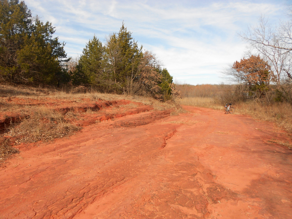 Here is an example of exposed bedrock cut by heavy equipment decades ago to make this shoreline trail. Some folks older than I lament the change in the past decade to a much higher level of conservation. There is evidence of motor vehicles still using this particular trail between Points 3 and 4, but not very much. It would have to be a high clearance 4×4 able to cut through a spot in the woods near the gate that has been closed for quite some time.
 Finally arriving at Point 4, this is the numbered point itself, quite some ways from a more accessible dock, just visible in the background. There was once a couple of picnic tables out here. This point suffered a lot from high water erosion, but left an overhang just visible in this shot. This is another point where a bluff runs around almost the whole point. I’m standing on an exposed rocky spot that just barely allows one to clamber down close to the water.
That’s the end of my collection this round. Most of these spots on and between the points had been mowed decades ago, and small trees were kept out. Much of the foliage visible now in its winter dress was not allowed to grow so wild until the big shift to conservation that closed the roads and saw the off-road bikes kicked out of the main lake area.