
 As promised, I got a shot of the current end of the new bikeway OKC is building on the north bank of the North Canadian River. For now, it ends at NE 4th Street. Off camera to the right will be a parking lot, and the trail will run west along NE 4th to connect with the Katy Trail. I believe they still have plans to keep running the trail northward along the river, but that’s all I’ve heard so far.
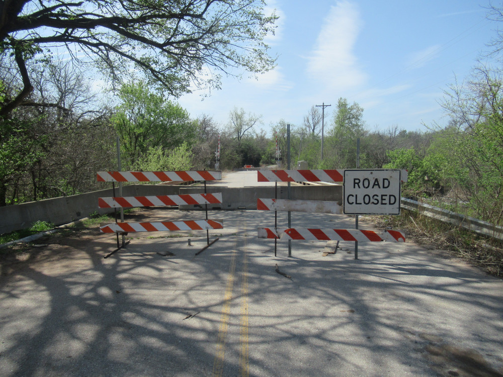 The supposedly closed bridge from the north side at Crutcho Creek. It’s a little harder to get across than last year, but not much challenge on a bicycle. There’s still no apparent damage, and I suspect OKC has some other plans at work here. They had just purchased some land adjacent to the road here, and plan to develop it for recreation.
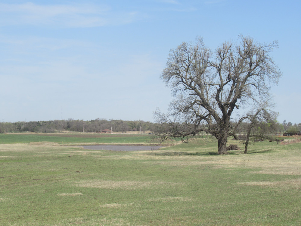 The rest of these are experiments in things like framing, alignment, focal length, etc. I’ve tried several times over the years to capture this stock pond with the huge tree next to it. I believe this one looks better than my previous efforts. This is off North Midwest Boulevard some distance south of NE 63rd Street.
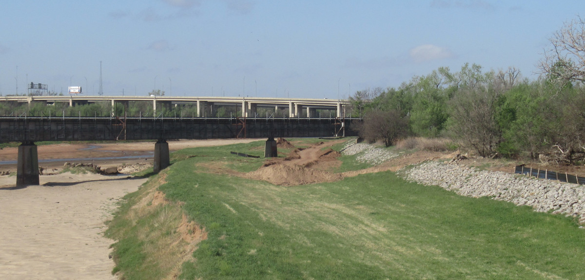
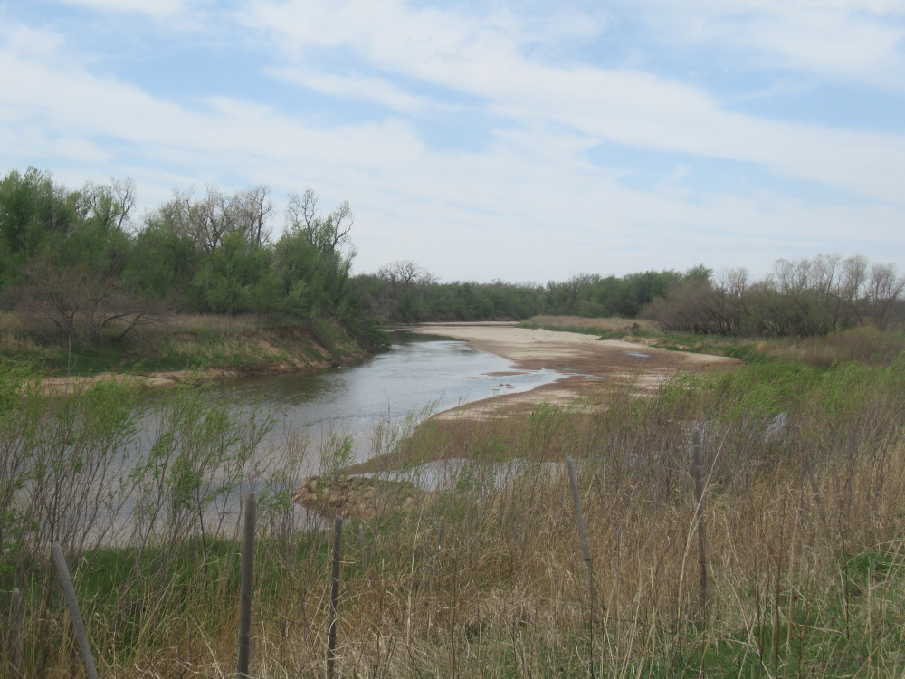
 This is hydrology 201: The stone rubble running across the river to the little sand bar island was once the rip-rap covering on the river bank they tried to preserve. A few years ago we had one of those 50-year floods that wiped it out. The North Canadian River has meandered for centuries. Right now it’s trying to drift east, and folks are trying to prevent it from cutting under the roads.
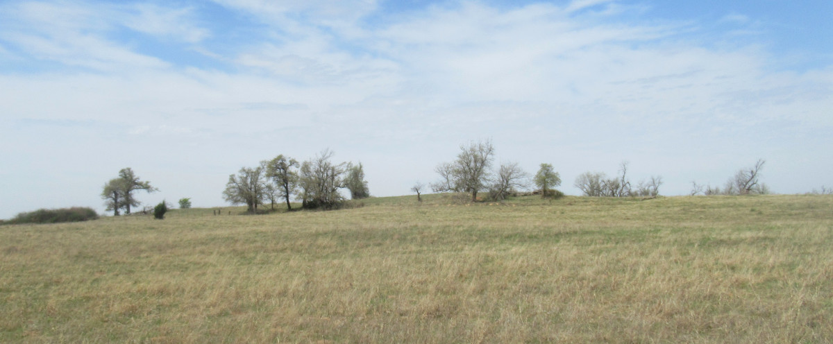
 I just barely succeeded in capturing this one. I was looking at the way the close and distant ridge lines contrasted. These are the two highest points of the banks above the North Canadian River, less than a mile apart, somewhere close to Hefner and Post Roads.
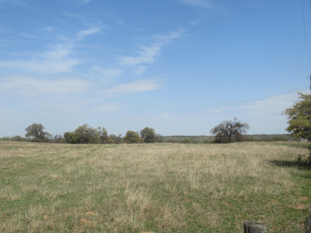
 The only point here (below) is the trees standing atop a low ridge. This is a livestock pasture and there usually aren’t that many trees left standing when these fields are cleared. Quite often in the summer, during the heat of the day, you’ll see cows clustered under the shade here.
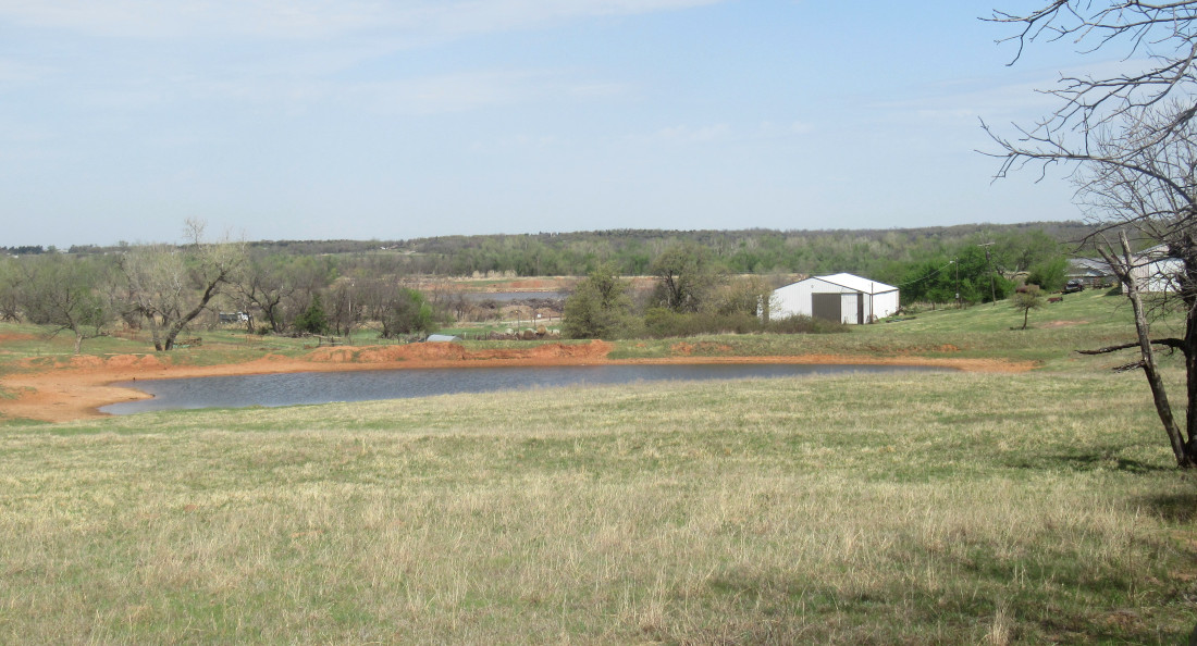 This is another look down the steep slope toward the North Canadian River. There’s a stock pond up close, but then a sand extraction pond down lower. The river is just beyond that in the trees.
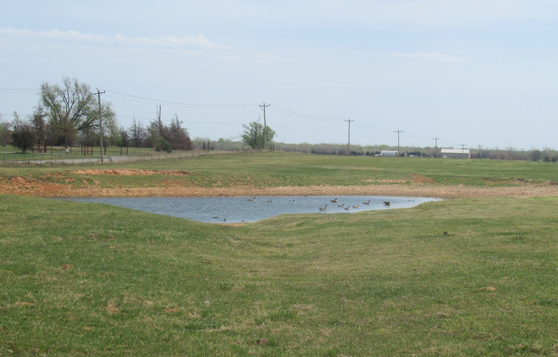 Canada Geese are hogging this little stock pond just off Hefner Road at Midwest Boulevard. Not that anyone would notice; the cattle are off in another pasture somewhere. A few years ago the landowner tried to make this pond bigger, digging it out and pushing up the embankment higher. However, it’s still just about the same size it always was.
 A decade ago I was able to get this angle, and then Parks and Recreation closed the gate and planted a bunch of stuff here. Finally, the gate was reopened last year and hasn’t been closed since. Still, this is the best time of year to come out along the river bank for this shot. Once it warms up, weeds grow over head height and obscure the view. We are looking upriver of the North Canadian River just off Midwest Boulevard.
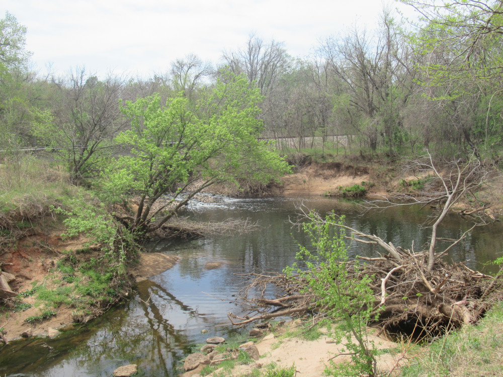 This used to be a popular fishing spot, but very few people even see this right now. I’m standing on the bridge that is supposed to be closed over Crutcho Creek. Lately the water hasn’t been quite so visibly polluted. It used to be rather brown, almost like coffee, until the past couple of years, so I guess something good has happened upstream.
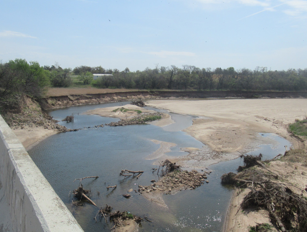
Are sandbars a common thing there? Looking at your penultimate photo. Never see them here in our Pgh rivers.
On this river, yes. The way it seldom carries that much water, and then is suddenly rises for short periods, we get lots of topographical shifts in the river bottom. This one in particular was the result of the river washing so very hard against the road bed.