
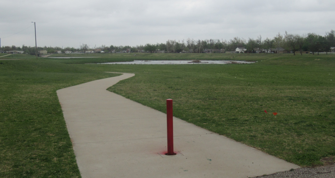
 I took some longer rides this past few days. The first was the Grand Boulevard Trail and connecting to the River Trails. This is the new catch basin built to help reduce the threat from Lightning Creek. It was here before, but it wasn’t this deep or wide. Lightning Creek catches tons of run-off from many square miles of paved surfaces in south OKC, so it can flash flood and has killed a lot of people who never saw it coming.
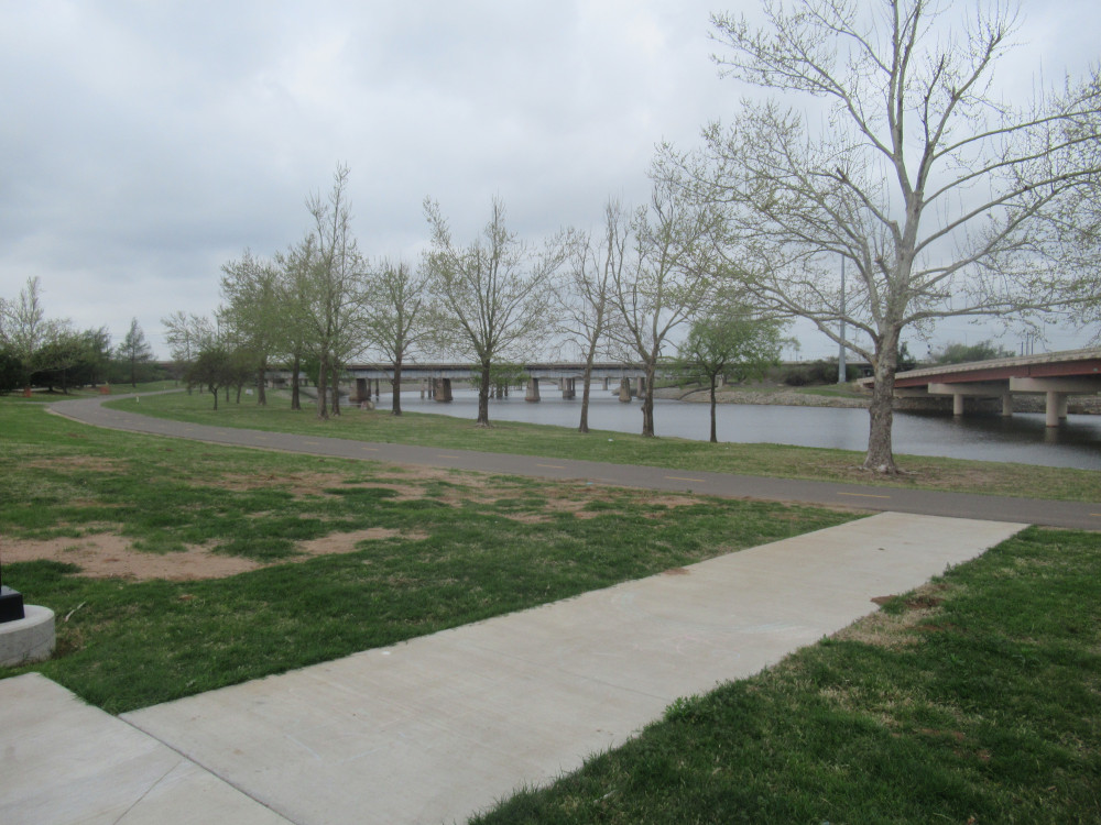 This was just an eye catching alignment of features along the OK River Trail. I’m sitting on the south bank near the SE 15th Street bridge looking upstream. Despite the overcast skies, I thought this was a winsome view.
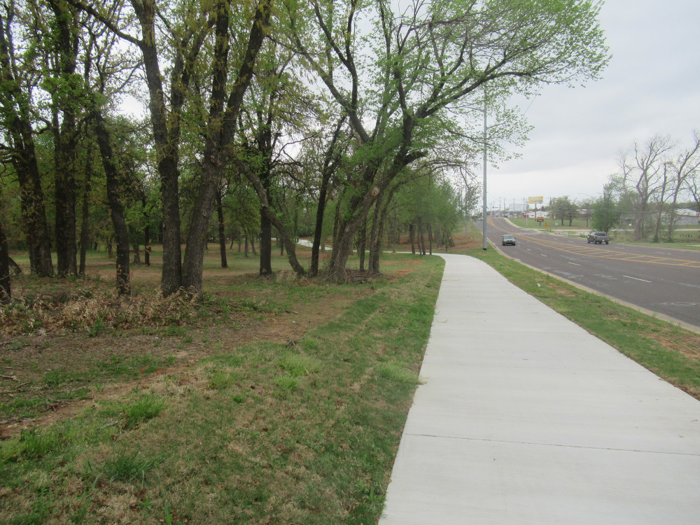 Midwest City (eastern suburb of OKC) has been busy with bike path development. This (below) is the new Palmer Loop where it begins alongside SE 15th Street. The southern entrance to the large Barnes Park complex is off camera to the right. This trail runs along the street, and then plunges south.
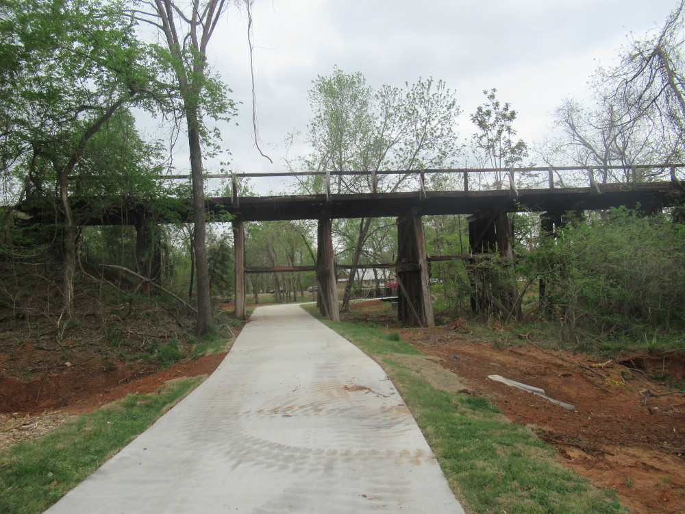 Very quickly it runs under a defunct railroad bridge (below). Then it turns alongside the northern edge of the Tinker AFB Training Area (formerly the Glennwood Addition). The Air Force bought this land because it was just off the northern end of the main runway and saw a few plane crashes. All the buildings were removed, but the old street pavement remains.
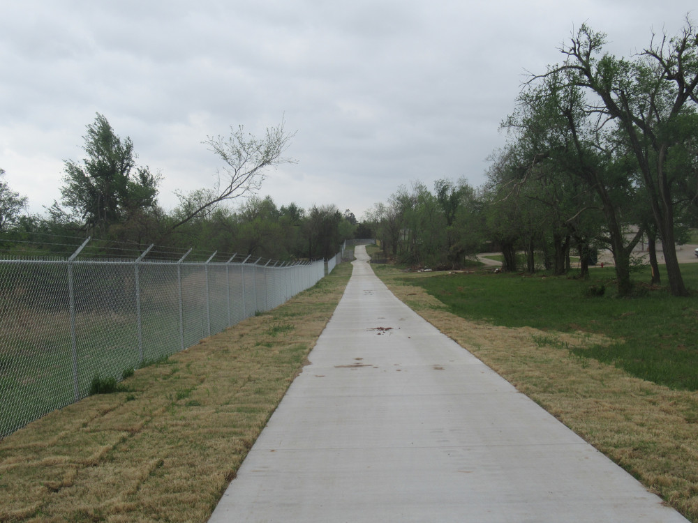 Where the fence turns south, so does the Palmer Loop Trail (below). It runs alongside the fence most of the way down to the end of the remaining civilian homes they didn’t buy up. From there it connects with some older bikeways along the southern edge of the training area. I’m thinking that the “loop” designation indicates they plan on building a path along the eastern side, too. The city already owns a lot of property out there, so I’ll be investigating for signs of future work in that area soon.
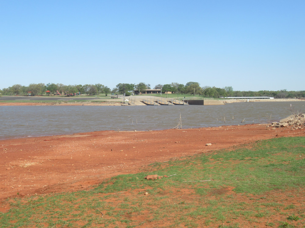 Today was the Draper Lake loop for me, about 30 miles long. Since the last time I was out here about 6 months ago, the water level has dropped 6-8 feet. Here is a view from the shore across from the marina. I didn’t seen any boats on the water today. It doesn’t look that hard to get a boat into the water, but I suspect the lake is closed to boating right now.
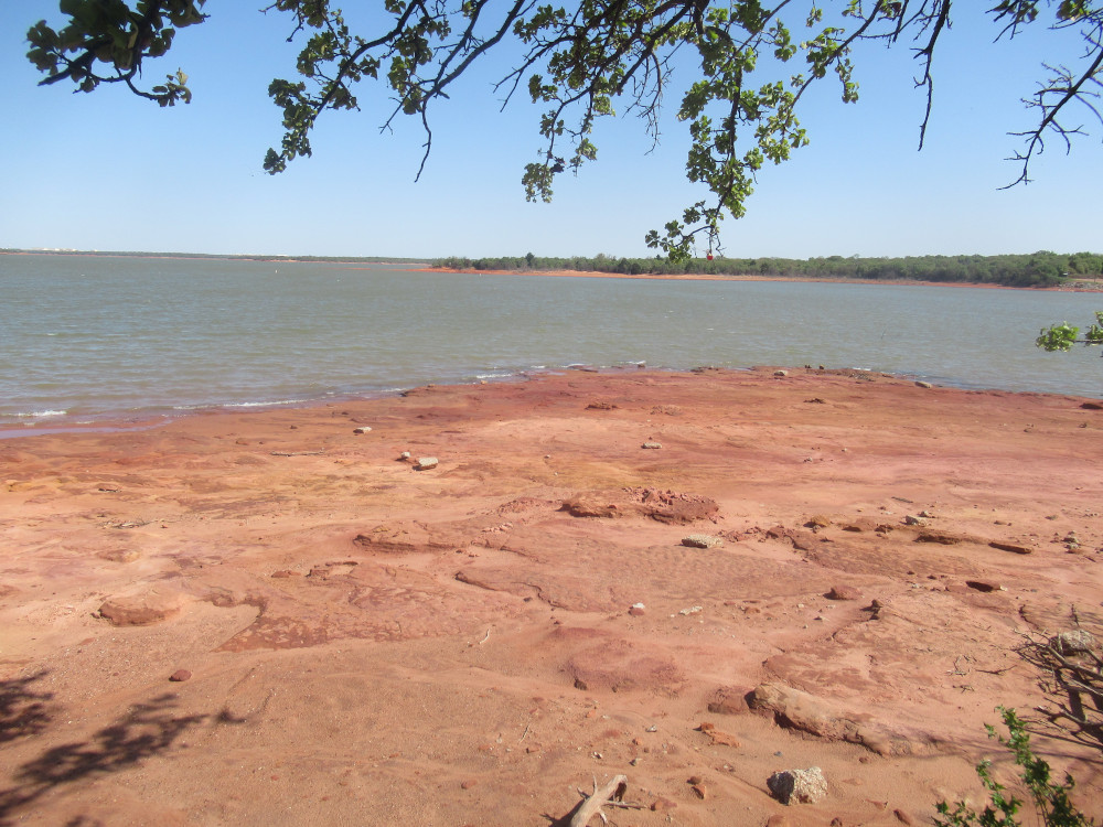 At the far southern end of the lake I often stop for a snack and prayer. Here (left) the low water level exposes the sandstone formations normally hidden under water. They have softened and worn away, of course. They used to stand up fairly high in places. The last time water was low enough to expose some of this was several years ago, and it wasn’t this low.
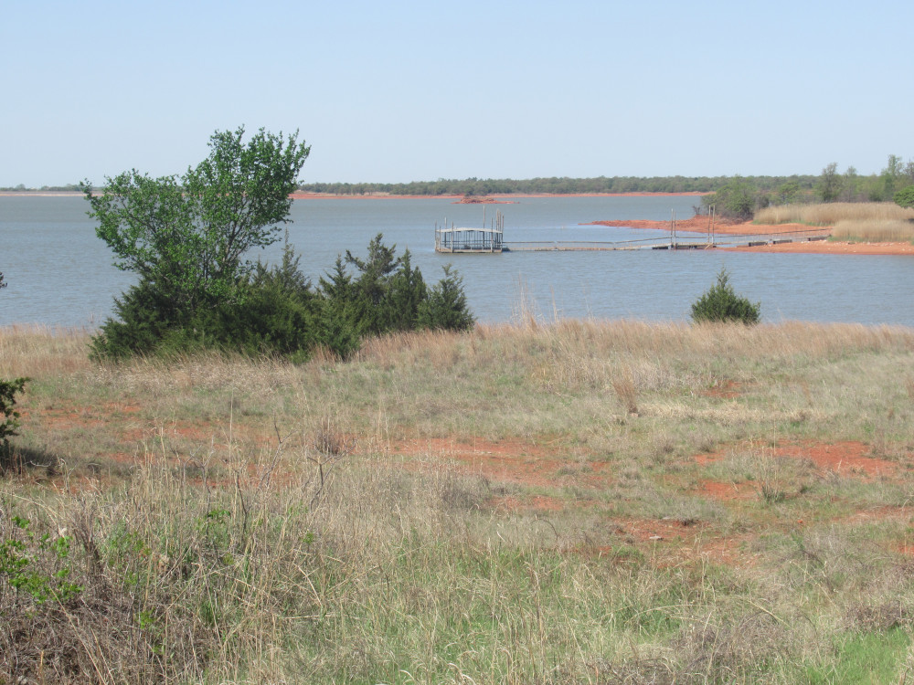 This (right) is the fishing pier just off Point 19 of Draper Lake. Normally the whole pier walkway is afloat. Looking back beyond this, directly above the pier in the photo is the only real island in the lake.
The crossbeams on that railroad bridge look awfully low to the ground. Yikes.
Yet they are high enough that I would have trouble touching them when riding beneath.