
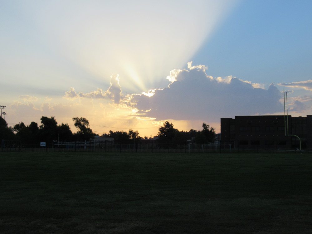
 I left the house around sunrise. The clouds were just starting to form a rain cell on the eastern horizon. The sun had to rise a good bit to get past this stuff. The dark buildings in the foreground are the Midwest City High School campus. Staff were starting to show up, but students don’t start until next week.
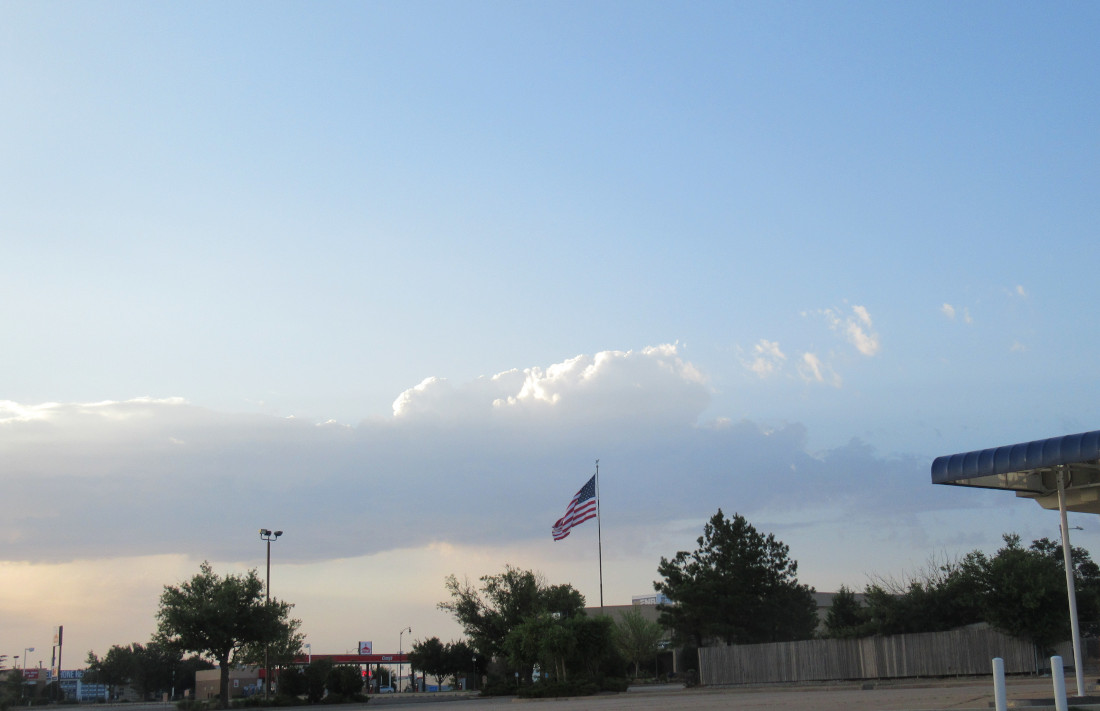 This is another edge of the same storm cell forming. As I rode south toward Draper Lake, I watched this thing rise and come to life. The cloud in the foreground is on the edge of an unstable air mass. By itself, it just rose up, then flattened, and drifted off to the south (our right). But because it formed up so quickly, I wasn’t sure if it would rain closer to my destination. Thus, I kept an eye on it during my ride out to the lake.
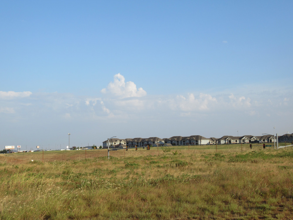 Off in the opposite direction, about twenty miles out, this was what I could see of the storms I knew were dumping rain on northern Oklahoma City. Notice how similar the foreground clouds are to the previous images. If such clouds stand alone, they are often harmless, but when they are adjacent to darker clouds, this is a storm edge.
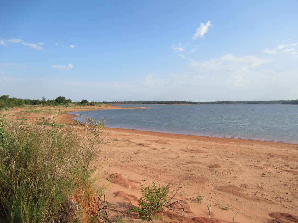
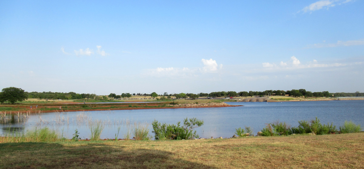 The marina is in the background. Just six months ago, this slender finger of land across the narrow cove here was partly underwater. The outer end was a sort of island. This helps to visualize just how low the water has gotten during this drought. So, as you might expect, this was the perfect time to roam the shoreline trail and see what else is exposed that most people seldom see. That was my goal today — not to ride the bikeway around the lake, but to visit isolated shore areas that require riding on rough trails.
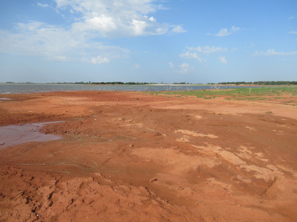
 Between Points 3 and 4 you’ll find this area that most people don’t even know about. The trails are open, but few bother to get off the pavement much. I saw just one other bicycle track from the past few days, one set of horse hoof prints, and an odd mixture of about three sets of human and dog footprints. This is one of the easier areas to reach. I’m waiting for cooler weather to visit the even more isolated shore points, lest I be eaten alive by summer insects.
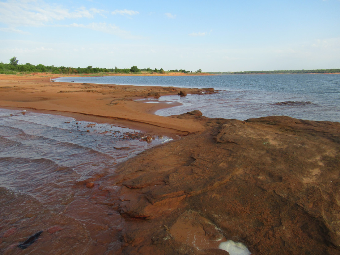 I’m standing way out on the end of a sandbar that formed between a rock outcropping and the shore. This rock had scoring from a few propeller blades across the top. Despite the rising heat, I stood there a while and absorbed the sound of the waves driven by our southerly surface winds. The sound evokes a sense of Eternity for me.
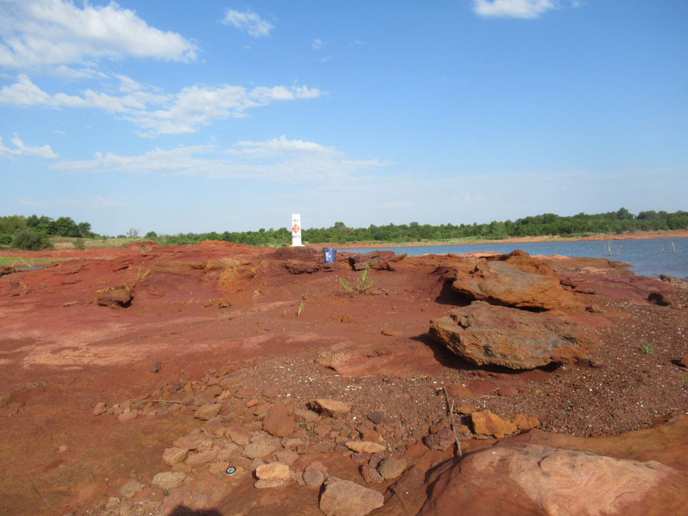 The buoy says, “No Boating” referring to the space between there and the shore. When the park services set out these buoys, they dropped the anchor on high stuff like this when its hidden underwater. The blue Lowe’s bucket is the anchor, filled with concrete with a chain set in it. The anchor is attached to the chain by a steel cable. The water level dropped so low that it left the buoy and anchor high and dry. As before, somehow a sandbar formed between the the rock and the shore. In previous years that sandbar was absent.
 This is the same rock with the buoy viewed from the shore. I saw a small fishing skiff crawl by, keeping its distance. There are far fewer boats than normal when the water is this low. Myself, I’d love to get a canoe or kayak out on the water to visit some areas that are hard to reach in warm weather, because of the fore-mentioned voracious biting insects. They aren’t waterborne.
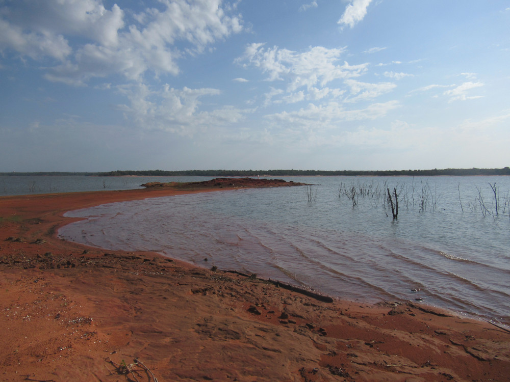
 During high water, Point 3 can be a little more dramatic with its high bank. However, with the lake so low, you get to see how placid and ordinary it looks. The slope trails off long and slow, far out into the water. There’s not a lot of rock formations, and those are all flat and unremarkable. The nearest rocks of any character are quite a ways around the shore.
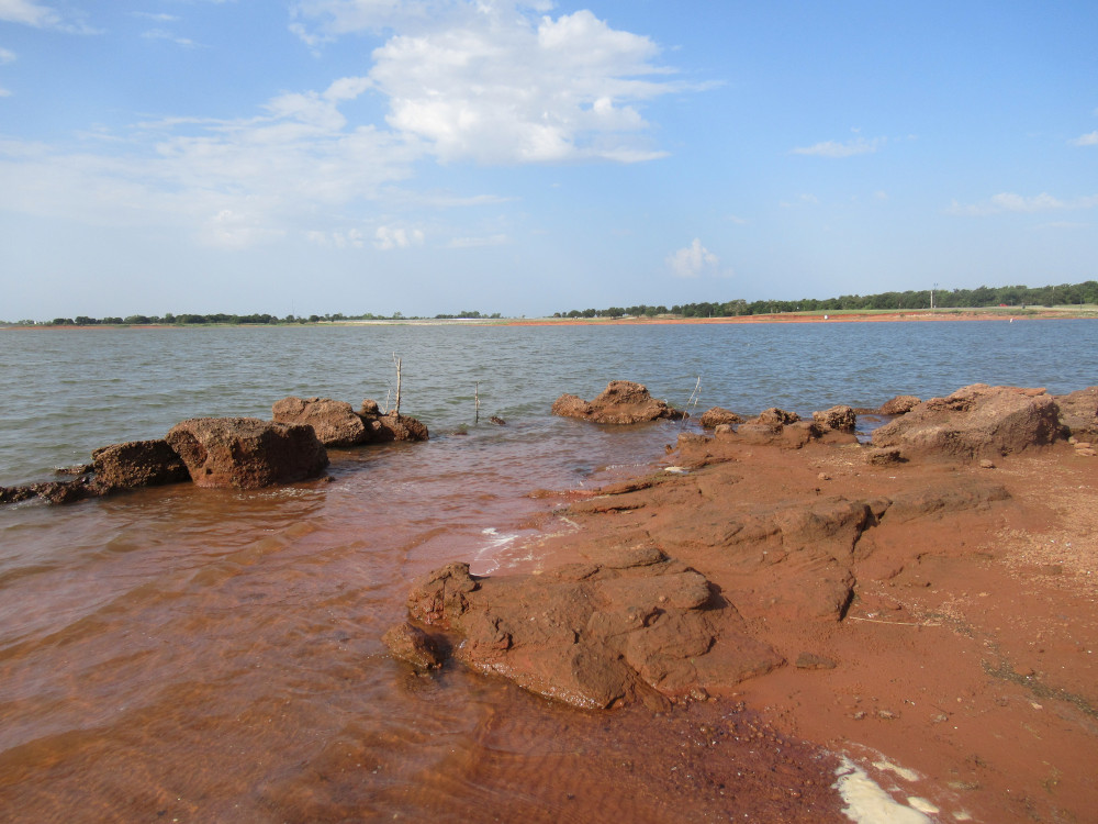 As I rode farther around the shore toward Point 2, I ran into this rock outcropping that is atypically rough. Most of the lake stones are smooth layered sandstone. This stuff is very rough, with various sizes of cavities. It reminds me of dumped wet concrete that hardened as it was. However, this stuff is dark red. It’s also what you see around pockets of rose rocks. I didn’t spot any rose rocks, but this the area I would search if I were looking for them.
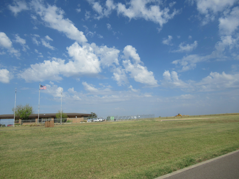 The earlier storms over northern OKC had moved off to the north by the time I finished my trail jaunt. This formation is now more like a hundred miles away now, almost invisible. In the foreground is the former police and ranger station. It’s not being used by Parks and Recreation for storage and offices. The fence runs around quite a substantial acreage where heavy equipment is parked.