
 Went out on the SCIP Trails last week and to check out the trail changes. The northern loop now stays closer to Crutcho Creek, and I was able to see this collapsed bridge that is usually hidden by undergrowth. The end closest to me is lying in the creek bed. If you stand in front it, the whole thing is almost invisible behind the trees growing there.
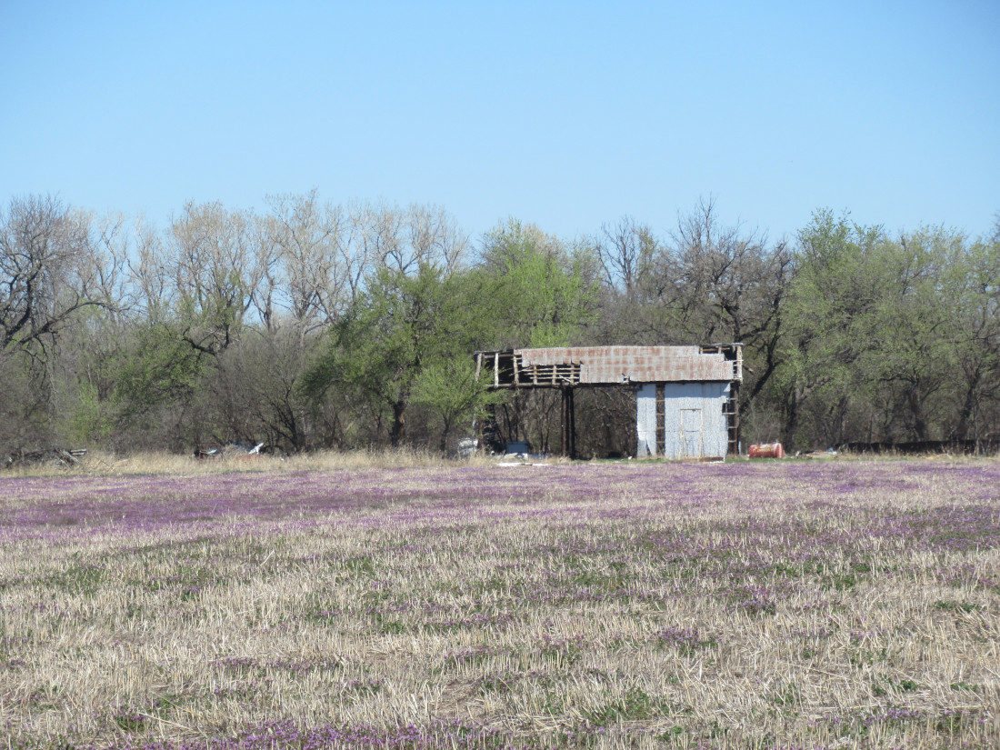 The whole area was once private farmland. The previous owner was a local celebrity of sorts, so the county bought it and preserved it. The house burned down and there didn’t seem to be any reason to preserve any of the other structures after that, so we have this barn falling down from storm damage and a tree collapse. However, the field is still used for hay, cut every year and baled to feed county-owned livestock.
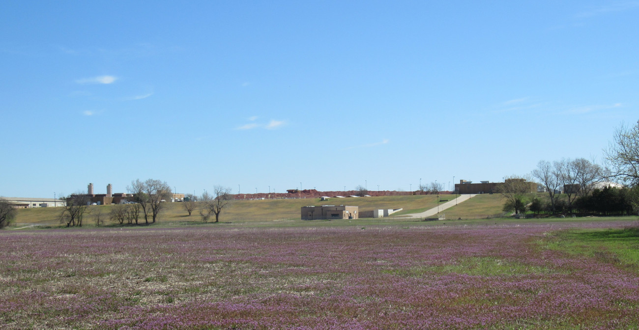 Once the county got the land, they built a lot facilities that are usually unseen by the public. Most of what you see in this shot is related to the water purification plant that extends to the left off-camera. The whole area is visible on Google Maps or Google Earth at 35.49318774228188, -97.40179495542114. Both will show some kind of shelter that no longer exists, so you can ignore that marker.
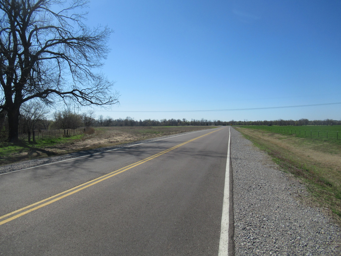 A few years ago I took shots of the area along Triple-X Road around NE 36th Street. A heavy flooding rain had caused the river to wash away some land and took out several homes. Eventually the flow undermined the road. For years, the county and Army Corps of Engineers haggled over it, until finally the road got replaced. In the image, you just barely see a trace on the ground running off the left along the fence and trees; that was the original road bed. The county negotiated for the land from a sod farm and it’s all better now.
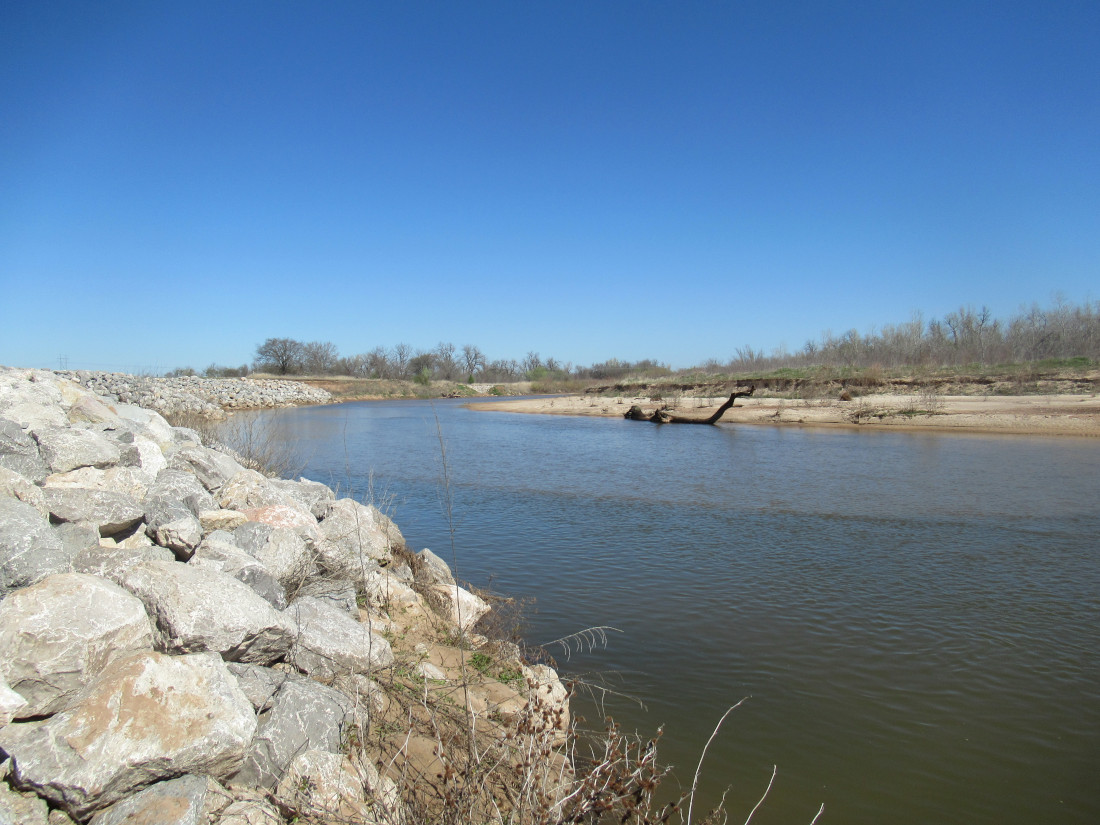 This is something you should see from satellite view. The river bank was moved back to where the county preferred it, then these four massive piles of stones were placed to form chicanes to prevent the river carving it out again. You can see it better at 35.508837820592255, -97.22980793072225. As a courtesy, Google also marked the old roadbed in gray to show how the water came right up to the edge of the pavement, which is right where the stone chicanes are rooted now.