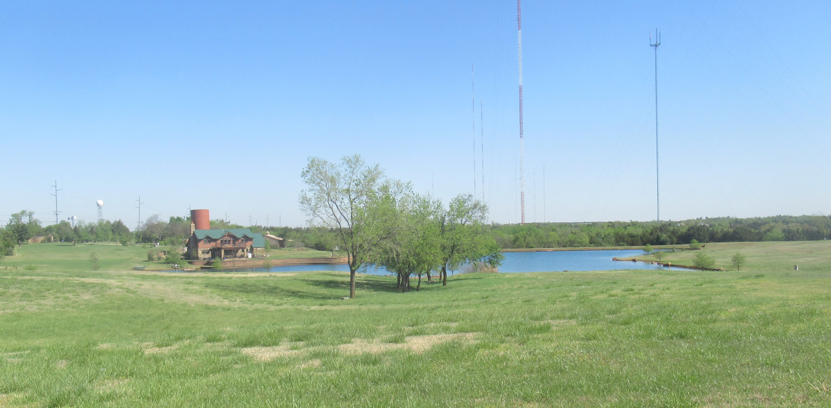
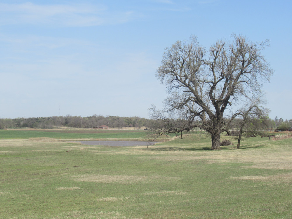
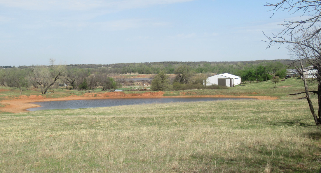
 But first, I just wanted to show this lovely little palace on previous farm land. I watched this place get built by riding past here over the years. It’s now a few years finished. I recall the pond was already there as a stock pond; they just poured a bunch of dirt and gravel on this one corner and built the house there, leaving one of the original brick feed silos standing.
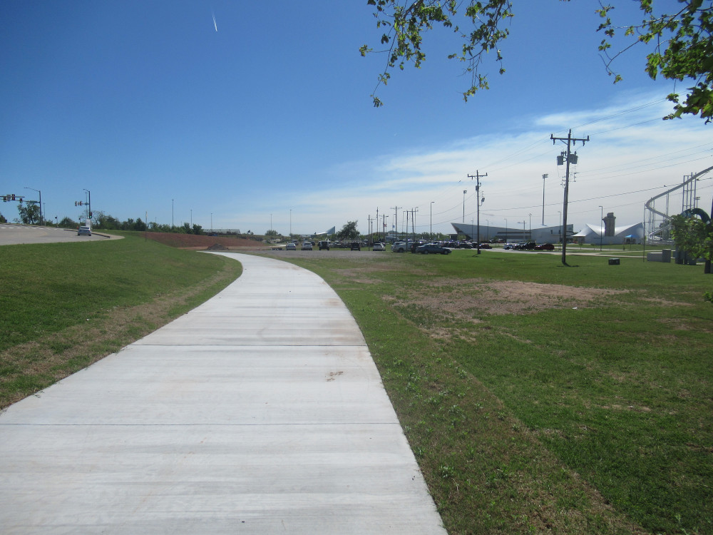
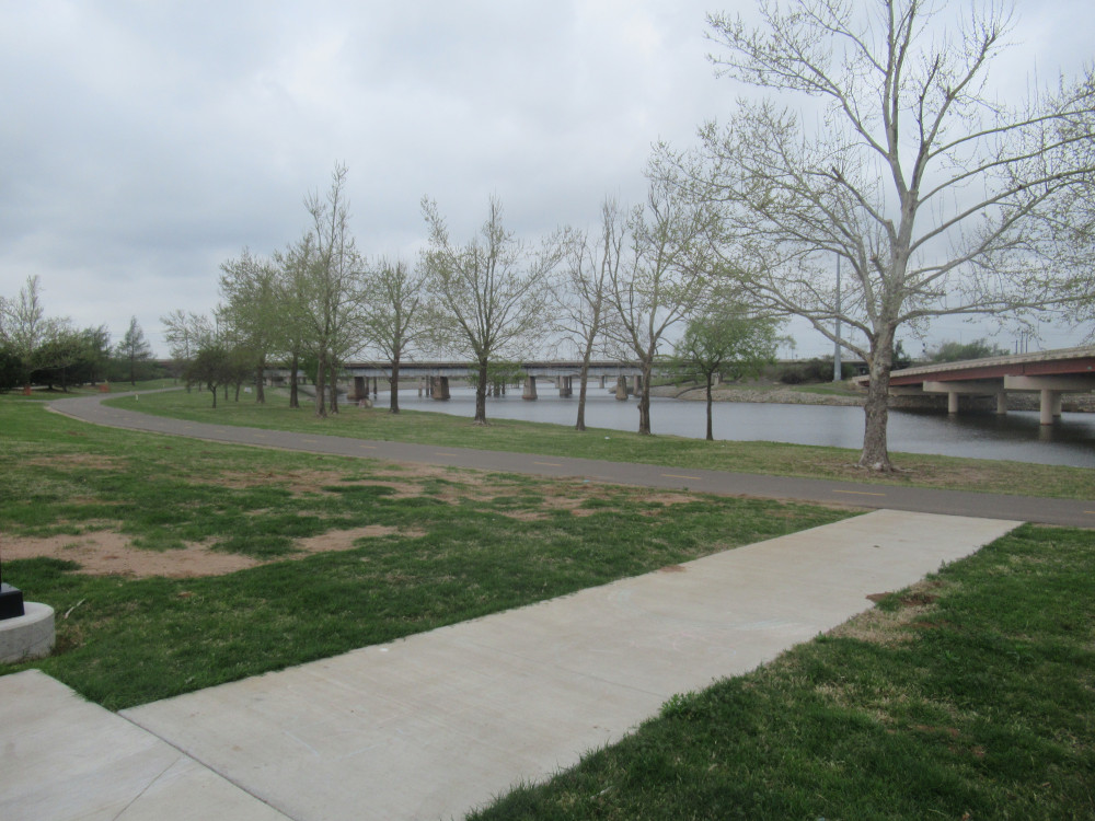
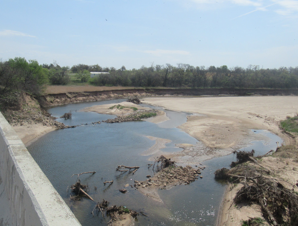
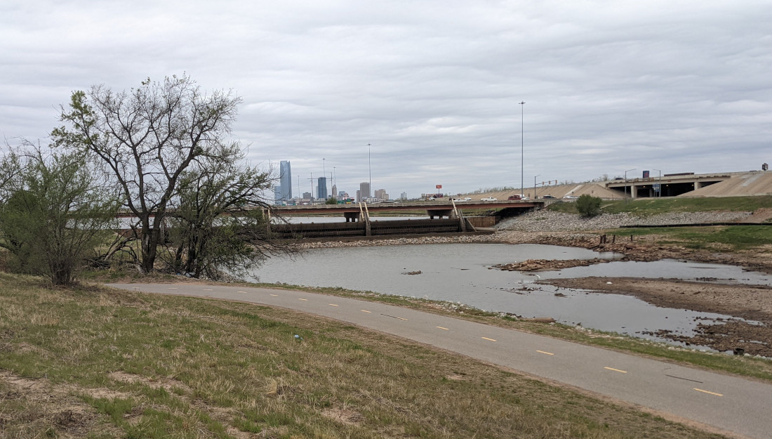
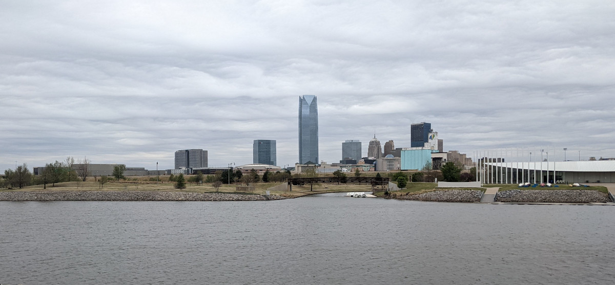
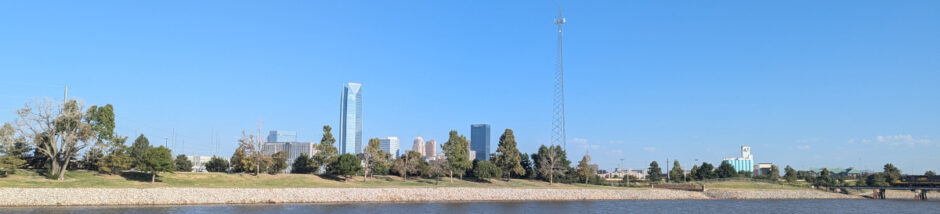
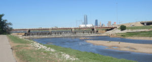 Here is the lower dam on the OK River Recreation Area. On the far side of the river is where the new bikeway will cross a very busy intersection. This could turn out to be a boondoggle. There’s already a stoplight because of how busy it is. I’m wondering how they will integrate this, because I can imagine a substantial minority of drivers not cooperating with the basic idea behind letting cyclists cross.
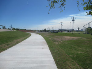 This new trail is unfinished, of course. I crossed the river on a regular traffic bridge and the bikeway begins in the Devon Boathouse District, a series of water recreation features that all cost a good bit to use. You can rent kayak, a peddle boat, ride a cable slide back and forth across the river, or play in the artificial rapids at the far end. The bikeway winds past a wheelpark (previously called “skateboard park” but now open to other wheeled toys).
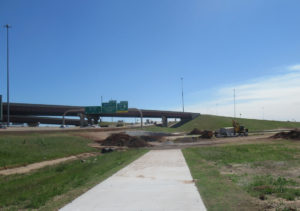 There are significant gaps in the trail, of course. The reasons vary. In this case, there is significant landscaping required, particularly being right up against a major interstate highway, plus over an existing drainage feature. That means all kinds of regulations demanding expensive accommodations. I chose to come through on Saturday to prevent having to deal with active construction work.
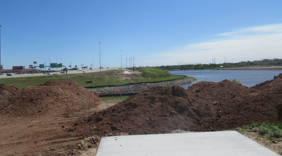
 Despite the heavy regulatory burden around waterways, it’s still cheaper to go around than to bridge it, in most cases. Nonetheless, it still means a lot more landscaping that meets a ton of regulations. And those regulations keep evolving year by year, getting more strict. Just imagine how much it added to the cost of the interstate highway junction that was built right on top of several historical drainage features.
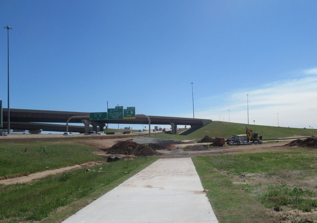
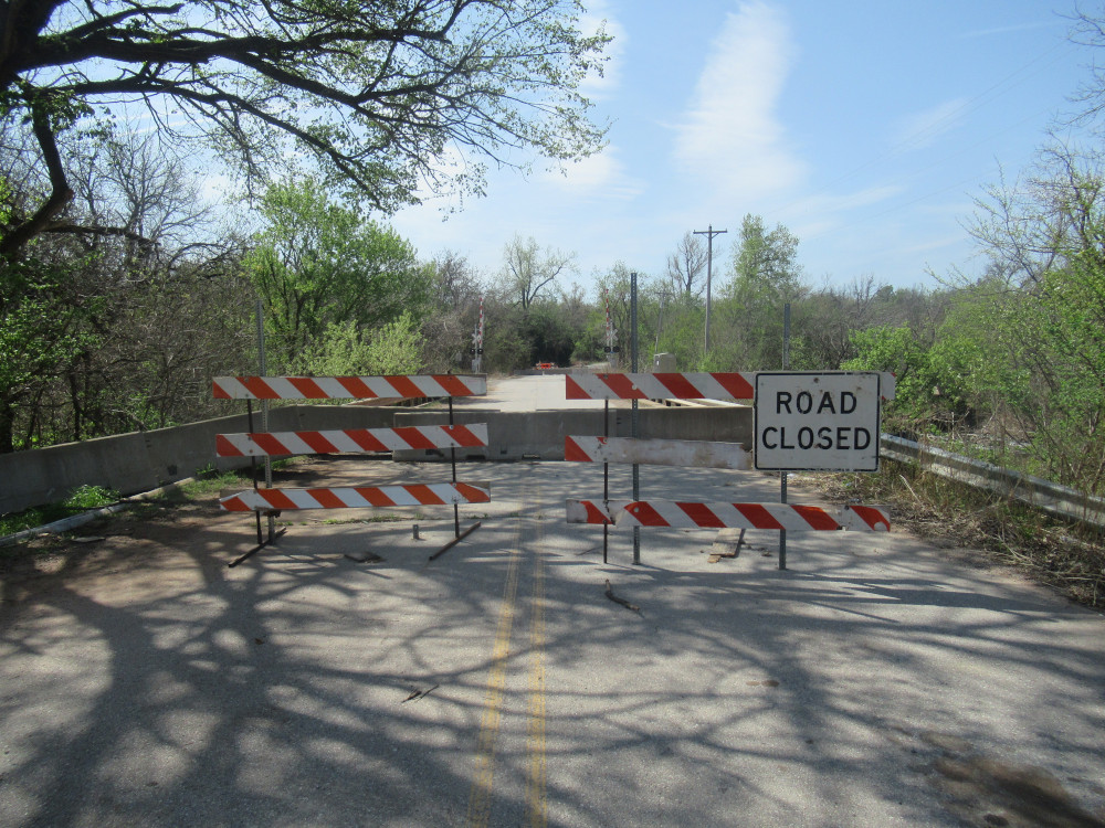
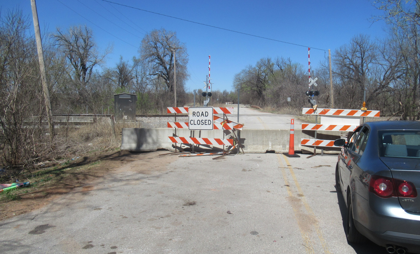
 This is the site of a future bridge. It was also a completely impassable obstacle in its current state. Another historic drainage feature, it begins somewhere on the far side the interstate highway. Further, this is no practical way to cross it without getting on the roadway, which is generally forbidden for pedestrians and bicycles. There was no way the trail could loop around this one. This also meant I had to turn back a significant distance and find another way.
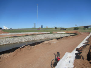
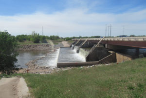 By the time I got back to the trail, it was at the very busy crossing. The line of sight was blocked by a broken down vehicle, so I took a shot of the same lower dam from the side of the new bikeway route. I had to cross carefully and quickly dismount, throw my bike over the K-barrier and jump over after it, because the barriers stand right on the edge and drivers don’t give much room. At this point all you would see of the trail is survey stakes along the upper riverbank level. The stakes do pick up an old jeep trail used by fisherman and some others. A couple of hobos down on the river bank yelled something obscene as I passed, then howled with laughter.
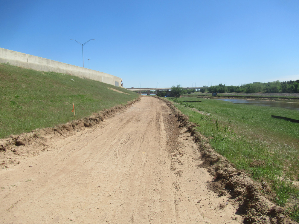
 This section is less obvious, unless you understand that, in the proximity of a major river, this would require some kind of retaining wall before the concrete path is poured. Otherwise, it was slough off repeatedly and dump excess silt into the river. There’s already way too much silt flowing naturally in the North Canadian, and silt this close to a major interstate highway exchange would be highly polluted.
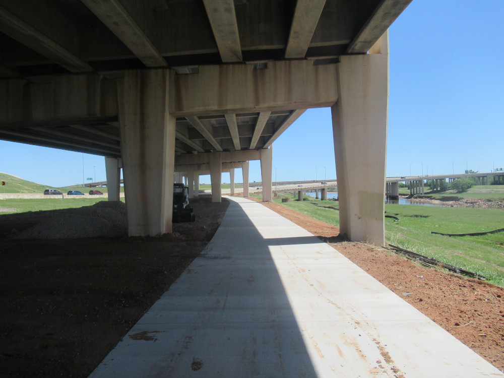
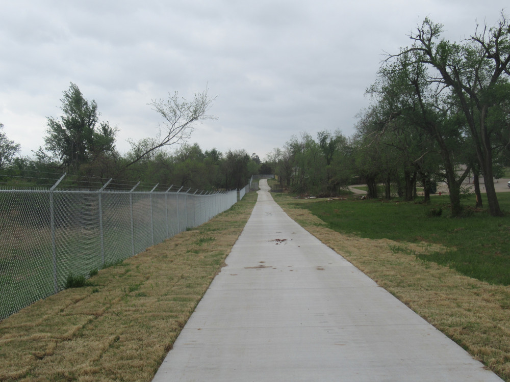
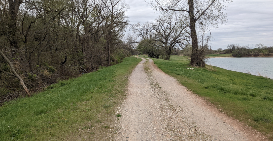
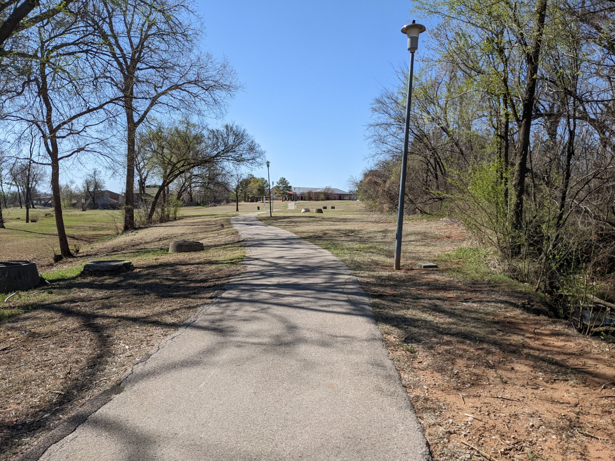
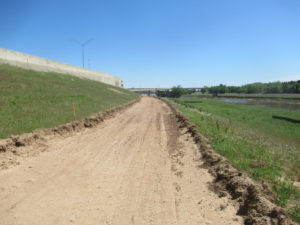
 This was an easy section so it’s already poured and usable. I discerned how the planners tried to keep the main trail as high up the bank as possible. This is right under part of the highway exchange ramps, so it was easy to pour this one. It turns out this section was pretty short, though.
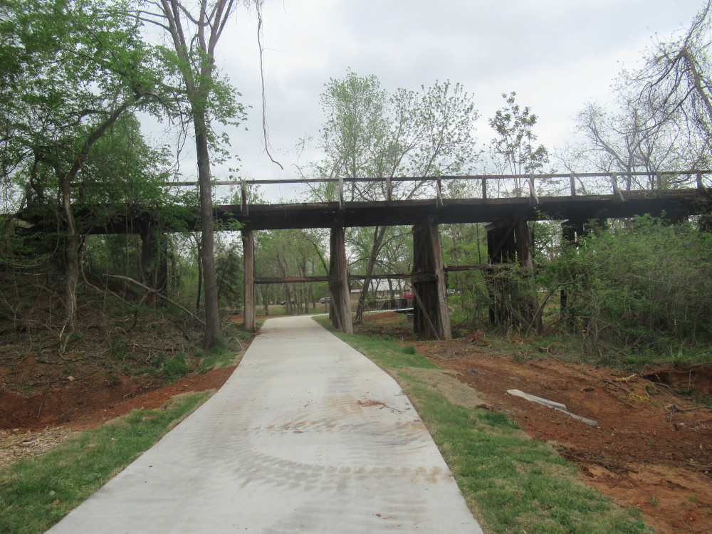
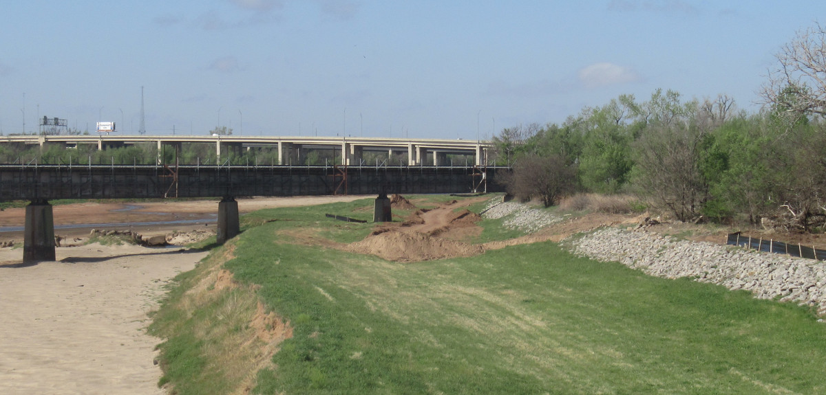
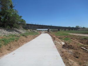 This is a very busy railroad bridge (below). It sees traffic at least once most days. At this point, the trail had to run down onto the lower flood bank. I predict this part will get wet a couple of times every year from flooding. Still, there wasn’t much to landscape, so the concrete has already been poured. We aren’t far from the current end of the planned bikeway.
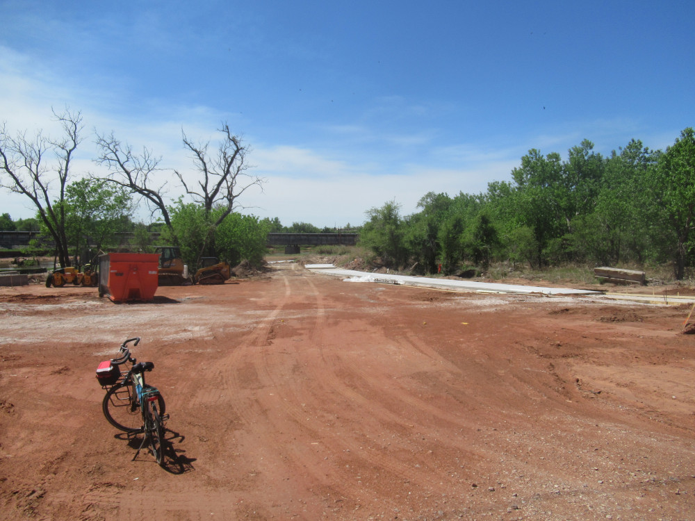
 Just a short way from the railroad bridge is NE 4th Street. The bikeway doesn’t actually terminate here, but his parking lot will be regarded as a “terminus” on the maps. The parking infrastructure will be the last thing they do before it’s finished. Don’t hold your breath; I predict it won’t be ready before October this year.
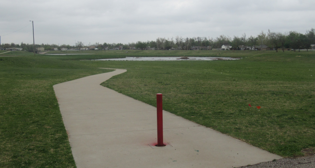
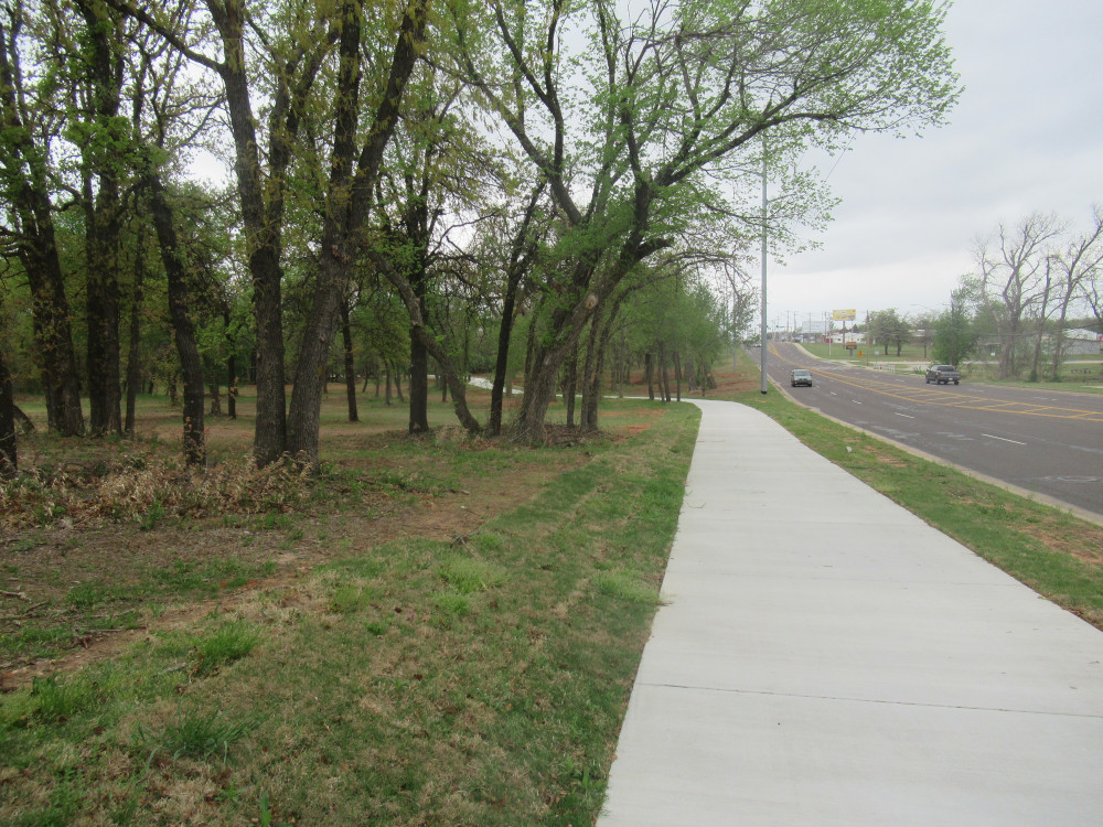
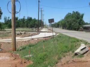 The path (below) has been marked out and landscaping begun for an extension to the Katy Trail. This will run down to the stop signs, cross over and run up the other side, over the hump where it rises above Interstate 35, and then the Katy Trail passes close just on the other side.
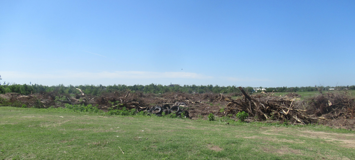 Along the River Trails on the south bank I spotted what was left of this wooded area. There were a couple of excavators around, having gotten this much done. This wooded area had hosted homeless people for many years. I have no idea whether that was the cause of the destruction or if there’s a plan to build something here. There are plenty of other homeless camps that no one bothers, but this particular one had been exceedingly trashy.
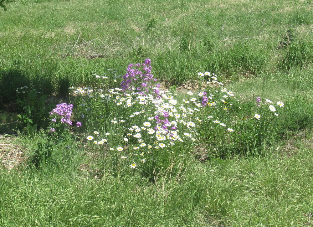 This is section of the River Trail that has been seeded with wildflowers. These two were the first to sprout this year. Soon, this whole patch will be filled with a dozen different varieties.
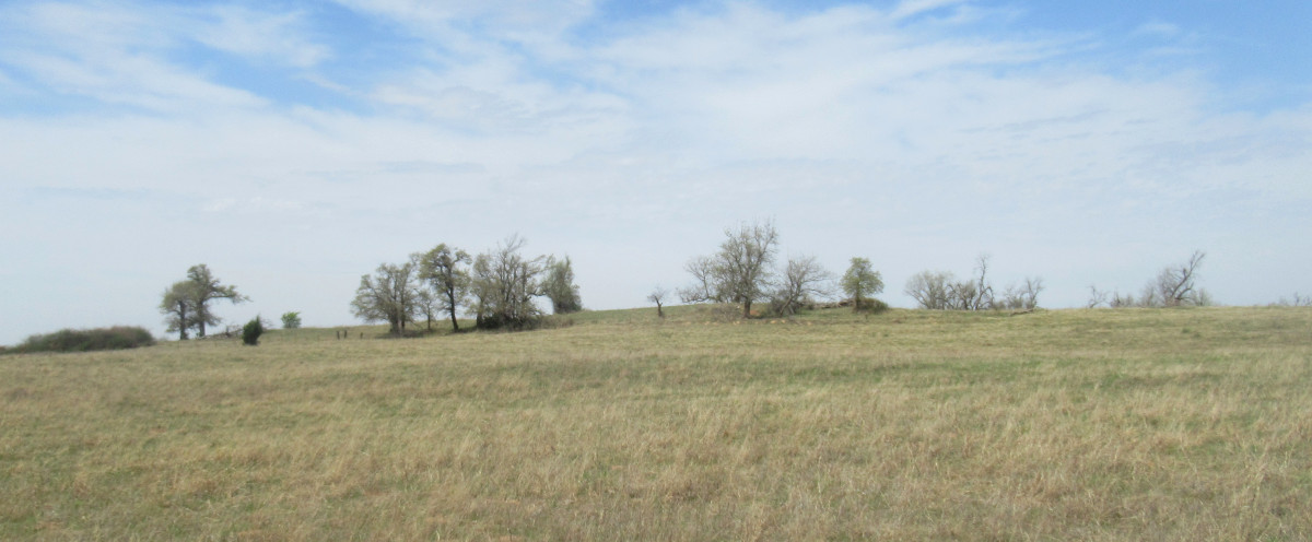
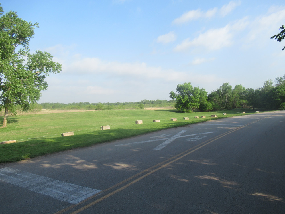 This caught my eye (below) because the foreground has been mowed regularly for years. In the background is 100% natural and native. What you don’t see is a shallow pond that hosts thousands of weeping willow trees. That’s the only thing around here that grows in high water. Just about every other tree drowns after a year or two. This swamp is kept full by a simple high water table.
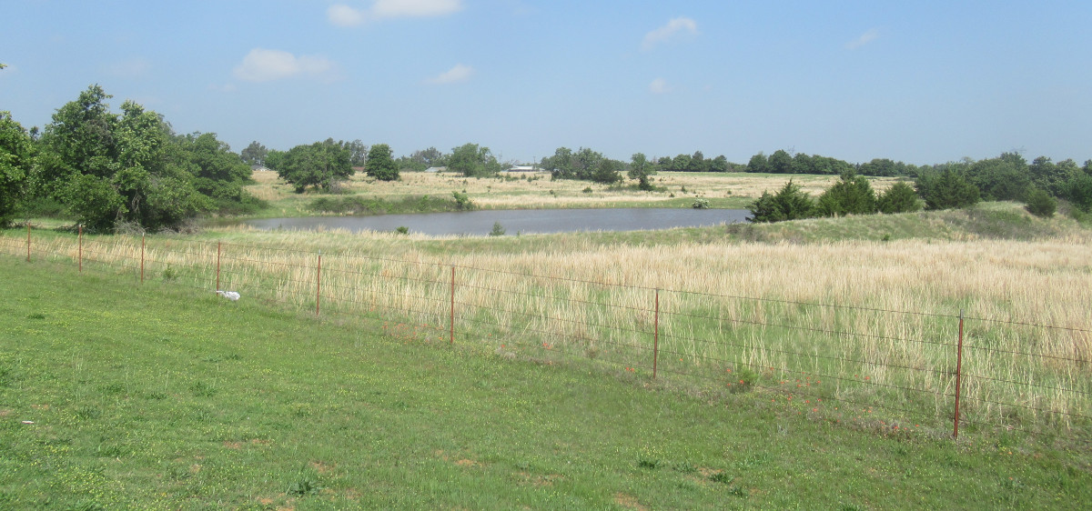 On the return portion of today’s ride, I passed this very well maintained stock pond (below) along NE 10th. I recall it being somewhere close to Triple-X Road.
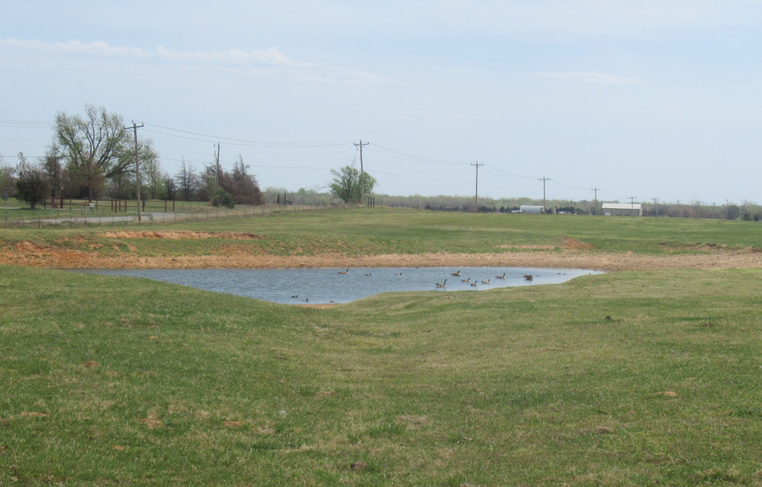
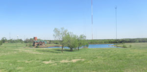